Alert
Alerts
Type of practice
Walking
Medium
3h30mn
Presentation
Description
Map
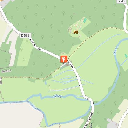
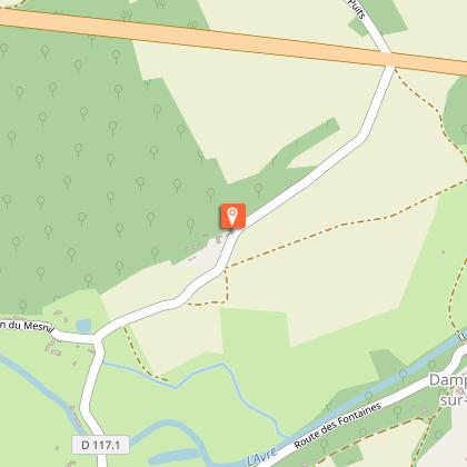
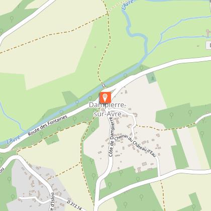
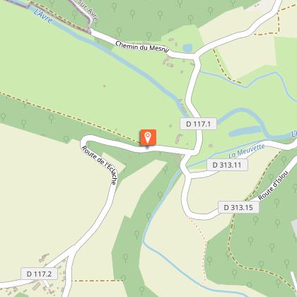
Steps
Points of interest
Ratings and reviews
See around
Avre et Meuvette


Credit : EURE TOURISME - Caroline Ledoux
Description
This trail offers a glimpse of the GR22 hiking trail that links Paris to the Mont-St-Michel and allows visitors to enjoy the joys of nature at the beginning of spring. From the bottom of the Avre valley, supplied by its tributary, the Meuvette, walkers get to the wooded hillsides - listed for the diversity of species found there - and admire the wet meadows. This watery landscape also gives pride of place to heritage sites.
Technical Information
Walking
Difficulty
Medium
Duration
3h30mn
Dist.
8.9 km
Type of practice
Walking
Medium
3h30mn
Show more
Altimetric profile
Starting point
église
,
ACON
Lat : 48.765860502072Lng : 1.1014577424706

Additional information
Contact
Tel : 02 32 24 04 43
Email : info@lcdl-evreux.fr
Markup
Full route : Hiking
Data author

proposed by
EUREKA, Agence d'Attractivité de l'Eure
26 rue Victor Hugo 27000 EVREUX
Ratings and reviews
To see around