Alert
Alerts
Type of practice
Walking
Very easy
2h
Trail running
Very easy
50mn
Presentation
Description
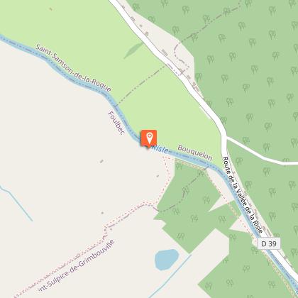
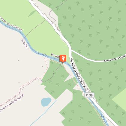
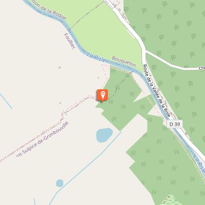
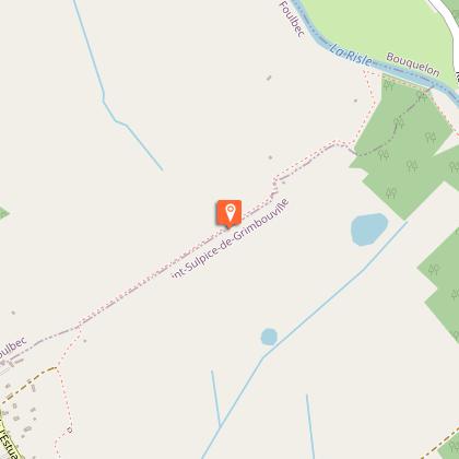
Map
Steps
Ratings and reviews
See around
Sentier de l'Anguille


Credit : EURE TOURISME
IGN cards

1811OT - PONT-AUDEMER TANCARVILLE PNR DES BOUCLES DE LA SEINE NORMANDE
Editor : IGN
Collection : TOP 25 ET SÉRIE BLEUE
Scale : 1:25 000
13.90€

107 ROUEN LE HAVRE CÔTE D'ALBÂTRE BOUCLES DE LA SEINE NORMANDE
Editor : IGN
Collection : TOP 100
Scale : 1:100 000
8.40€

D27-76 EURE SEINE-MARITIME
Editor : IGN
Collection : CARTES DÉPARTEMENTALES IGN
Scale : 1:150 000
5.90€

D14-61 CALVADOS ORNE
Editor : IGN
Collection : CARTES DÉPARTEMENTALES IGN
Scale : 1:150 000
5.90€
NR02 NORMANDIE
Editor : IGN
Collection : CARTES RÉGIONALES IGN
Scale : 1:250 000
6.80€

801 FRANCE NORD OUEST
Editor : IGN
Collection : CARTES NATIONALES IGN
Scale : 1:320 000
6.10€

EUROPE
Editor : IGN
Collection : DÉCOUVERTE DES PAYS DU MONDE IGN
Scale : 1:2 500 000
7.00€
Technical Information
Walking
Difficulty
Very easy
Duration
2h
Dist.
7.3 km
Type of practice
Walking
Very easy
2h
Trail running
Very easy
50mn
Show more
Altimetric profile
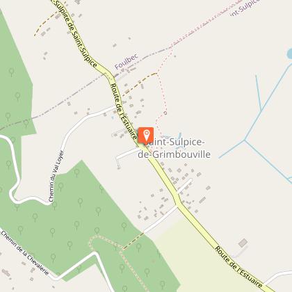
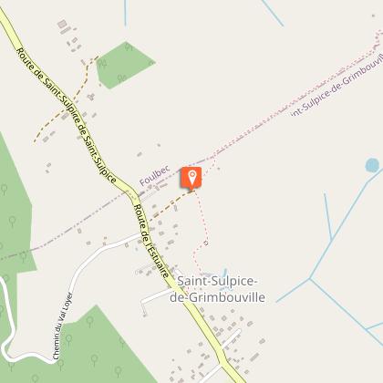
Starting point
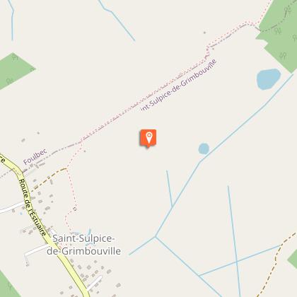
SAINT-SULPICE-DE-GRIMBOUVILLE
Lat : 49.376687278802Lng : 0.44621800258587
Steps
Additional information
Facilities
accesible aux poussettes et chaise roulante dans la partie haute
Data author

proposed by
office-de-tourisme-beuzeville_wanadoo
Ratings and reviews
To see around
