Alert
Alerts
Trail - Sur les hauteurs de l’Eminence

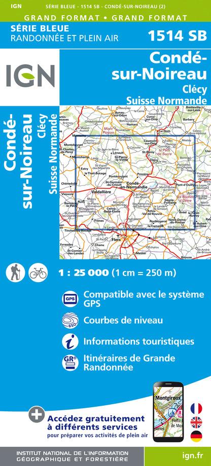
IGN cards


Description
After a start in the heart of the hamlets of Clécy, discover the village of La Villette via the natural site of Eminence, the highest point of the Suisse Normande at 253 m. Then join Cantepie and Serverie before climbing the Pain de Sucre on the Rochers de la Houle. Your route continues on the GR36 to the foot of the famous Physicist's path located at the level of the church of Vey. A beautiful finish with the path of the Cambronnerie rocks and the 30% slope of the Faverie that you will take on the way down.
Technical Information
Altimetric profile
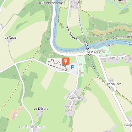
Starting point
Points of interest


Additional information
Contact
Tel : 02 31 79 70 45
Email : info@suissenormandetourisme.com
Markup
Full route : Black
Data author
