Alert
Alerts
Type of practice
Walking
Medium
2h30mn
Presentation
Description
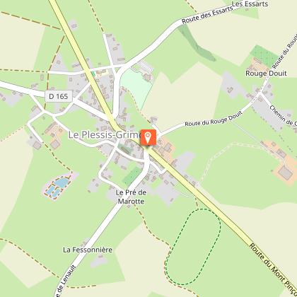
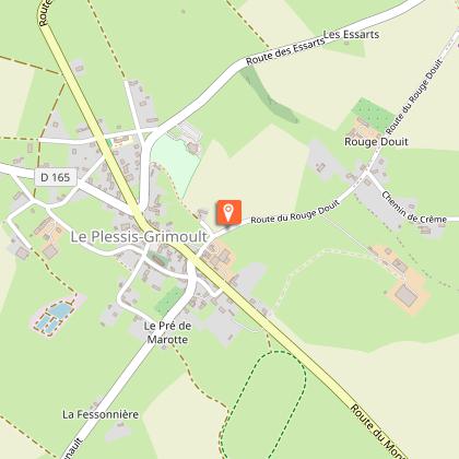
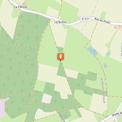
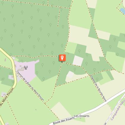
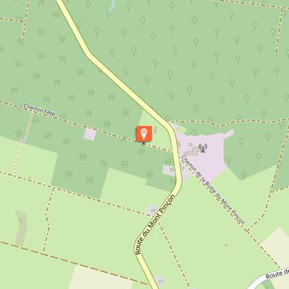
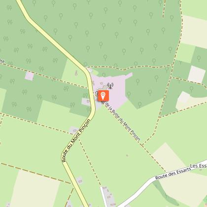
Map
Steps
Ratings and reviews
See around
Le Mont Pinçon


Credit : OTPV
Description
This loop will take you to Mont Pinçon, the highest point in Calvados, with its natural spaces and panoramas.
Technical Information
Walking
Difficulty
Medium
Duration
2h30mn
Dist.
9.2 km
Type of practice
Walking
Medium
2h30mn
Show more
Altimetric profile
Starting point
Parking de la Mairie au Plessis-Grimoult
,
LES MONTS D'AUNAY
Lat : 48.961354Lng : -0.609528
Additional information
Contact
Tel : 02 31 66 28 50
Website : http://www.paysdevire-normandie-tourisme.fr
Email : contact@paysdevire-tourisme.fr
Data author

proposed by
Pays de Vire - Collines de Normandie
square de la Résistance 14500 Vire Normandie France
Ratings and reviews
To see around