Alert
Alerts
Sur les traces de Guillaume


Description
A stroll steeped in history! As you take to this route, you will also join a share of the high road, the Roman way that crosses the Caen plain, following in the footsteps of William the Conqueror, who passed here many many years ago! Further along your way, by the Fond de Bayeulle, you will cover what was once a German airfield, in 1944. If you keep a watchful eye, you may even notice an old bunker in the middle of a field, near the Quesnay wood. A journey into the heart of the farmlands which, long since shaped by man, have preserved the indelible marks of human occupation.
Technical Information
Altimetric profile
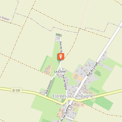
Starting point

Additional information
Contact
Tel : 02 31 79 70 45
Email : info@suissenormandetourisme.com
Website : http://www.suisse-normande-tourisme.com/
Data author
