Alert
Alerts
Type of practice
Walking
Easy
3h
Presentation
Description
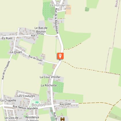
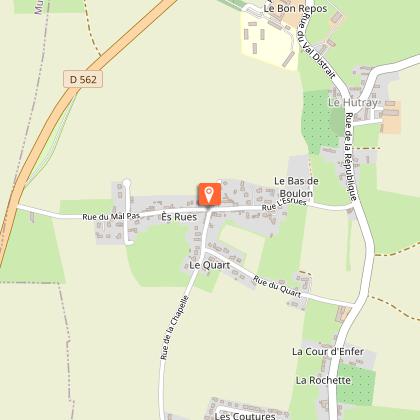
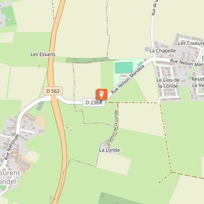
Map
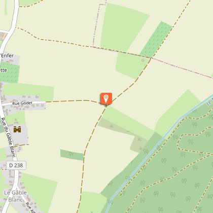
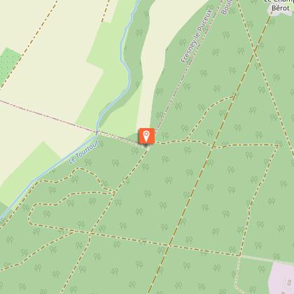
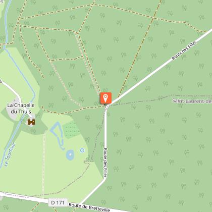
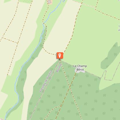
Steps
Points of interest
Ratings and reviews
See around
Entre Cingal et Vallée de l'Orne

Credit : Pixabay
Description
A great day out awaits you. This route offers you a tour of a forest environment, far from the hustle and bustle. Then, through the narrow streets, you will find the vestiges of its past, in its old stones and wash houses, its houses, castle, chapel and church. Boulon invites you to marvel at its fascinating history and rural heritage.
Located in the confines of the dry meadows and verdant bocage, this 1,475-hectare forest is a perfect example of a ZNIEFF (natural zone of ecological interest, fauna and flora) listed area.
Technical Information
Walking
Difficulty
Easy
Duration
3h
Dist.
13 km
Type of practice
Walking
Easy
3h
Show more
Altimetric profile
Starting point
Parking du lavoir de Boulon
,
BOULON
Lat : 49.0478Lng : -0.39417
Points of interest

Additional information
Contact
Tel : 02 31 79 70 45
Email : info@suissenormandetourisme.com
Website : http://www.suisse-normande-tourisme.com/
Data author

proposed by
Office de tourisme de la Suisse Normande
2 Place Saint Sauveur 14220 Thury-Harcourt France
Ratings and reviews
To see around