Alert
Alerts
Type of practice
Walking
Medium
1h30mn
Presentation
Description
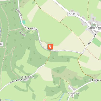
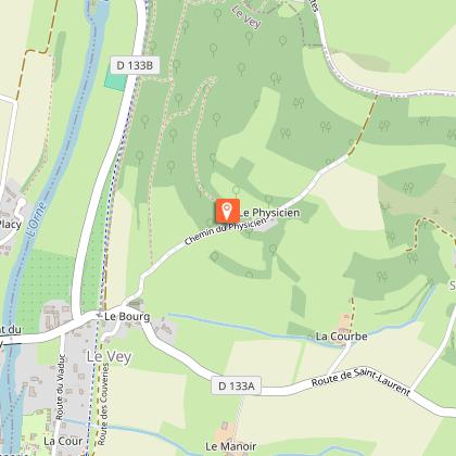
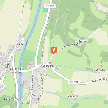
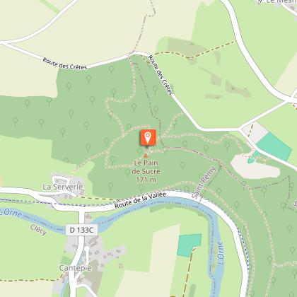
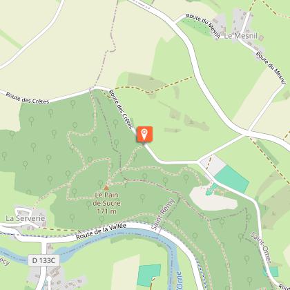
Map
Steps
Ratings and reviews
See around
Sentier nature des rochers de la Houle

Credit : Houyel
Description
The River Orne runs at the foot of these steep rocks, dominated by one which is known as the Pain de Sucre (literally the 'sugar bread'). The 'Crest route' that runs past the summit offers walkers an excellent tour of Suisse Normande's finest panoramic views. It is also a highly popular site for free flying and hang-gliding.
Technical Information
Walking
Difficulty
Medium
Duration
1h30mn
Dist.
4.3 km
Type of practice
Walking
Medium
1h30mn
Show more
Altimetric profile
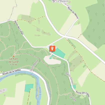
Starting point
Parking de l'aire d'envol
,
SAINT-OMER
Lat : 48.929949Lng : -0.469686
Additional information
Contact
Website : http://www.calvados.fr
Email : milieux_naturels@calvados.fr
Data author

proposed by
Département du Calvados
Caen France
Ratings and reviews
To see around