Alert
Alerts
Type of practice
Walking
Very easy
2h15mn
Mountainbiking
Easy
45mn
Riding
Easy
1h15mn
Presentation
Description
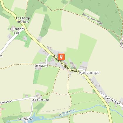
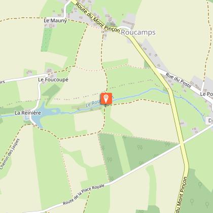
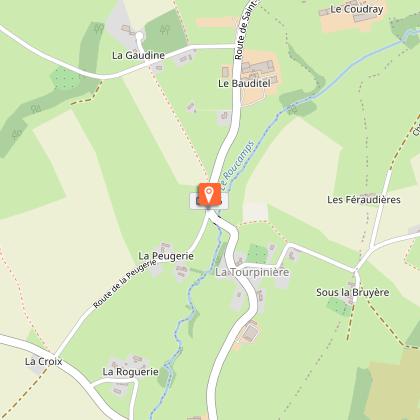
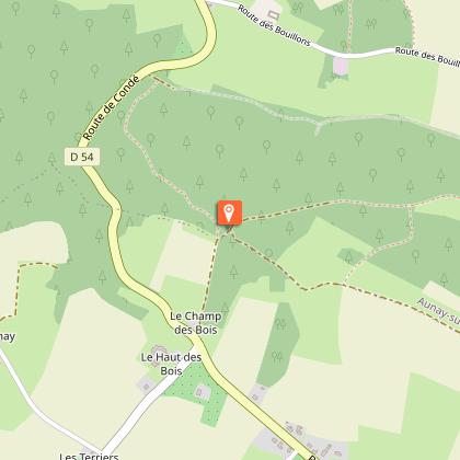
Map
Steps
Ratings and reviews
See around
Les hauts de Roucamps
IGN cards

1513SB - AUNAY-SUR-ODON VILLERS-BOCCAGE SAINT-ANDRÉ-SUR-ORNE
Editor : IGN
Collection : TOP 25 ET SÉRIE BLEUE
Scale : 1:25 000
13.90€

VEL14 - LA MANCHE A VELO
Editor : IGN
Collection : DECOUVERTE A VELO
Scale : 1:100 000
9.10€

116 LAVAL FOUGÈRES PNR NORMANDIE MAINE
Editor : IGN
Collection : TOP 100
Scale : 1:100 000
8.40€

106 CAEN CHERBOURG-EN-COTENTIN
Editor : IGN
Collection : TOP 100
Scale : 1:100 000
8.40€

D50 MANCHE
Editor : IGN
Collection : CARTES DÉPARTEMENTALES IGN
Scale : 1:150 000
5.90€

D14-61 CALVADOS ORNE
Editor : IGN
Collection : CARTES DÉPARTEMENTALES IGN
Scale : 1:150 000
5.90€

NR02 NORMANDIE
Editor : IGN
Collection : CARTES RÉGIONALES IGN
Scale : 1:250 000
6.80€

801 FRANCE NORD OUEST
Editor : IGN
Collection : CARTES NATIONALES IGN
Scale : 1:320 000
6.10€

EUROPE
Editor : IGN
Collection : DÉCOUVERTE DES PAYS DU MONDE IGN
Scale : 1:2 500 000
7.00€
Description
Here, you will discover the typical hedgerowed ‘bocage’ landscapes, along this trail on the edge of the Valcongrain forest, offering portions at an altitude of over 300m. Beautiful panoramic views over this red earth region, due to the presence of iron ore.
Technical Information
Walking
Difficulty
Very easy
Duration
2h15mn
Dist.
8.8 km
Type of practice
Walking
Very easy
2h15mn
Mountainbiking
Easy
45mn
Riding
Easy
1h15mn
Show more
Altimetric profile
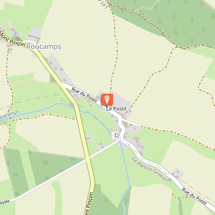
Starting point
Parking de la Mairie à Roucamps
,
LES MONTS D'AUNAY
Lat : 48.990178Lng : -0.623899
Additional information
Contact
Tel : 02 31 77 16 14
Website : http://www.paysdevire-normandie-tourisme.fr
Email : contact@paysdevire-tourisme.fr
Data author

proposed by
Pays de Vire - Collines de Normandie
square de la Résistance 14500 Vire Normandie France
Ratings and reviews
To see around