Alert
Alerts
Hiking : Mont Joly


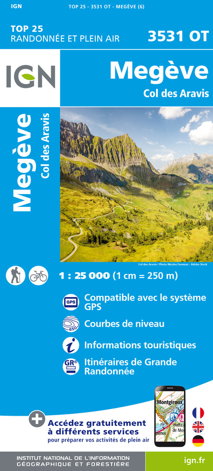
IGN cards


Description
Sporty hike for confirmed walkers only. Chalets and forest of Hermance. On arrival at the summit of Mont Joly, view over the Mont-Blanc range, the Beaufortain, the Aravis and the Bauges.
Viewpoint indicator.
At “Planellet”, follow the path in the direction of Mont d’Arbois.
At the summit follow the Mont Joux / Mont Joly direction.
Come down by the chalets d’Hermance, then le Planay, which goes down to le Planellet.
Technical Information
Altimetric profile
Starting point
Date and time
- From 01/05/2026 to 31/10/2026
Additional information
Environments
Mountain view
Panoramic view
Updated by
Mairie de Megève - 11/09/2025
mairie.megeve.fr
Report a problem
Open period
From May to November.
Contact
Phone : 04 50 21 27 28
Email : megeve@megeve.com
Type of land
Ground
Not suitable for strollers
Animals
Yes. Dogs must be kept on lead.
Data author
