Alert
Alerts
(E 12 - Coastal Path) From Banyuls to Port-Vendres

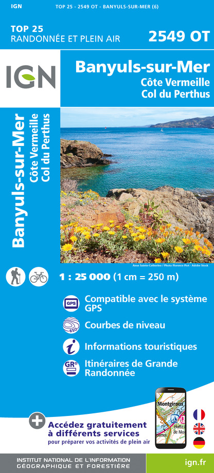
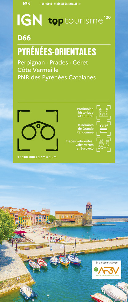
IGN cards


Description
Breathtaking views and swimming
Continue on the Anse de Fontaulé promenade, then climb the road on the sidewalks along the D 914. Continue to Elmes beach.
Turn right and take the path that winds along the coast through ancient vineyards.
Take the path on the left along the cliff towards Cape Ullastrell.
Continue on the right. The path leads to the cliff. Turn left until the barrier in the bend and continue on the track which leads to the houses at Fourat.
Join the second beach by an opening in the wall. Cross it and return to the coastal path. At the end of the beach turn left and pass under the iron bridge. Take immediately the path that goes up and continue the path inside the fences to go down towards Bernadi beach.
Cross the stream bed. Cross the beach and walk along the wall to take the path on your right.
Continue on the very steep path and cross several coves to arrive at the foot of Cap Béar.
Take the asphalt road for a hundred meters to take the path on the right. It goes up towards the semaphore. At the top, cross the paved road and take the path opposite in the direction of Fort Béar. It will continue towards the lighthouse at the pier.
At the bottom of the path, turn left and continue a few meters on the tarmac road. Turn right and take the path that goes around La Redoute de Mailly. Go back down and join the track on the right which arrives at rue de la Jetée.
Continue on this street via the zebra crossing, turn right and continue on the tarmac track. Then take opposite and continue to the right on the sidewalks towards the city center.
Bypass the ferry terminal on your left, continue on the Quai de la République then on the right the Quai François Joli until the tourist office.
Technical Information
Altimetric profile
Starting point
Additional information
Public transport
Retrouver toutes les lignes du bus à 1€ en cliquant ici
Advice
You enjoy nature, you love it, take care of it ... You take a hiking trail on which there are bins (glass, paper, leftover food, etc.). Use them out of respect for this exceptional space used every month by tens of thousands of hikers and walkers.
Access
D 914
Ambiance
Between capes, beaches and bays, everything is there to enjoy the land and the sea in a single ride
Arrival
Tourist Office of Port-Vendres
Departure
Tourist Office of Banyuls-sur-Mer
