Alert
Alerts
Combe Lambert and the ridges path
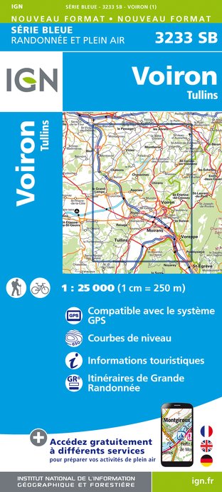
IGN cards


Description
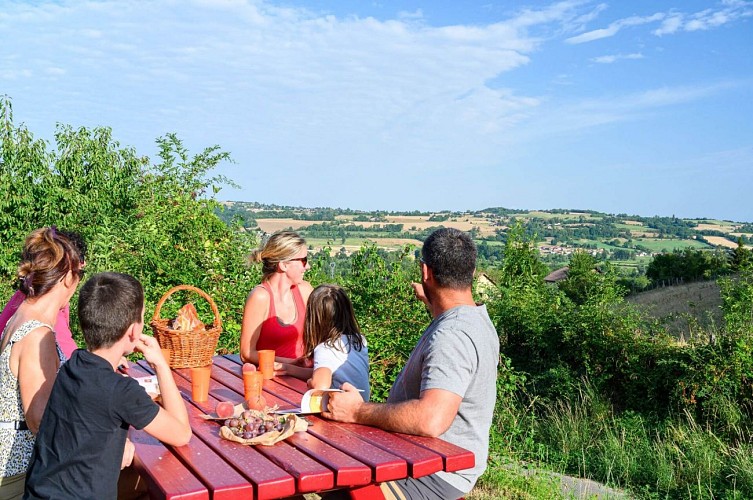
A walk through Montrevel's woods to discover a part of our dauhpinoise history. Then the landscape will open up on one of the most beautiful views of the Vals du Dauphiné.
ROUTE :
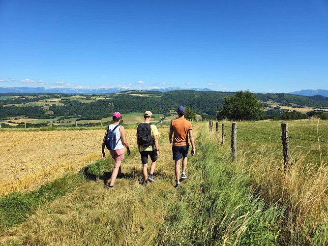
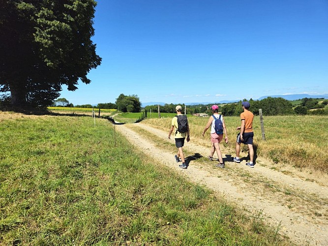
Take the path that climbs alongside the church to reach the woods of Montrevel. This is where the village once had its castle, so well evoked by the place known as ‘Château Désert’. Look up at the Trois Croix oratory and admire the view over the Hien valley and the wooded hills of Biol. Go through the pretty hamlet of Vaux and take the short, steep climb on your left to reach the path that leads up to the woods.
From the Bois du Seigneur onwards, the landscape opens up completely. In the foreground, the medieval castle of Virieu with its round towers pierces the opposite hills. In the background, the Chartreuse mountains, the Epine range and the Monts du Chat and Bugey come into view. View of Mont Blanc on a clear day.
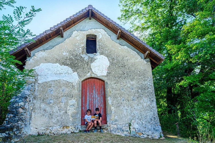
Then descend to Doissin. On the way back to Montrevel, admire the buildings of an old tile factory as you head towards the marshes. Pass by the Notre-Dame d'Artézieux chapel before returning to the village centre and its old houses.
MARKINGS AND SIGNS :
Follow the yellow signs and the following signposts:
La Touqueta > Chemin de Combe Lambert > Vaux > Bois du seigneur > Châtaignier de Bourrique > Radio-balise > Chardenouse > Doissin > Notre-Dame d'Artézieux > Retour MONTREVEL
VARIATION :
In very hot weather, we recommend a shadier option. From ‘La Touqueta’, follow the forest track towards ‘Bois vert’, then ‘Taillis’ to return to the loop at ‘Bois du Seigneur’. This will extend the walk by around 1km, with an additional climb of around 40m.
Technical Information
Altimetric profile
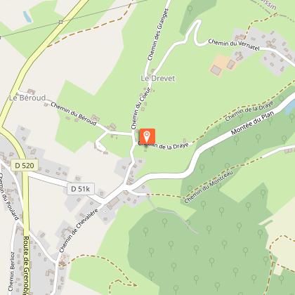
Starting point
Additional information
Environments
Panoramic view
Forest location
In the country
Updated by
Office de Tourisme des Vals du Dauphiné - 01/12/2025
www.tourisme-valsdudauphine.fr/
Report a problem
Open period
All year round daily.
Contact
Phone : 04 76 32 11 24
Email : tourisme@valsdudauphine.fr
Website : http://www.tourisme-valsdudauphine.fr/
Facebook : https://www.facebook.com/valsdudauphinetourisme/
Type of land
Ground
Hard coating (tar, cement, flooring)
Grit
Data author
