Alert
Alerts
Mountain bike loop - Green escape
IGN cards


Description
A beautiful mountain bike loop that will take you into Biol's and Belmont's woods. Views of the Chartreuse, Mont du Chat, Bugey and Pilat peaks await you.
ROUTE:
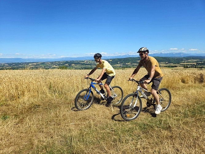
From the car park by the church in Biol, head out onto the marshes. Cross the Hien at the footbridge and bike through farmland to the fortified house. Continue for about 400m to La Moutonnière before taking a well-shaded path. Continue towards Belmont. On the right-hand side of the path, there is a picnic table (in the sun) where you can take your first break. When you reach Belmont, look out for the beautiful church on your left and the fortified house with its imposing 4-sided tiled roof, just before the church on your right.
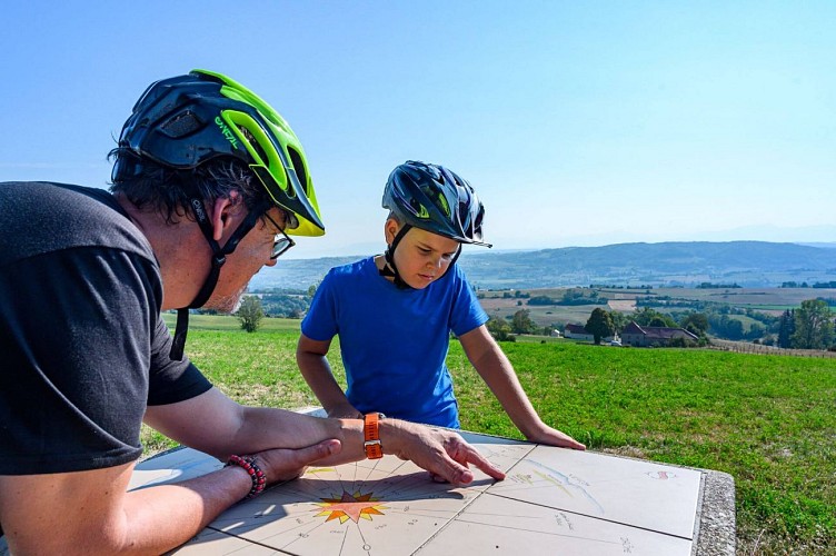
This is where the route gets tricky! There is one climb after another to reach the woods on the heights of Biol. But it's also as you get higher that you'll be able to enjoy panoramic views of the surrounding mountains (Vercors, Chartreuse, Monts du Chat). As you leave the forest at Le Crépon, the Monts du Lyonnais (Pilat massif) come into view. After another section on a forest track, you can return to the orientation table at the ‘Aux bois’ post.
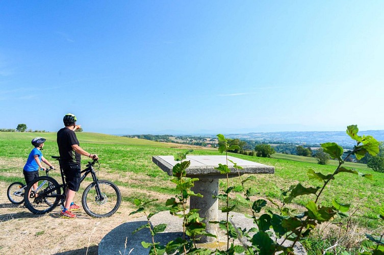
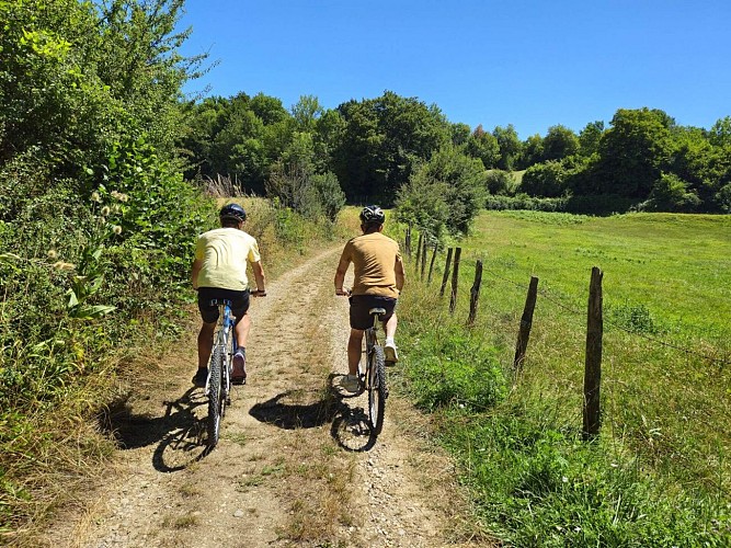
The path towards Les Azimets climbs up and down, offering numerous views of the Bugey peaks in particular. After a succession of small roads and a fine descent, you come to the Ravoux pond. On the right, the path climbs into the woods. The path is very pleasant and strewn with broom in flower from April to May. The Vallin forest takes you along the start of its main path with its very tall trees. A shady picnic table awaits you on the right, just before the ‘St-Joseph’ sign. At this crossroads, take the small path beside the gate towards Torchefelon.
At Marmonnière, we highly recommend a detour to discover the orientation table located next to the 3 oaks village hall in Torchefelon. There are alos picnic tables near the church. After Le Bessay, a pleasant path leads down to Les Sources. After a short climb, you'll still enjoy lovely views of the mountains, before the road leads back down to Biol.
WAYMARKING:
Follow the following signs and signposts:
BIOL > Le Moulin > Moutonnière > Belmont-église > Bois Bessay > les Chasseurs > Le Crépon > les Planches > les Trois Croches > Aux Bois > les Azimets > le Rapoux > Dessus Mirieu > les Quatre Sapins > Forêt de Vallin > St-Joseph > Marmonière > le Bessay > les sources > Mont-Martin > BIOL
Technical Information
Altimetric profile
Starting point
Points of interest


Additional information
Updated by
Office de Tourisme des Vals du Dauphiné - 01/12/2025
www.tourisme-valsdudauphine.fr/
Report a problem
Environments
Forest location
In the country
Open period
All year round daily.
Contact
Phone : 04 76 32 11 24
Email : tourisme@valsdudauphine.fr
Website : http://www.tourisme-valsdudauphine.fr/
Facebook : https://www.facebook.com/valsdudauphinetourisme/
Type of land
Ground
Hard coating (tar, cement, flooring)
Grit
Tricky passages
Be careful, you're on the D51h between Le Moulin and La Moutonnière (300m).
Data author
