Alert
Alerts
Type of practice
Snowshoeing
Medium
1h15mn
Presentation
Description
Map
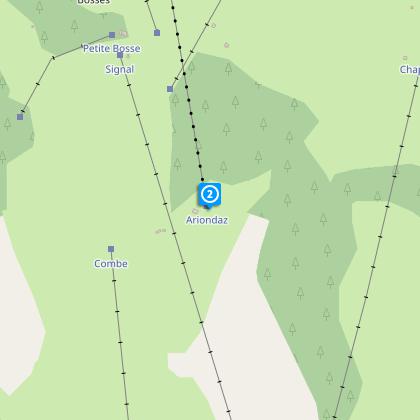
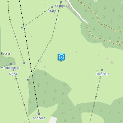
Steps
Ratings and reviews
See around
THE DESCENT FROM MONT BEL AIR


Credit : Patrick Pachod
Description
This high-altitude path is a downhill trail providing a magnificent panorama over the Dent du Villard and the surrounding mountains.
Technical Information
Snowshoeing
Difficulty
Medium
Duration
1h15mn
(1d)
Dist.
5.6 km
Type of practice
Snowshoeing
Medium
1h15mn
Show more
Altimetric profile
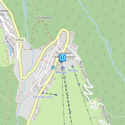
Starting point
Impasse du Marquis
,
73120
Saint-Bon-Tarentaise
Lat : 45.41711Lng : 6.65244
Steps
Data author

proposed by
Courchevel Tourisme
Ratings and reviews
To see around