Alert
Alerts
Type of practice
Snowshoeing
Easy
1h15mn
Presentation
Description
Map
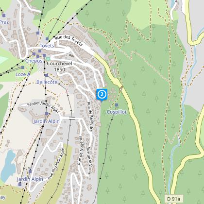
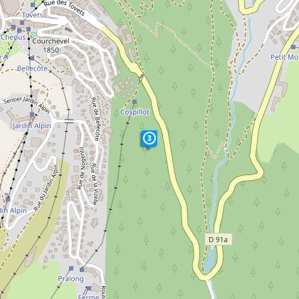
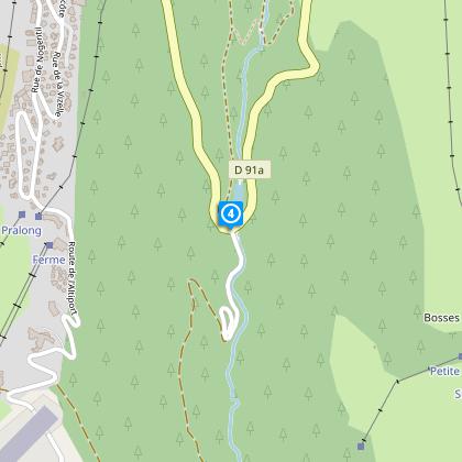
Steps
Ratings and reviews
See around
FROM COURCHEVEL TO COURCHEVEL MORIOND

Credit : Patrick Pachod
Description
This trail combines paths going around the mountainside and mainly goes downwards, passing through the forest to link the two highest villages in the ski resort.
Technical Information
Snowshoeing
Difficulty
Easy
Duration
1h15mn
(1d)
Dist.
2.9 km
Type of practice
Snowshoeing
Easy
1h15mn
Show more
Altimetric profile
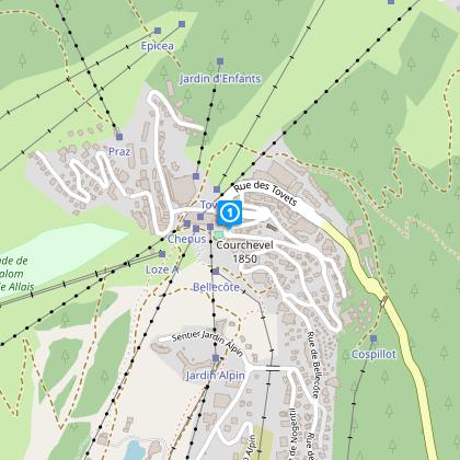
Starting point
Rue du Rocher
,
73120
Saint-Bon-Tarentaise
Lat : 45.41473Lng : 6.63443
Steps
Data author

proposed by
Courchevel Tourisme
Ratings and reviews
To see around