Alert
Alerts
Type of practice
Snowshoeing
Medium
1h15mn
Presentation
Description
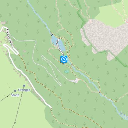
Map
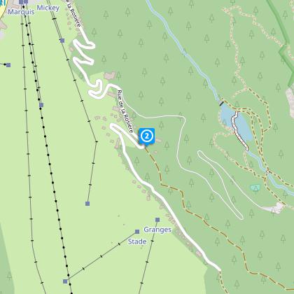
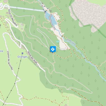
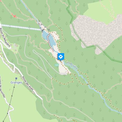
Steps
Ratings and reviews
See around
A WALK AROUND LAKE ROSIÈRE
Description
This snowshoe hike goes through an unspoiled setting and leads to a magnificent site: Lake Rosière.
Technical Information
Snowshoeing
Difficulty
Medium
Duration
1h15mn
(1d)
Dist.
4.5 km
Type of practice
Snowshoeing
Medium
1h15mn
Show more
Altimetric profile
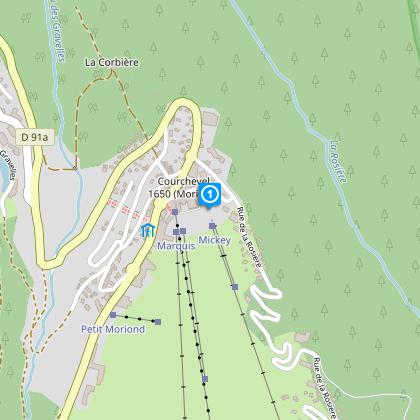
Starting point
1620
Rue du Marquis
,
73120
Courchevel
Lat : 45.41716Lng : 6.65377
Steps
Data author

proposed by
Courchevel Tourisme
Ratings and reviews
To see around