Alert
Alerts
Type of practice
Racing biking
Easy
2h
Walking
Easy
2h
Cycling
Easy
2h
Mountainbiking
Easy
2h
Presentation
Description
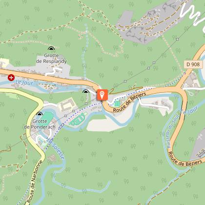
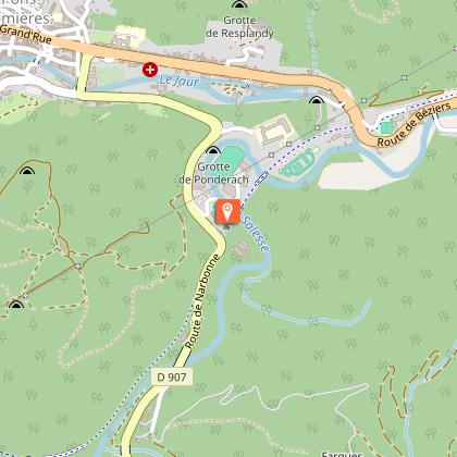
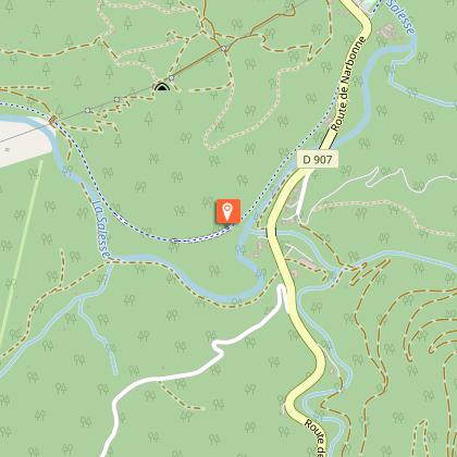
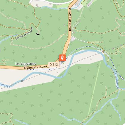
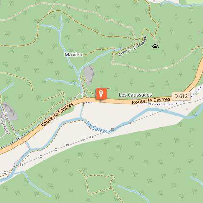
Map
Steps
Ratings and reviews
See around
ITINÉRAIRE ACCESSIBLE - RANDONNÉE VOIE VERTE À SAINT-PONS-DE-THOMIÈRES

Credit : ©E.Brendle
Description
Depuis le parking de l’ancienne gare de Saint‑Pons‑de‑Thomières, la promenade emprunte l’ancienne voie ferrée réaménagée en voie verte. L’itinéraire de 3.5 km (7 km aller/retour), ombragé et agréable, offre un cheminement sécurisé adapté aux personnes à mobilité réduite.
Le chemin, large de 3 m et permettant de faire demi‑tour facilement à tout moment, alterne une première section goudronnée puis une portion en terre compactée.
Technical Information
Racing biking
Difficulty
Easy
Duration
2h
Dist.
3.5 km
Type of practice
Racing biking
Easy
2h
Walking
Easy
2h
Cycling
Easy
2h
Mountainbiking
Easy
2h
Show more
Altimetric profile
Starting point
SAINT-PONS-DE-THOMIERES
Lat : 43.48586Lng : 2.7738
Steps
Additional information
Balisage
Panneaux "Voie verte"
Data author

proposed by
Hérault Tourisme
Avenue des moulins 34184 MONTPELLIER France
Ratings and reviews
To see around