13 Km starting from Wambaix: Pay attention to: - Do not translate proper names - Respect the subtleties
The Cirkwi brief
Embark on a refreshing journey starting from the quaint town of Wambaix, stretching for 13 kilometers towards Lesdain. This route, crafted by Sedentp, offers a unique perspective of the Niergnies aerodrome, accompanied by a serene walk along the countryside's peripheral paths. Without diving into the specifics, imagine an escapade where the crisp air meets the lush landscapes, providing an idyllic backdrop for both avid hikers and casual wanderers seeking tranquility away from the hustle and bustle. Sedentp's route is a gentle reminder of the beauty that lies in simplicity and the joy of exploring the roads less traveled.
Brief Technical Overview: Key Stats
This route initiates from Wambaix, spanning 13 kilometers with an elevation range between 76 to 121 meters. A noticeable aspect of this trek is its total incline and decline, both tallying to 129 meters, showcasing a balanced yet engaging terrain. Such figures depict a hike suitable for individuals of varying fitness levels. From start to finish, participants can anticipate a moderate challenge, ideal for those seeking to indulge in an activity that combines both leisure and exertion.
Seasonal Tips for Travellers
Whether you're planning to visit during the bloom of spring, the warm embrace of summer, the crisp air of autumn, or the chilly winds of winter, each season brings its unique charm to the Wambaix route. For an optimal experience, spring and autumn are highly recommended for their moderate temperatures and minimal rainfall, making the paths more enjoyable. Always ensure to wear appropriate footwear and carry water, especially during summer, when dehydration risks are higher. Winter adventurers should be prepared for potential icy conditions, with safety always taking precedence.
Wambaix: A Stroll Through History
Located within the heart of the Hauts-de-France region, Wambaix narrates a story spanning centuries. This route not only showcases the natural beauty of the French countryside but also glides past the historical Niergnies aerodrome, a site with significant tales from the past. The landscape and paths trodden by countless feet whisper the region's rich cultural and historical significance, making it a journey that transcends mere physical exploration. Delving into this area provides a unique opportunity to connect with the past while appreciating the present's serene beauty.
Regional Weather Insights: Best Visiting Times
Hauts-de-France, the region encasing Wambaix, experiences a temperate oceanic climate. This climatic signature promises mild summers and cool winters, with rainfall distributed evenly throughout the year. For those seeking the ideal time to embark on the Wambaix hike, late spring to early autumn provides the most agreeable conditions. During these months, participants can enjoy comfortable temperatures, reduced precipitation, and the added bonus of the countryside's vibrant hues. It's advisable to check the weather forecast before setting off, ensuring a delightful outdoor adventure.
Technical informations
13 km
|
max. 122 m
min. 76 m
78 m
| |||
Style : Hiking | ||||
Altimetric profile
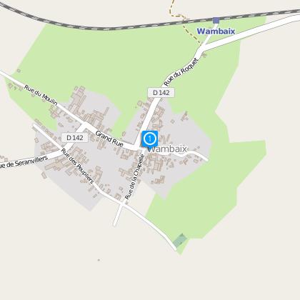
Starting point
Steps
13 Km en partant de Wambix
départ place de l'église
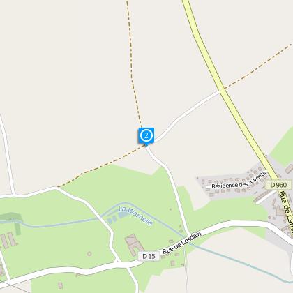
au point 2 au croisement prendre a droite le chemin herbeux
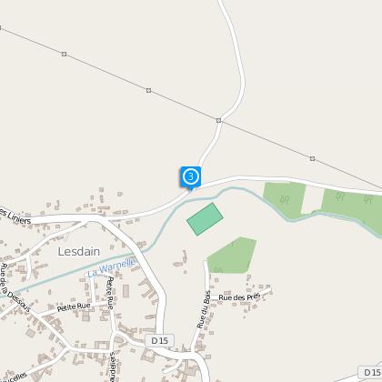
au point 3 a la chapelle prendre a droite
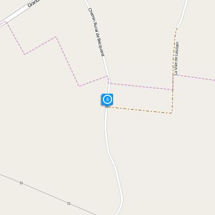
au point 4 ne pas continuer tout droit vers la station d'épuration ,mais prendre a droite
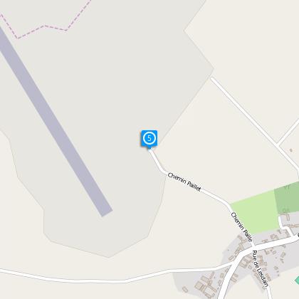
au point 5 toujours rester sur les chemins en goudron sur les extérieurs du champs d'aviation , jusqu'à la D960
Data author
