From Hauts de Saint-Paul, Trois-Bassins and Saint-Leu between the Glacière and The Piton-Rouge


Description
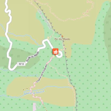
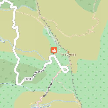
ITINERARY
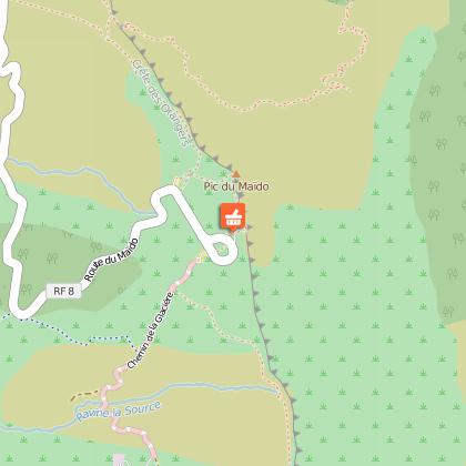
Maïdo (2203m), La Glacière (2489m), Piton Rouge (2401m), the Piton Rouge forest road (1820m).
Before starting out on the hike, we will take a detour via the Maïdo viewing point, from which you will overlook Mafate and its various islets, the subjects covered will be the history and peoples of the Cirque, with strong links to François Mussard, the first person, in 1700, to obtain a concession on the land between the Ravine Trois-Bassins and the Grande Ravine in the current town of Trois-Bassins. This area contains, at the summit of its mountains, the sites of Grand Bénare and La Glacière, which can be reached after 2 hours walking.
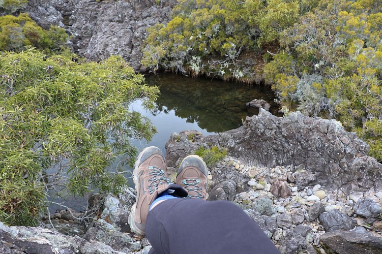
During certain times of the year, ice may cover certain parts of the path ("Bénare" comes from "malgache" meaning great cold). The three wells were constructed during last century using stones. They were used for storing ice that formed naturally in the ponds; this was then transported by men on their backs in sacks or broken into blocks of 25kg, along the road called Glacière to the Maison des Villèles where Mme Desbassyns lived.
After two more hours' walk you will reach the "Roi Phaonce" cavern, which is supposed to have served as a shelter for the maroon Phaonce, and a tomb, which is also supposed to be his. This former King of the maroons had his own guards and hierarchy and even administered justice.
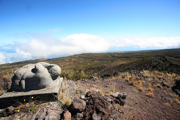
You will now begin the ascent of the Piton Rouge (2,401m), the path that leads to the site, across a stony, desert-like ground (basalt stone). From there, you can admire bas-reliefs by the sculptor Gilbert Clain, which pay homage to the maroons. The maroons' epic story marks the history of the high western region from the end of the 17th century to the abolition of slavery in 1848. Longing for freedom from the cruelty of their masters, the slaves fled and hid in places that were difficult to access; they had their leader and system of organisation.
The descent to the Piton Rouge camp crosses a picturesque landscape with brush vegetation composed of highland tamarinds, heather and "Sophora Denudata", with several clearings along the way until the Piton Rouge Forest Road.
Practical information: You will need two cars, one at the beginning of the Maïdo path and one at the end of the Piton Rouge path. If you do not have a second car, you can call a taxi to come and collect you at the end of your hike. You can also do this hike accompanied by a guide.