Alert
Alerts
Dos d'Ane: The Piton de Sucre Loop


Description
DURATION: 1 hour
ITINERARY
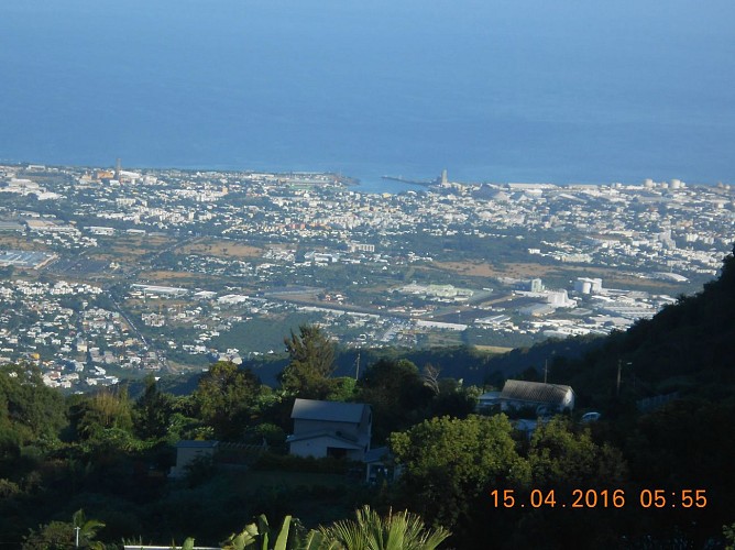
Take the direction of Dos d'Ane. You will see "Dos d'Ane" with an arrow carved in a large rock. Park your car and go in this direction on foot. You will walk into the woods, the slope is sustained; a false-flat awaits you behind a hut, that offers you a view over the gorge of the Ravine à Marquet. You will cross abundant vegetation where you can see aloes and will pass an area that has been completely taken over by ferns. After passing a mango tree you will reach a fork in the road indicated with a cross. Turn left. The slope is gentle and the path is open on the left over the Ravine à Marquet. From the Cap La Houssaye Port, via the Rivière des Galets, the west is spread out in front of your eyes.
After climbing several blocks, one final effort is required and you will reach the summit of Piton Sucre. A sign indicates a paragliding site, take the rough path to the right of the sign, where there is a chain over it a little further on. Continue to follow it. On the right you will see the Canalisation des Orangers and the Cap La Houssaye. If you look carefully you will also see the summit of Des Calumets in the Cirque de Malfate and Le Gros Morne. A track goes off to the left. Stay on the path. You will begin to descend on a concreted path opposite the Piton des Calumets. You will reach the road. Turn right. The last houses mark the end of the concreted road.
Continue, you will now be walking on a dirt path, with vegetation and several aloes. The slope is gentle. A view will open over the Rivière de Galets. Continue your ascent along a cornice with the wall on your right. On the opposite rampart you will see the Canalisations des Orangers. On your right you can see some beautiful views over the Etang Saint-Paul and the river. After a pathway through bamboos, you will find the fork with the cross you saw on the way. Turn right to join the Dos d'Ane road and your car.
Bus: Take the Kar'Ouest line 8A - Louise Ancelly bus stop
Technical Information
Altimetric profile
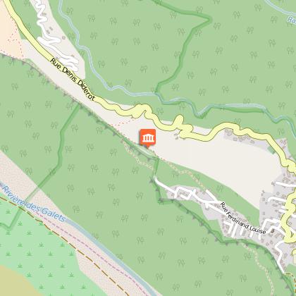
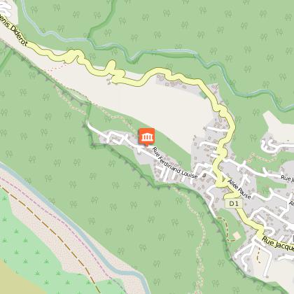
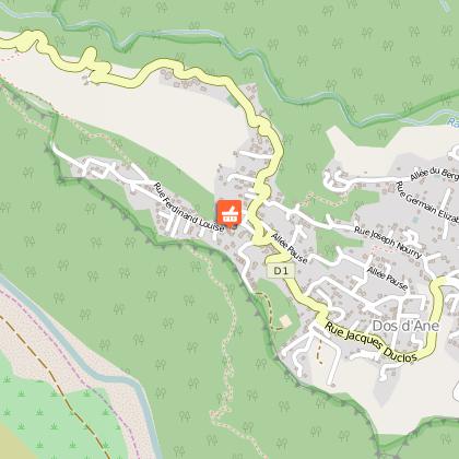
Starting point
Points of interest
Additional information
Skill
Family Walk
