Alert
Alerts
Bassin Vital


Description
DURATION: 1 hour 15 round trip
Please note:
There is an abrupt climb at the beginning.
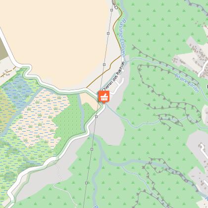
ITINERARY
From the main road, take the direction of Saint-Paul / Bois de Nèfles / Savanna. 300 m after the petrol station, turn right towards the Tour des Roches and drive for 1.7 km until you reach the car park on the left.
By bus: take line 4 bus run by Kar'Ouest from Saint-Paul bus station.
The path (which is not well sign-posted) runs along the ravine at first. After 5 minutes, on the right, follow the yellow and white signposts. You have to cross the ravine and start an ascent that will last 30 to 40 minutes. After this climb, you will reach a point where there are three different paths. You must therefore be careful to follow the yellow and white signs and follow the path that goes to the left. The path that slopes down takes you directly to the Bassin Vital in around 15 minutes.
It is of course not possible to bathe there, the water is murky and certainly very deep.
Cross the ravine to get to the other side.
More courageous hikers can turn right, the path goes up to the "Hangar" area, in Bois de Nèfles. In 15 minutes you will get to a platform that will enable you to see a panorama across the whole bay of Saint-Paul, as well as the Grande Fontaine area. You can thus overlook the whole Bassin Vital. Take the same path to return to the Bassin.
If you do not want to continue to the Hangar, turn left and this will allow you to rejoin the Tour des Roches path.
Practical information
Take insect repellent in the hot season, a sun hat and some water!