Alert
Alerts
The Ecouges
Description
Between forest and mountain pastures in the heart of the sensitive nature area of Ecouges
From Pont Chabert (882 m) follow the forest road towards the sheepfold of Fessole (8,1 Kms). The large trail along the stream allows easy access to the "Grandes Routes" 1 (995 m), then the passage du Versoud (oratory) and the old farm of Rivet 2 (1095 m). The Rivet viewpoint offers a magnificent view of the Isère valley. A sign indicates the sheepfold at 4.1 Kms. Take the track that runs east. At 1182 meters reach the Pré du Sabot 3. Leave on the right the Pas de Montbrand. At 1300 meters, leave the forest and continue north in the clearing. Quietly reach the sheepfold of Fessole 4 located under the Pas de la Pierre Taillée.Return:The return is the same as the itinerary of the go.
Technical Information
Altimetric profile
Starting point
Additional information
Public transport
Il n’y a pas de transport en commun qui desserve le point de départ de la randonnée.Transports les plus proches :En train :Gare SNCF à Grenoble ou Saint-MarcellinCalcul d'itinéraire avec www.oura.com/en Bus :Avec les cars Région prendre la ligne T60jusqu'à Saint-Gervais (depuis Grenoble ou Pont en Royans, horaires limités) et rejoindre le départ de la randonnée en stop ou en covoiturage.En Autostop : Possibilité d'aller et/ou retour en autostop avec Rezo Pouce (retrouvez tous les arrêts sur www.rezopouce.fr) En covoiturage : Proposez ou reservez votre covoiturage avec la plateforme régionale Mov'Ici.
Advice
Path with no difficulty. In bad weather, orientation on the forest track is easy. It is necessary to enjoy a significant snowfall to be able to appreciate this itinerary. The starting point of the hike is at 882 meters above sea level.More information on Nordic WalkingNordic walking is a respectful and responsible practice. Before you jump into the field, do it.
Advised parking
Parking of Pont Chabert
Access
From Grenoble, take the A49 towards Vinay (direction Valence). Take exit number 10 and join the village of St-Gervais. Continue on the D35 towards Col de Romeyère (Vercors). Reach Canyon des Ecouges and park in the parking at Pont Chabert.
Arrival
Pont Chabert-Route des Ecouges
Ambiance
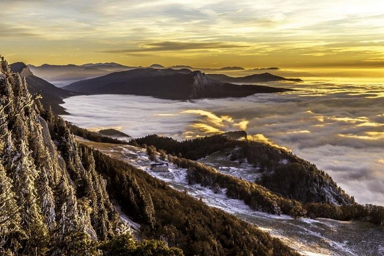
The sensitive nature area of Ecouges: a heritage to preserve.The site of Ecouges extends between 880 m and 1636 m of altitude and is essentially mountainous.With a surface area of 918 ha, it includes various ecological groupings induced by the type of soil and topography: a dry beech forest on lapiaz, wetlands on impermeable terrains, pastures, a spruce forest, a fir beech forest and A maple slope under a cliff.The Ecouges site is representative, on a departmental scale, of the diversity of forest environments on the montane floor of the limestone prealpine massifs.It offers favorable conditions for a particularly abundant fauna: 70 species of birds, 22 species of mammals, 10 species of reptiles and fish.The path is more than eased towards the sheepfold of Fessole and reserves some impregnable views on the valley of the Isère.
Departure
Pont Chabert-Route des Ecouges
