Alert
Alerts
Strong as a Chère rock

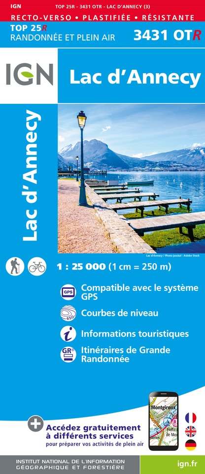
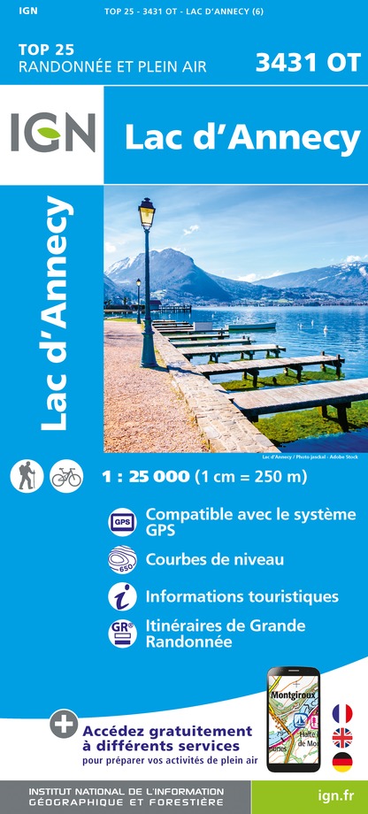
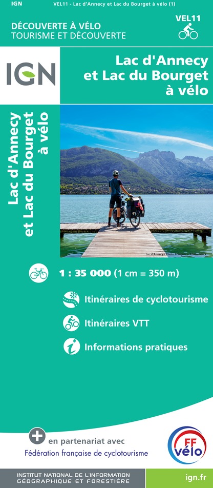
IGN cards


Description
A family outing where geology tells the story of the landscapes of Lake Annecy
From the car park, follow the signs for "Belvédère de la Crête". Once you reach the viewpoint, a quick round trip (50 m) will take you to the panoramic view of the Petit Lac, La Tournette to the left, the Massif des Bauges to the other side and the beautiful crest of the Montagne d'Entrevernes. Take the path downhill towards "Belvédère du Roc de Chère". Turn right towards "Echarvines par la Patte d'Oie". At the "Patte d'Oie" junction, turn left, then follow the path along the golf course to the right which leads back to the car park.
Technical Information
Altimetric profile
Starting point
Points of interest


Additional information
Advice
You are in a nature reserve, a protected and fragile environment. By complying with the regulations in place, you can help to reduce disturbance to the natural environment, fauna and flora, and play your part in preserving nature. Always be careful and considerate when out hiking. Asters, CEN 74 cannot be held responsible in the event of any accident or incident that may occur on this trail.
Réserve naturelle du Roc de Chère
La réserve naturelle est un espace exceptionnel, ouvert à tous, dont les patrimoines naturels, culturels et environnementaux sont rares.
Pour profiter et admirer encore longtemps de cette nature sauvage et préservée, merci de prendre connaissance de la réglementation :
Animaux acceptés
De manière générale votre chien, s’il est autorisé, doit être tenu en laisse en espaces naturels.
Par sa présence, son odeur et ses déjections, votre chien peut perturber la biodiversité. Sa divagation dans la nature peut avoir des conséquences lourdes pour la faune sauvage et les troupeaux (transmission de germes, stress de la faune sauvage, destruction des couvées au sol).
Les chiens sont interdits en cœur de parcs nationaux et dans la plupart des réserves naturelles.
Public transport
Bus: 60 Annecy - Angon, Echarvines stop annecy.transdev.com/line/ligne-60/ Cycling: "green" cycling route around Lake Annecy
Advised parking
Parking Golf d'Echarvines
Arrival
Parking Golf d'Echarvines
Ambiance
The Roc de Chère is a complex geological structure. Such great biodiversity in such a small area makes the area unique. Sandstone ridges, fissures, nummulites... Find out more about these little-known phenomena.
Access
Route du Golf, 74290 Talloires-Montmin Take the road D909a from Annecy towards Talloires. Go through the village of Menthon-Saint-Bernard, at the hamlet of Echarvines (speed bumps on the road) turn right towards the Talloires golf course. After about 200 metres, park on the right in the large gravel parking area. From Doussard, take the road D909a towards Talloires. Drive past Talloires. After sharp twisty turns, at the end of the long straight road, turn left towards the Talloires golf course.
Departure
Parking «Le golf d'Echarvines »
Data author
