Alert
Alerts
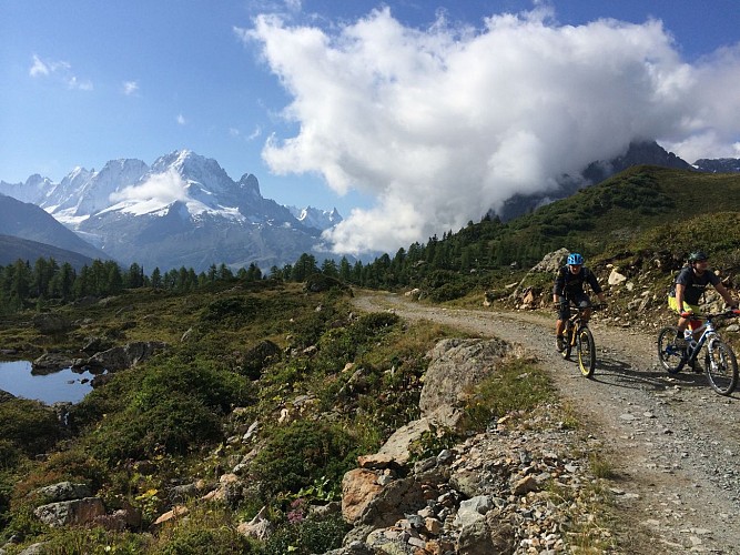
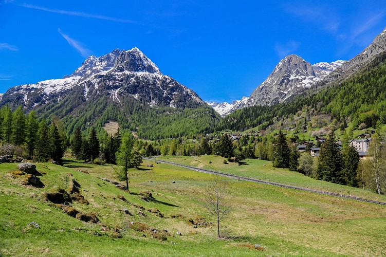
MTB trail : A - From Vallorcine to Argentière
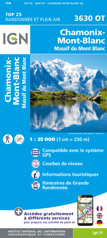
IGN cards


Description
Itinerary of connection in two directions between the two communes of the top of the valley, while passing by the Col des Montets and while crossing pretty hamlets.
Possibility to do the route in the opposite direction: Argentière - Vallorcine: D+ 260m.
Wearing a helmet and protections are highly recommended, mountain bike adapted to the descent with appropriate braking system.
Mountain bike guide available at all rental companies in the valley as well as at the Tourist Offices.
Technical Information
Altimetric profile
Starting point
Date and time
- From 01/05/2026 to 15/10/2026
Additional information
Environments
Close to GR footpath
Forest location
Mountain location
Isolated
Updated by
Office de Tourisme de la Vallée de Chamonix-Mont-Blanc - 27/10/2025
www.chamonix.com
Report a problem
Open period
From 01/05 to 15/10 daily.
Subject to favorable snow and weather conditions.
Contact
Phone : 04 50 54 60 71
Email : info@vallorcine.com
Website : http://www.vallorcine.com
Type of land
Stone
Ground
Grit
Animals
Yes
Data author
