To see around
See more
Open
Close
Show
Show
Show
Show
Show
Show
Show
Show
Show
Show
Show

Oups... It would appear that Cirkwi does not have permission to use your location.

Description
Map
Points of interest
Ratings and reviews
See around

MTB Grand Raid Godefroid 70 km

Les Hayons - Mont de Zatrou - hiver (MT Bouillon) BR
Le Maka - cavaliers (Christel François) (8)
Bouillon PV Charlier avril 20 A. Villeval (3)
20070501rocherclappe757
Mountain-bikes-Ar Li
Credit : MTBA

Description

Mythical permanent mountain bike course of the Grand Raid Godefroid.

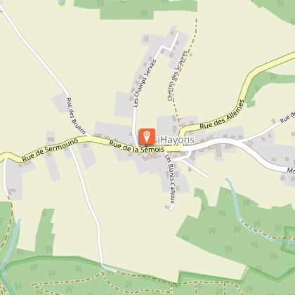
The 70 km route is shared with the 40 km Grand Raid route. This adds a section to the villages of Les Hayons, La Cornette and Noirefontaine before reaching Bouillon.

In general, the paths are fairly wide, stony and earthy. Few technical sections.

There are a number of viewpoints, such as the Charlier viewpoint (Bouillon), the Rocher des Clappes (Dohan), the Mont de Zatrou (Dohan), La Roche à Colas (Les Hayons).


Translated with www.deepl.com/translator (free version)

Technical Information

Mountainbiking
Difficulty
Hard
Duration
6h
Dist.
63 km
Show more

Altimetric profile

Starting point

12 Quai des Saulx , 6830 Bouillon
Lat : 49.79323Lng : 5.06824

Points of interest

image du object

The legend of Colas Tcha-Tcha and the fairies of Hultai

6830 Les Hayons
- Pays de Bouillon en Ardenne -
Consulter
image du object

Le point de vue de la Roche à Cola Tcha-Tcha.

6830 Les Hayons
- Pays de Bouillon en Ardenne -
Consulter
image du object

Covered barbecue area "Le Saty, au gué du Han du Han"

6831 Noirefontaine
- Pays de Bouillon en Ardenne -
Consulter
image du object

Viewpoint from "la Roche de la Schevauchée"

6836 Dohan
- Pays de Bouillon en Ardenne -
Consulter
image du object

Le point de vue "Charlier"

Situated 3.5 kilometres south-east of the Pont de France, the Charlier viewpoint is on the left bank of the Semois, 500 metres from the old Leauwez redoubt, which provided security for Bouillon against an invader from the east. The forest opposite, to the north, is called Buhan. The river has bypassed the loop of the Han du Han and created the island of Locaillou, followed by the island of Stassart, over a distance of one kilometre. The Semois, on the left bank, comes up against a rock which, at a height of 2.5 metres, still bears the mark of the pike pole used by the miquelets (woodcutters), leaning on their wattle and daub, to push back the load of wood and prevent it from smashing against the rock. This is known as the "coup de lime". Downstream, shortly after the Leauwez ford, the Semois flows into the Burnelles stream, which runs before the Grimouty woods. The name comes from its location "behind the monastery", the former church of St-Charles, in the parish of Bouillon. There is not the slightest trace of habitation in the landscape, nothing but the Semois and the mixed deciduous and coniferous forest, a few traces of meadows on the distant horizon, and everywhere the silence conducive to meditation, interrupted by birdsong, enlivened by the flight of herons and buzzards. Source: Rocks and Boulders working group coordinated by the Semois - Chiers River Contract

6830 Bouillon
- Pays de Bouillon en Ardenne -
Consulter

Additional information

Signalétique (EN)

N3 (Mountain biker) - Red

Data author

Ratings and reviews

To see around
See more
Open
Close
Show
Show
Show
Show
Show
Show
Show
Show
Show
Show
Show
Caution!
We have no information on the difficulty of this circuit. You may encounter some surprises along the way. Before you go, please feel free to inquire more and take all necessary precautions. Have a good trip! 🌳🥾