Alert
Alerts
Croix de Lionnet Enduro MTB (Lalouvesc-Tournon-sur-Rhône )
Description
You go to 1100 m altitude. The first part is in coniferous forests on player trails. Then you take the ridge in the beeches to the Croix de Lyonnet, before a final in the Gorges du Doux with mineral landscape.
Technical Information
Altimetric profile
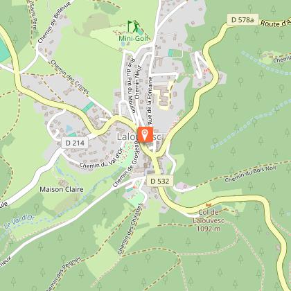
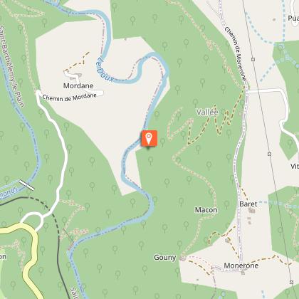
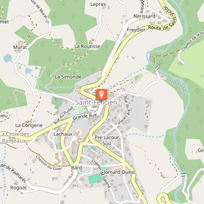
Starting point
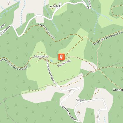
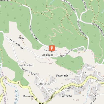
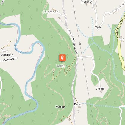
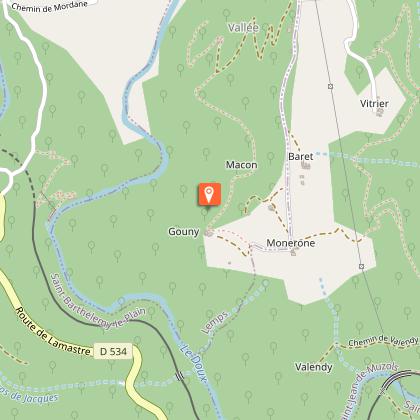
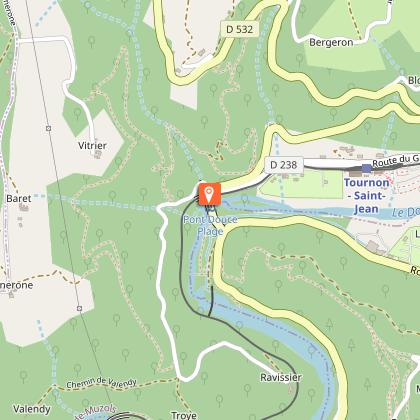
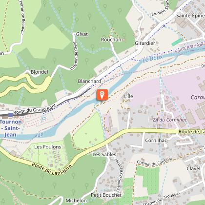
Steps
Additional information
Updated by
Ardèche Hermitage Tourisme - 12/06/2025
ardeche-hermitage.com
Report a problem
Open period
All year round.
Contact
Phone :
04 75 08 10 23
04 75 06 06 12
Email : info@ah-tourisme.com
Website : rando-ardeche-hermitage.fr/fr/trek/58019-gorges-du-doux-(lalouvesc---tournon-sur-rhone-difficile)
Type of land
Rock
Ground
