Alert
Alerts
Refuge de la Dent Parrachée


Description
Hiking accessible to any walker with a panoramic view of the dams Plan d'Amont and Plan d'Aval, Dent Parrachée and other surrounding peaks.
Technical Information
Altimetric profile
Starting point
Steps


Points of interest


Date and time
- From 15/06/2026 to 30/09/2026
- From 15/06/2027 to 30/09/2027
Additional information
Tips
Possibility of access via chairlift Gran Jeu - go time: 1:30
Updated by
Parc National de la Vanoise - 19/02/2026
vanoise-parcnational.fr/fr
Report a problem
Environments
Lakeside or by stretch of water
Close to GR footpath
Mountain view
Lake view
Mountain location
Open period
From 15/06 to 30/09.
Subject to favorable snow and weather conditions.
Contact
Phone :
04 79 05 99 06
04 79 20 30 80
Email : info@hautemaurienne.com
Website : https://www.haute-maurienne-vanoise.com
Facebook : https://www.facebook.com/instantHMV/
Location complements
Access by road from the dams. From Aussois, head towards the Plan d'Aval and Plan d'Amont dams, Vanoise National Park. 7 km, narrow road - forbidden to coaches.
Type of land
Ground
Not suitable for strollers
Reception complements
The duration of hiking trails is calculated using reference paces: 300 m/h ascent, 500 m/h descent and 4 km/h on the flat.
As hazards may occur at any time on the routes, the GPX tracks provided are not contractual. They are given for information only. Riders use them at their own risk, depending on their level of technological proficiency and their understanding of the terrain.
Guidebook with maps/step-by-step
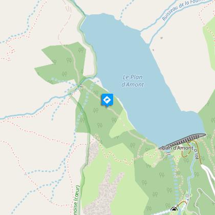
Starting point: Parking dam of Upstream Plan
Elevation start: 2,050 m
Elevation tour: 2511 m
Reference Carto: IGN 3534 OT - The Three Valleys - Modane - Series Top 25 - Scale: 1/25000
Stroller accessibility: no
Type of land: land
Type of trail: trail maintained PNV
Level of the hike: walker, no problem
Markings: yellow panels PNV
Animals
No
Data author
