Alert
Alerts
Type of practice
Walking
Very easy
4h30mn
Presentation
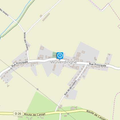
Map
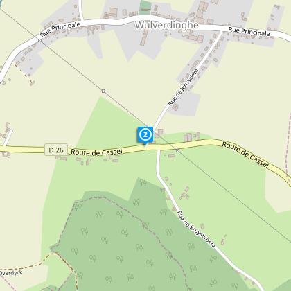
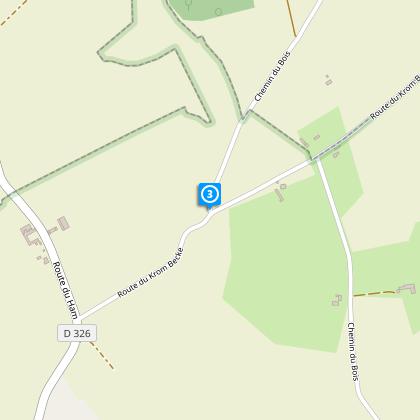
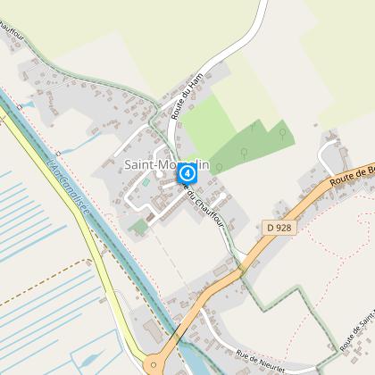
Steps
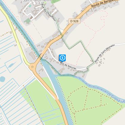
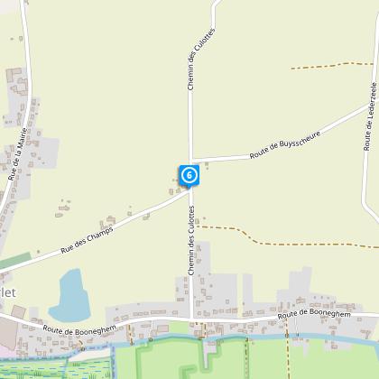
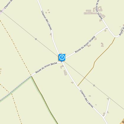
Points of interest
Cirkwi brief's
Ratings and reviews
See around
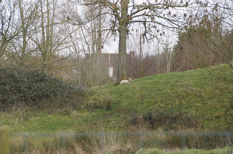
In the footsteps of Saint Martin

Credit : Nord Tourisme
The Cirkwi brief
Explore Mystical Trails: Wulverdinghe's Saint Martin Route
Embarking on the path of Saint Martin in Wulverdinghe offers more than just a walk; it's an exploration through the undulating landscapes between the Flemish maritime plain and the Audomarois marsh. This journey, crafted by Nord Tourisme, unfolds like a story from a bygone era, leading adventurers to a mystical source surrounded by centennial lindens and the venerable statue of Saint Martin. The ambiance is one of reverent tranquility, reinforced by the historical and natural significance of the trail. It's an invitation to witness nature's reclaiming prowess at L'Argilière de l'Aa and to embrace the serenity offered by this carefully preserved terrain.
Key Specs for Saint Martin's Journey
The Saint Martin trail spans approximately 17.94 kilometers, with altitudes ranging from 3 to 70 meters. This balanced trek demands a moderate level of fitness due to its total elevation change of 139 meters, both gaining and losing throughout. The yellow markers are your constant companions, ensuring you never stray from your spiritual and physical journey through history, nature, and culture.
Seasonal Tips for Trail Trekkers
For the ideal journey along the Saint Martin route, consider the seasonal changes in Wulverdinghe. Spring and autumn present vibrant flora and temperate climates, perfect for hiking. Summer offers lush landscapes but requires adequate hydration and protection from the sun. In winter, the path can be more challenging due to mud and cold; sturdy, waterproof footwear is essential. Always check weather forecasts and carry essentials like water, snacks, and a first-aid kit, regardless of the season.
A Glimpse into Wulverdinghe's Rich Tapestry
Wulverdinghe, nestled within the Nord department, stands as a testament to the rich cultural tapestry of the Hauts-de-France region. The area's history, deeply intertwined with Saint Martin's legend, reflects a blend of Flemish influence and French heritage. This trail not only offers a physical passage through picturesque landscapes but also a journey through time, evoking the spirit of the region's past and the steadfastness of its people and traditions.
Weather Patterns of Hauts-de-France
The climate in Wulverdinghe, akin to much of the Hauts-de-France region, is characterized by mild winters and cool summers, typical of a marine west coast climate. The best time to explore the Saint Martin route is from late spring to early autumn, when the weather is most favorable for hiking. During these months, rainfall is relatively less frequent, and temperatures are comfortable for outdoor activities, allowing travelers to fully embrace the natural beauty and historical richness of this unique path.
Automatically generated.
Technical Information
Walking
Difficulty
Very easy
Duration
4h30mn
Dist.
18 km
Type of practice
Walking
Very easy
4h30mn
Show more
Altimetric profile
Starting point
91
Mairie, rue Principale
,
59143
WULVERDINGHE
Lat : 50.7912404921Lng : 2.25790556088
Steps
Data author

Ratings and reviews
To see around