Alert
Alerts
Type of practice
Walking
Medium
3h20mn
Presentation
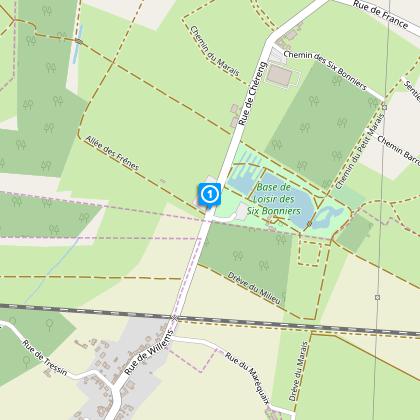
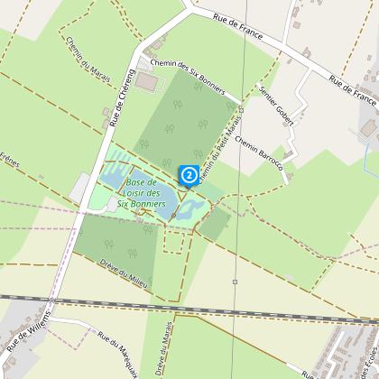
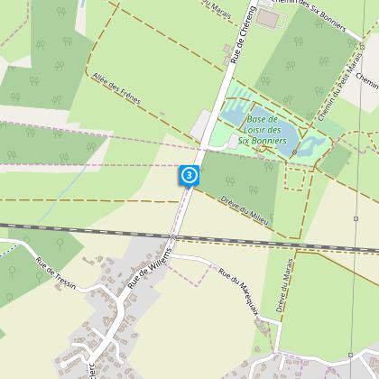
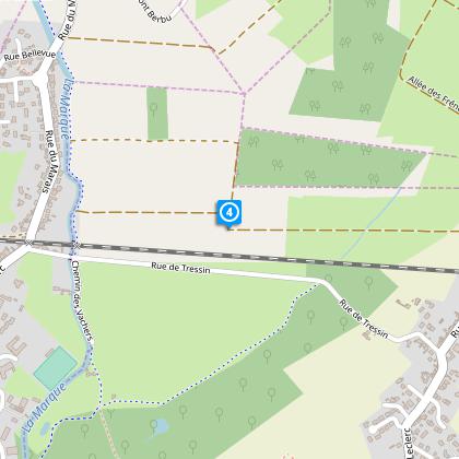
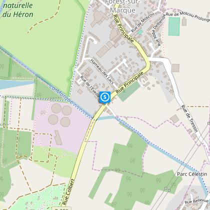
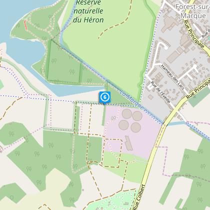
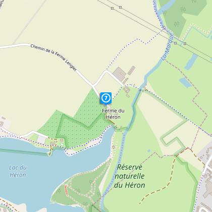
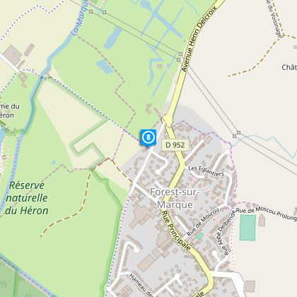
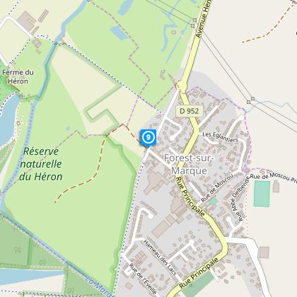
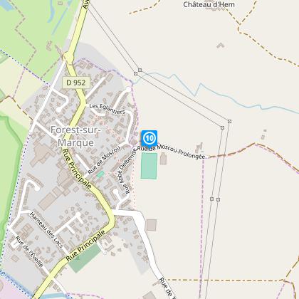
Map
Steps
Points of interest
Cirkwi brief's
Ratings and reviews
See around
The Bonniers Loop

Credit : Nord Tourisme
The Cirkwi brief
Explore the Scenic Boucle des Bonniers: A Journey in Willems
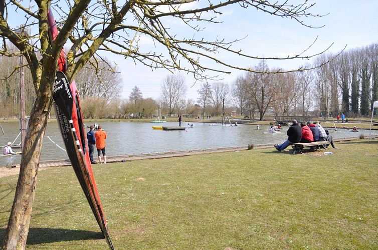
Nestled at the doorstep of the urban sprawl, the Boucle des Bonniers offers an idyllic escape into nature’s embrace. Crafted by Nord Tourisme, this journey meanders through the lush pastures of the Marque Valley, along the serene banks of Lac du Héron, presenting a tableau of beauty and tranquility. Dotted with opportunities for outdoor activities at the Base de Loisirs des 6 Bonniers, from kayaking to archery, the trail is more than a mere hike; it's an adventure woven into the landscape of northern France. It beckons with a blend of pastoral charm and water’s allure, ensuring an immersive experience into the heart of the countryside.
Brief Technical Overview of the Trail
Spanning approximately 10.08 km, the Boucle des Bonniers is characteristically flat, with an altitude variation minutely oscillating between 21 and 26 meters. The total positive elevation gain sums up to a subtle 12 meters, rendering this trail accessible to walkers of all skill levels. The yellow signage adorning the path ensures easy navigation, though caution is advised at railway crossings between points 2 and 3. The route’s technical simplicity, combined with its natural beauty, positions it as an ideal choice for those seeking leisurely exploration.
Seasonal Tips & Safety Advice
As your local guide, I recommend embarking on this journey during spring or autumn to fully appreciate the valley’s flora and fauna. During these seasons, the weather is mild, enhancing your experience. Summer offers vivid greenery but prepare for heat; bring water and sun protection. In winter, the paths can be slippery; wear suitable footwear. Safety first: heed the warning at the railway crossing and follow the yellow trail markers diligently to stay on course. Lastly, the camping area and environment education point enrich the experience, do stop by.
Historical Significance of Willems and Environs
Willems, along with its surroundings, stands as a testament to the rich tapestry of French cultural and historical evolution. From Romanesque paths to remnants of the industrial age along the Marque River, the Boucle des Bonniers pathway is not just a route, but a journey through time. This area, part of the Nord-Pas-de-Calais region, is steeped in a blend of agricultural tradition and industrial revolution legacies, offering hikers not only natural beauty but also a glimpse into the human history that shaped this land.
Regional Climate Insights & Best Times to Visit
Understanding Willems’ Climate for Optimal Visits
The climate in the Willems area, characterized by mild winters and pleasant summers, complements outdoor activities year-round. However, the best times to visit for an enjoyable Boucle des Bonniers experience are late spring and early autumn. During these periods, temperature averages provide a comfortable hiking climate, avoiding summer's sometimes oppressive heat and winter's chill. Rainfall is spread evenly throughout the year, so carrying waterproof gear is advisable, no matter the season.
Automatically generated.
Technical Information
Walking
Difficulty
Medium
Duration
3h20mn
Dist.
10 km
Type of practice
Walking
Medium
3h20mn
Show more
Altimetric profile
Starting point
5
Base des bonniers, parking
,
59780
WILLEMS
Lat : 50.6224228715Lng : 3.21559676889
Steps
Data author

Ratings and reviews
To see around