Alert
Alerts
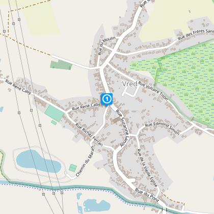
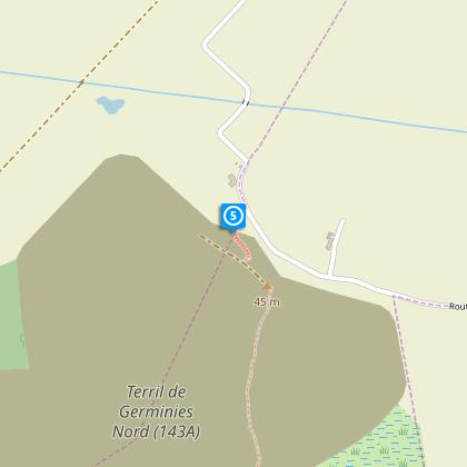
Germignies Circuit


The Cirkwi brief
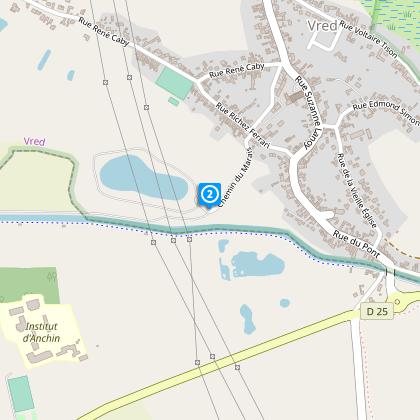
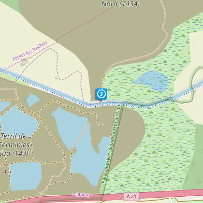
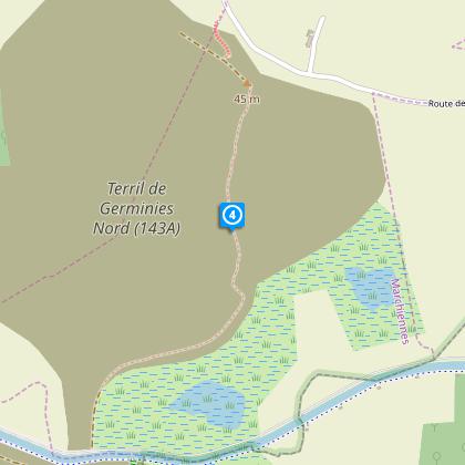
Immerse yourself in an effortless adventure starting from the parking area of the Vred town hall, brought to you by Nord Tourisme. This leisurely yet fascinating route takes you through urban settings, along the Scarpe riverbanks, and meanders through agricultural pathways. The highlight is undoubtedly the Germignies Nord spoil tip, offering a mosaic of steppes, forests, and numerous ponds. Each step unveils a different aspect of Vred’s natural beauty. Remember, Nord Tourisme recommends gearing up for wet conditions and sticking to the marked trails for the best experience.
Key Specs of Germignies Walking Route
This route stretches over 8.12 km, with elevation ranging from 17 to 39 meters, creating a mild positive elevation gain of approximately 27-28 meters. Such specifics make the Germignies circuit accessible to a broad spectrum of hikers, indicating a low to moderate difficulty level. The yellow markers guiding your path ensure a hassle-free navigation through diverse landscapes. Understanding these metrics is pivotal for adequate preparation.
Seasonal Tips for Germignies Adventure
For an optimal experience, it’s crucial to consider the seasons. During the colder months, wear layers to stay warm, especially since the terril area can be windy. Spring and autumn rain transform the landscape, necessitating waterproof footwear. Summertime brings lushness but also mosquitoes near the mares, so insect repellent is a must. Always follow the yellow markers to remain on the safe trails, safeguarding both the environment and your journey.
Vred: Gateway to Northern Charms
Vred, nestled in the Nord department, serves as the starting point of this picturesque journey. This area, rich in history, reflects the industrial past of northern France, especially through the Germignies Nord spoil tip. Now a steppe and woodland habitat, this spoil tip symbolizes the region's resilience and ecological restoration. Vred, though a small town, is a testament to the profound industrial and agricultural narratives that shaped this region, making your trek not just a hike but a walk through history.
Weather Insights for the Vred Region
The climate in Vred is characterized by mild differences between seasons, leaning towards a temperate maritime climate. Rainfall is fairly distributed throughout the year, with a slight increase during autumn months. The best time for embarking on the Germignies circuit is late spring to early autumn, when the weather is warmer, and the paths are less muddy. Adjusting your visit according to these conditions will enhance the enjoyment and safety of your adventure.