Alert
Alerts
Type of practice
Walking
Easy
4h
Presentation
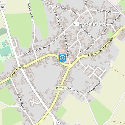
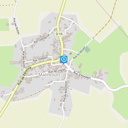
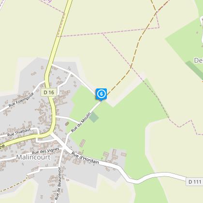
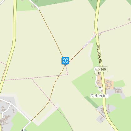
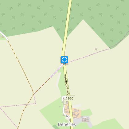
Map
Steps
Cirkwi brief's
Ratings and reviews
See around
From the market halls to the Brunet mill

Credit : Nord Tourisme
The Cirkwi brief
Discover Cambrésis: Scenic Walks and Rich History
Immerse yourself in the unparalleled beauty of Cambrésis with the meticulously crafted walking itinerary by Nord Tourisme. Wander through quaint villages that epitomize the essence of the French agricultural plateau. Along your journey, marvel at the striking contrast of colors painted across the fields, from vibrant yellows to deep greens and rich browns. Each step unveils the area's rich heritage, seen in its grand farms, historic mills, and remnants of the textile industry. Nord Tourisme invites you to this sensory adventure, best experienced amidst the full bloom of crops, where every hue tells a story.
Technical Insight into the Itinerary
Spanning approximately 14 kilometers with an elevation ranging from 111 to 147 meters, the trail solicits a moderate level of fitness due to its minor yet consistent ascents, peaking at a total positive elevation change of 145 meters. The route is marked with yellow signs, ensuring ease of navigation through the picturesque landscapes of Cambrésis. While accessible to walkers of varying experience levels, the trail's length and elevation profile dictate a reasonable degree of preparation and endurance.
Seasonal Tips for Trail Goers
For an optimal experience, I recommend embarking on this journey during the late spring through early autumn. During these seasons, the climate is most favorable, and the full spectrum of colors across the fields can be truly appreciated. It is essential to wear comfortable walking shoes and carry water, especially during the warmer months. Always stay on the marked paths, respect the local flora and fauna, and be mindful of the agricultural activity that shapes the life of Cambrésis. Moreover, early mornings or late afternoons are ideal to avoid the midday sun.
Historical Context of Cambrésis
Cambrésis, nestled in the heart of Northern France, boasts a rich tapestry of history and culture. From the kiosque à musique in Villers-Outréaux, the starting point, to the ancient windmill Brunet, each landmark along this trail whispers tales of the region's past. Once a pivotal area in textile production, the remnants of old mills and farms serve not only as scenic attractions but as living museums, offering insights into the industrious spirit of the Cambrésis people. This itinerary doesn't just traverse fields and villages; it journeys through centuries of human endeavour and natural beauty.
Climate Overview and Best Visiting Times
The region experiences a temperate climate, with mild summers and cool winters, making it pleasantly accessible year-round. However, the prime time to visit would be from May to September, when temperatures are comfortable for walking, and the rainfall is relatively low. This period also coincides with the full bloom of the fields, presenting the landscape in its full glory. Always check the weather forecast before embarking on your journey, as conditions can vary, and being prepared will enhance your experience on this beautiful walking itinerary.
Automatically generated.
Technical Information
Walking
Difficulty
Easy
Duration
4h
Dist.
14 km
Type of practice
Walking
Easy
4h
Show more
Altimetric profile
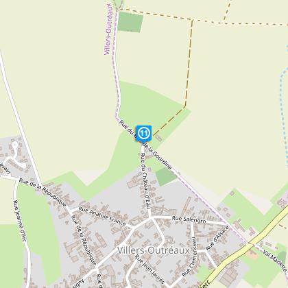
Starting point
1
Kiosque à musique, place du Général de Gaulle
,
59142
VILLERS-OUTREAUX
Lat : 50.03226Lng : 3.29857
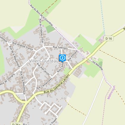
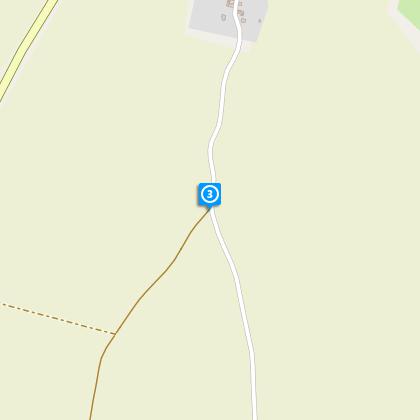
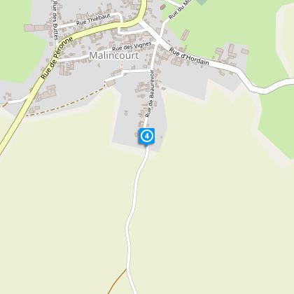
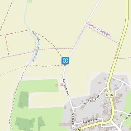
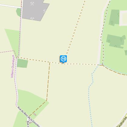
Steps
Data author

Ratings and reviews
To see around