To see around
See more
Open
Close
Show
Show
Show
Show
Show
Show
Show
Show
Show
Show
Show

Oups... It would appear that Cirkwi does not have permission to use your location.

Description
Map
Steps
Cirkwi brief's
Ratings and reviews
See around

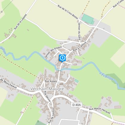
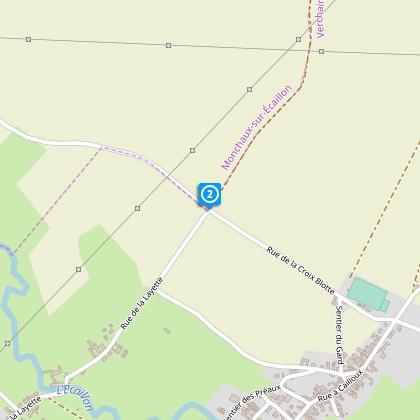
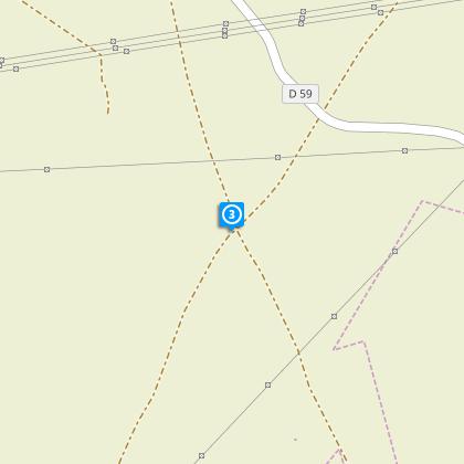
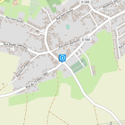
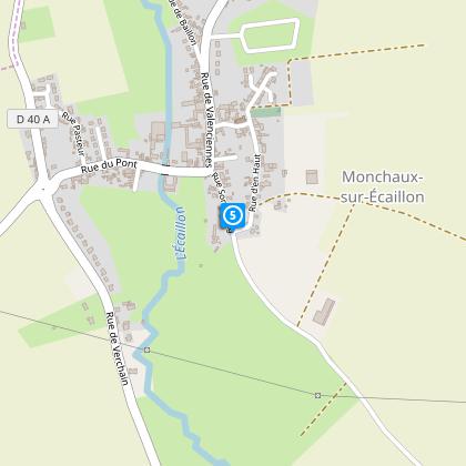
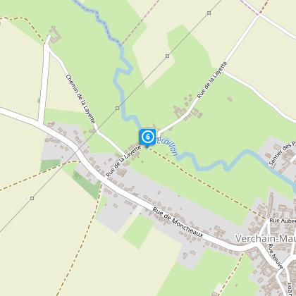
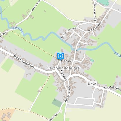
Route of the Mont à Cailloux Circuit

Verchain Maugré circuit du mont à cailloux
Credit : Nord Tourisme

The Cirkwi brief

Discover Verdant Paths: A Journey Through Verchain-Maugré

Embarking on the Circuit du Mont à Cailloux presents an opportunity to immerse oneself in the distinctive charm of Northern France, specifically a stone's throw away from Valenciennes. This journey, crafted by Nord Tourisme, enchants with its route through quintessential villages and picturesque cobbled lanes ensconced in the verdant valley of the Ecaillon. More than just a walk, it’s an exploration of serene landscapes and architectural marvels, inviting wanderers to experience the tranquility of countryside walks where every step uncovers the rustic beauty of this region.


Brief Technical Overview

This 11.2 km trek commences at Rue À Cailloux, ascending to a maximum height of 83 meters, while dipping to the humblest point at 34 meters. The route, marked by yellow signs, boasts a cumulative elevation gain of roughly 108 meters. Such statistics make it a moderately challenging path, ideal for those seeking a blend of scenic beauty and physical exertion. Despite its accessibility for most, the uneven, cobbled pathways demand sturdy footwear for optimum enjoyment.


Seasonal Tips and Safety Guidelines

As your guide, my advice is to undertake this adventure from April to October, when the paths are at their most inviting. During spring, the blooming flora adds a vibrant splash of color, while autumn wraps the landscape in a warm, golden hue. Regardless of the season, ensure you're equipped with appropriate footwear to navigate the varied terrain comfortably. Moreover, always carry water, especially in summer, to stay hydrated and consider a map or GPS device to enrich your exploratory experience.


Historical Significance of the Region

Verchain-Maugré, nestled within the Nord department, is a testament to the rich tapestry of French history and culture. The area, with its villages dotting the Ecaillon valley, offers a glimpse into traditional French rural life. The cobbled paths and historic architecture reflect centuries of history, from Roman times to the present day. This region, therefore, not only offers a physical journey through beautiful landscapes but also a voyage through time, showcasing the enduring spirit and heritage of Northern France.


Climate Insights and Optimal Visits

The region, characterized by a temperate climate, invites visitors to experience distinct seasonal changes. Winters are chilly, while summers are pleasantly mild, making the period from April to October the most favorable for exploration. Rain is a common companion throughout the year, so incorporating waterproof gear in your preparation is wise. This blend of conditions underlines the area's appeal, offering a refreshing and invigorating experience to those who choose to traverse its paths.

Automatically generated.

Technical informations

This circuit was updated on: 15/02/2024
11 km
3 h
max. 83 m
min. 35 m
65 m
Styles : HikingIn the country
Public : Occasional hikersExperienced hikers
Theme : Patrimony

Altimetric profile

Starting point

2-6 2-6 Rue À Cailloux , 59227 VERCHAIN-MAUGRE
Lat : 50.2691538556Lng : 3.47699388067

Steps

image du object
1

Point 1

Dos à la mairie, prenez à droite la direction de Quérénaing. Au calvaire, à la sortie du village, tournez à gauche et longez le terrain de sport. Après une légère montée, sur votre gauche, le point de vue permet de découvrir tout le village niché le long de l'Ecaillon.

- Nord Tourisme -
Consulter
image du object
2

Point 2

Vous arrivez au carrefour dit "du Gros Arbre". Empruntez le chemin de droite. Vous suivez le chemin de la Cavée, écrin de verdure et de fraîcheur. Ce chemin vous conduit au Mont-de-Cailloux - altitude 82 m. Descendez,  puis allez tout droit  jusqu'à l'intersection suivante et rejoignez le chemin pavé dit "de Quérénaing à Maing".

- Nord Tourisme -
Consulter
image du object
3

Point 3

Tournez à gauche. Ce chemin pavé - RD 59 - est emprunté par la célèbre course cycliste "Paris-Roubaix". Face à vous, une des plus importantes centrales sous-station qui alimente la voie ferrée "Calais-Bâle". Descendez vers le village de Maing.

- Nord Tourisme -
Consulter
image du object
4

Point 4

Après le cimetière, empruntez à gauche la route - RD 88 - en direction de Monchaux-sur-Ecaillon. Traversez le village sur la rue principale. Au pied de l'église, une ancienne forge rappelle la période où les agriculteurs utilisaient de nombreux chevaux.

- Nord Tourisme -
Consulter
image du object
5

Point 5

A la sortie du village, continuez tout droit sur le chemin qui vous amène à nouveau au carrefour "du Gros Arbre". Sur votre droite, la rivière "l'Ecaillon" serpente au travers des pâturages. Au carrefour, descendez à droite jusqu'au hameau de "la Layette" - ancien moulin. Après le pont sur l'Ecaillon, qui est l'une des rivières de notre région à ne pas avoir d'usine le long de son cours, ce qui lui confère de garder une certaine pureté, empruntez le chemin à gauche.

- Nord Tourisme -
Consulter
image du object
6

Point 6

Suivez le chemin et rejoignez Verchain-Maugré.

- Nord Tourisme -
Consulter
image du object
7

Point 7

A l'entrée du village, empruntez à gauche la rue Aubert et dirigez-vous vers l'église. Remarquez l'ancienne ferme et son portier surmonté d'un colombier. A l'église Saint-Pierre - construite en grès - prenez à gauche et retrouvez la place du 8 mai 1945.

- Nord Tourisme -
Consulter

Ratings and reviews

To see around
See more
Open
Close
Show
Show
Show
Show
Show
Show
Show
Show
Show
Show
Show