Alert
Alerts
Promenade des Chapelles


IGN cards


Description
After a walk through the surrounding countryside passing, in particular, the Champ des Bœufs where remarkable species such as the small rhinanthus or the centaury are found, you will arrive at the chapel of Notre-Dame de Haurt . This walk will take you to the calvary at the Croix Gloriette.
In the surroundings of Bâtis d'Haurt, the forests and paths are dotted with rare and protected plants: orchids, gentians, but also sweet wood, spikenard, oregano and wild thyme. Deer, foxes and even stoats live in this flora.
Numerous breeding birds, passerines and butterflies accompany you to the chapel Notre-Dame de Haurt. Built in the 18th century from clinker and sandstone, it consists of a two-bay nave lit by low keyed windows. During your visit, admire the axial pore, crowned by an oval oculus, also called a bull's eye. The chapel's slate roof has a charming bell tower at the front.
At La Bouteille, discover the vast panorama of the Ardennes promontory to the south-south-west and, closer to home, of the limestone plain covered with cereal crops.
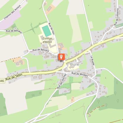
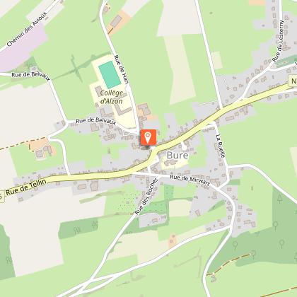
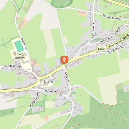
The old castle of Bure, Saint-Lambert church and the village's fountains, described in the previous route (the Chemin de Bruyères), are also part of the municipality's remarkable heritage.
This signposted walk is included on the Tellin walking map, available for €6.50 at the Tellin Tourist Office and at the Maison du Tourisme de la Forêt de Saint-Hubert.
Signposting: yellow rectangular triangle
Technical Information
Altimetric profile
Starting point
Points of interest


Additional information
Signalétique (EN)
All - Right-angled triangle - Yellow
Data author
