Alert
Alerts
Cycling trip: Col des Glières

Description
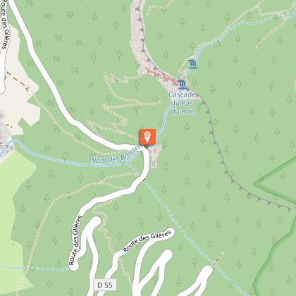
This climb takes you into the very heart of the Glières Mountains, close to the monument to the Resistance. After overcoming the extremely steep slopes just before the Col du Collet, the 5% gradient below the Col des Glières will feel like a breeze.
A historic climb and highlights of the next Tour de France on stage 10, Annecy - Le Grand-Bornand.
Stony path on the plateau to reach the monument to the Resistance.
Technical Information
Altimetric profile
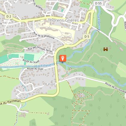
Starting point
Points of interest

Date and time
- From 01/04/2026 to 31/10/2026
- From 01/04/2027 to 31/10/2027
Additional information
Updated by
Conseil Départemental de la Haute-Savoie - 21/04/2026
hautesavoiemontblanc-tourisme.com/
Report a problem
Open period
From 01/04 to 31/10.
Depending on the weather.
Contact
Email : info@lac-annecy.com
Website : https://www.lac-annecy.com
Location complements
From Annecy: avenue de Brogny / pont de Brogny D1203 / le Plot / D2. Freeway A41 exit 17 Annecy nord. Nearby train station: Annecy.
Data author
