Alert
Alerts
Traversée du Sapenay - Cycling route


IGN cards


Description
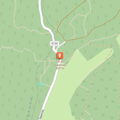
This route crosses the hills and passes of the Albanais region. The Col du Sapenay is the steepest, offering beautiful views of Lac du Bourget and a fine return via the Val-de-Fier gorges. You won't regret the trip!
Points of interest
Quiet roads for this rather sporty pass, with some very fine descents over the Rhône valley.
Cycling tip
The pass can be climbed very early in the season due to its low altitude.
Clockwise direction.
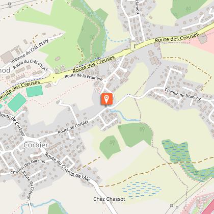
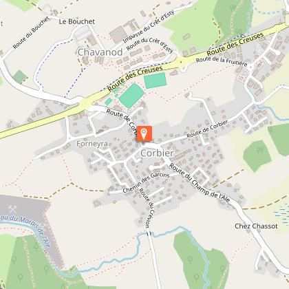
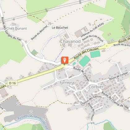
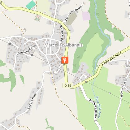
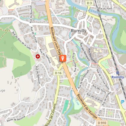
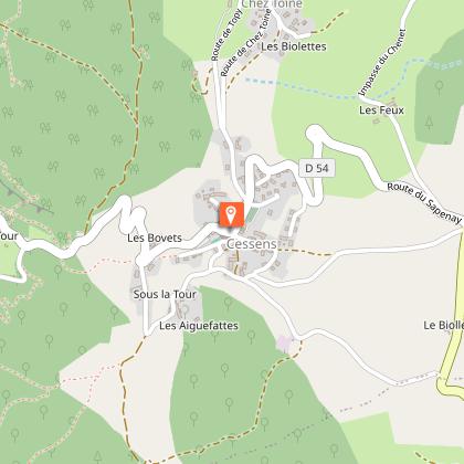
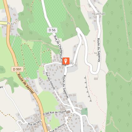
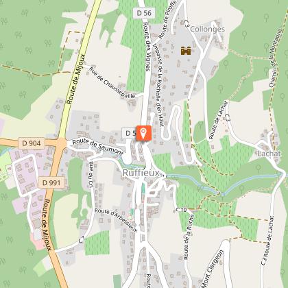
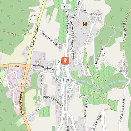
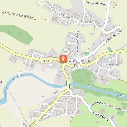
Landmarks and connections: Rumilly (common route from Annecy with Boucle du Fier n°15); Cessens; Chautagne communes in common with the other two crossings of the triptych; Val-de-Fier (start of common route with Boucle du Fier n°15 at the exit from the gorges). TER station: Rumilly (allowing you to skip the first 20 km of flat terrain).
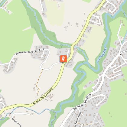
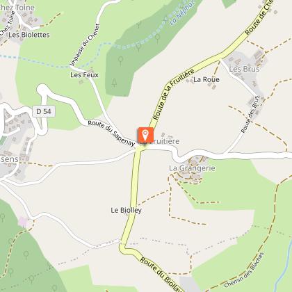
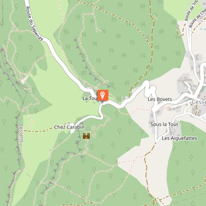
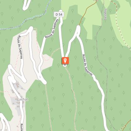
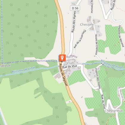
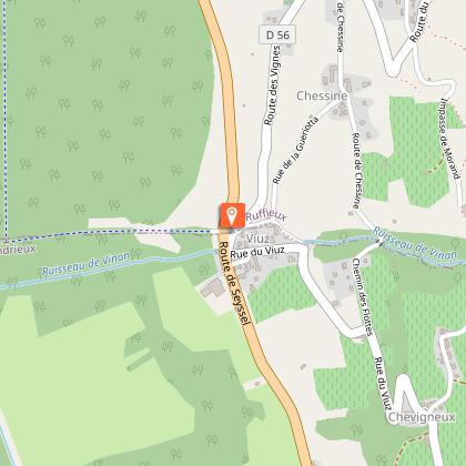
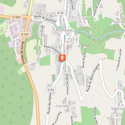
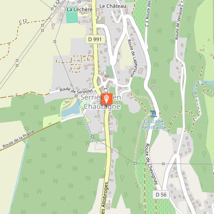
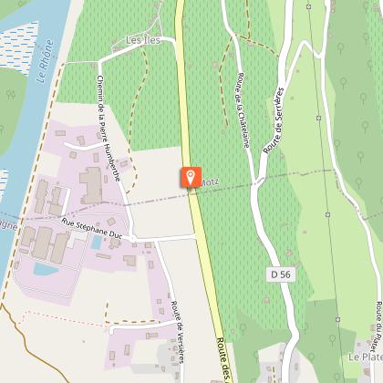
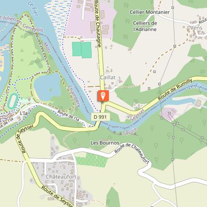
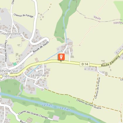
Description : after the common section of the Route des Creuses (RD16) to Rumilly, Traversée de la Chambotte n°12 and Traversée du Sapenay continue along the same RD16, skirting the Néphaz stream. The road, very shady and not excessively steep, takes on the appearance of a gorge in places. Then the landscape suddenly opens up before crossing the Cessens dairy. At this point, we part company with Traversée de la Chambotte no. 12 and climb steadily towards Le Sapenay via the RD54. Of the three Traversées, this is in fact the steepest in its final twists and turns, after crossing the village of Cessens. However, before the tipping point, the road lounges a little in the middle of the meadows, where you can enjoy a picnic break. A short distance from the road, a refreshment bar offers a magnificent panorama of the Chautagne region. The descent, with its dozen or so hairpins, is fast and narrow in its forested section. You join the Traversée de la Chambotte route (no. 12) at Expilly, then the Clergeon route (no. 14) at Ruffieux, before reaching the flat Chautagne road (RD991). After the "hump" at Motz (pronounced "Mô"), the route follows the deep gorges of the Val-de-Fier for 5 km, along the torrent that rises in the Aravis mountains and passes near Annecy and Rumilly before flowing into the Rhône. The return to Annecy is on the RD14, in common with the Boucle du Fier n°15, which is found at the exit of the gorges.
Technical Information
Altimetric profile
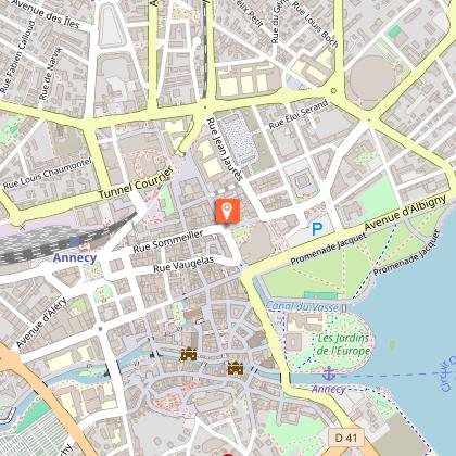
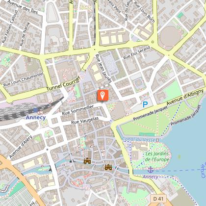
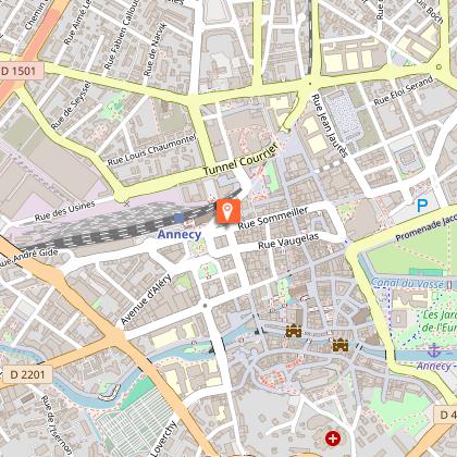
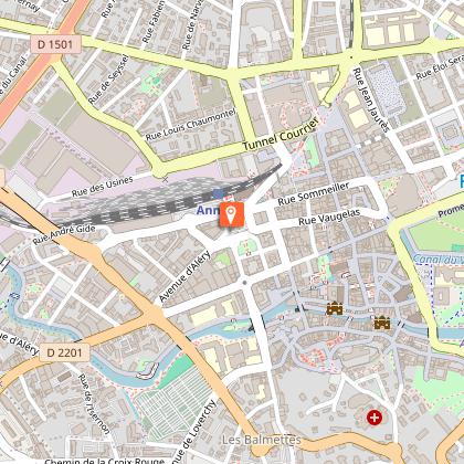
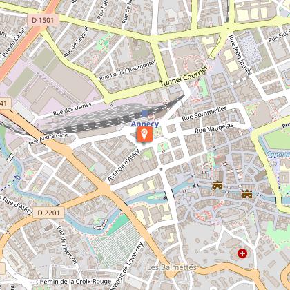
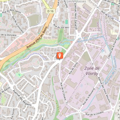
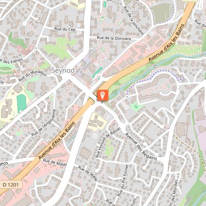
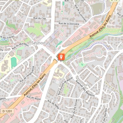
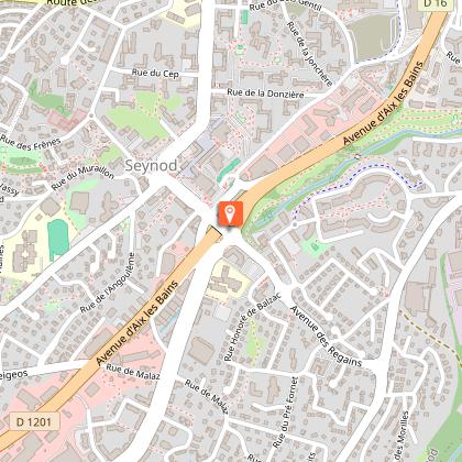
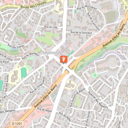
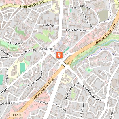
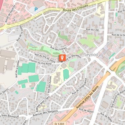
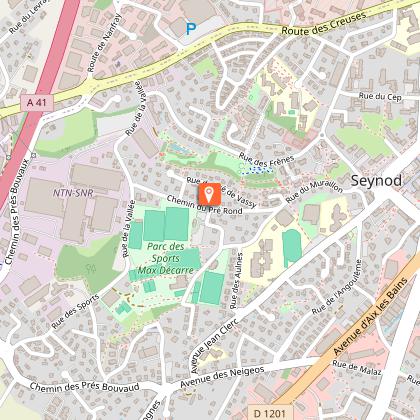
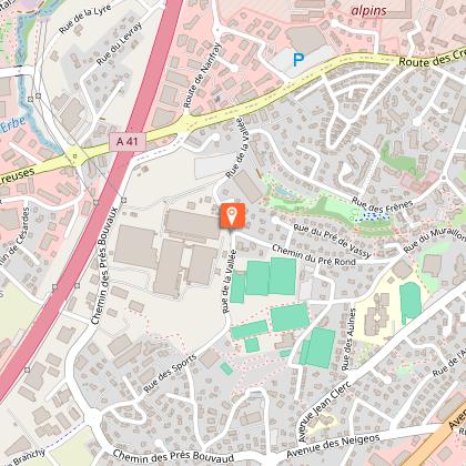
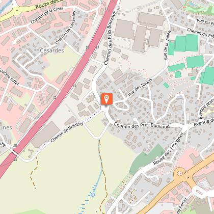
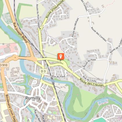
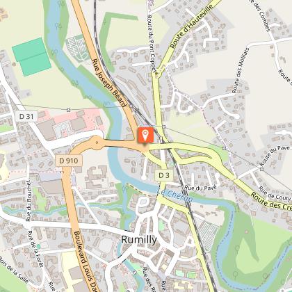
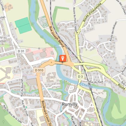
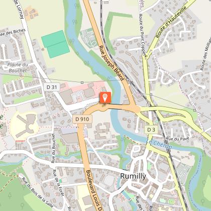
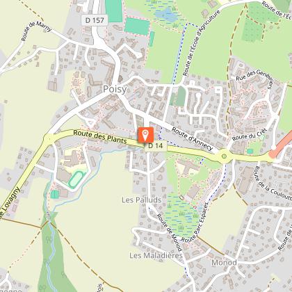
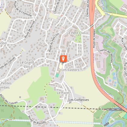
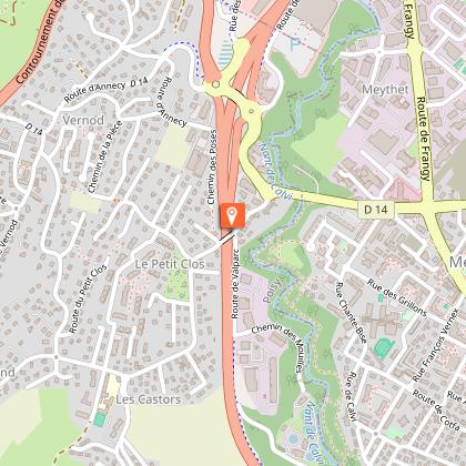
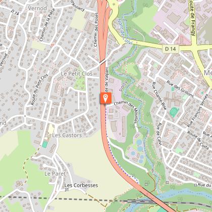
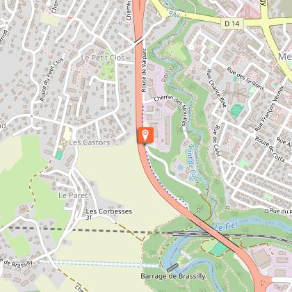
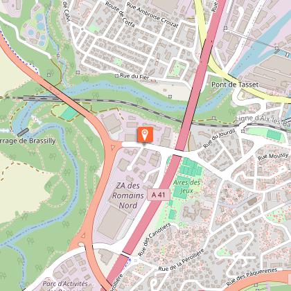
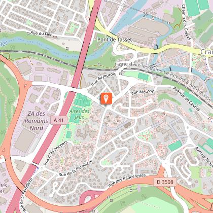
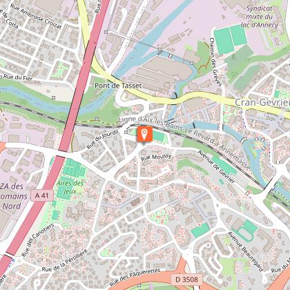
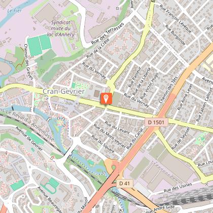
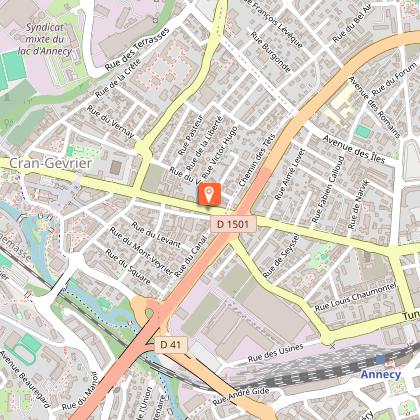
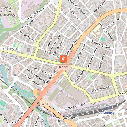
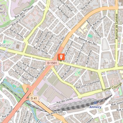
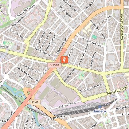
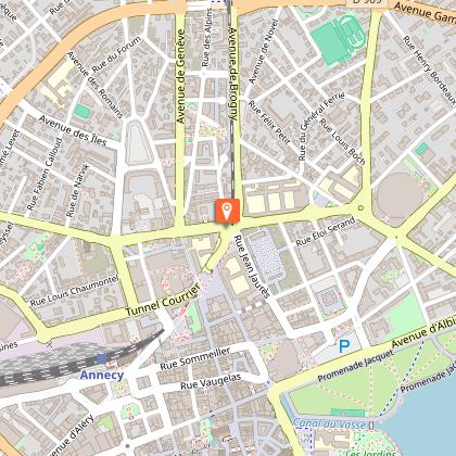
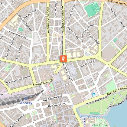
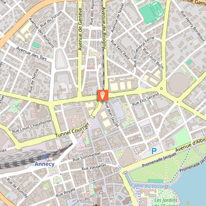
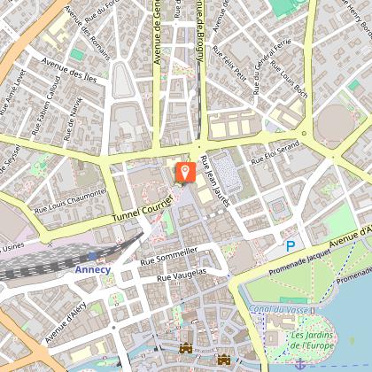
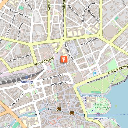
Starting point
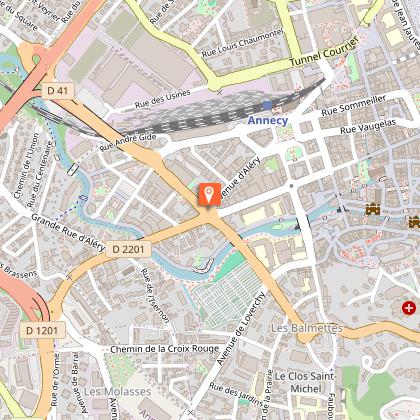
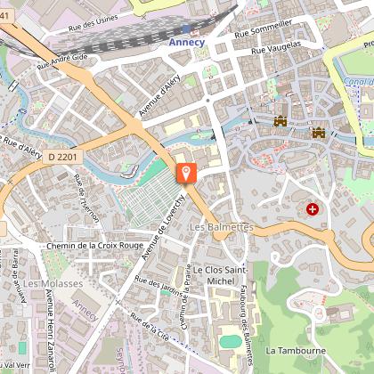
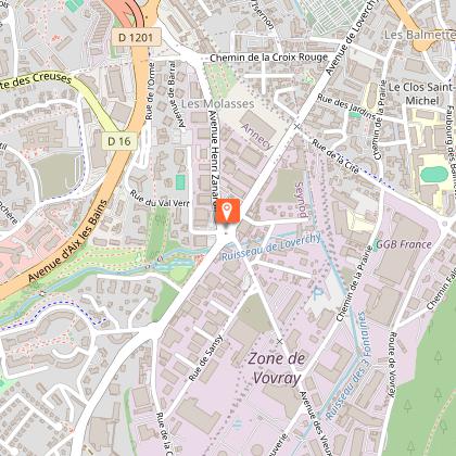
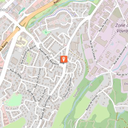
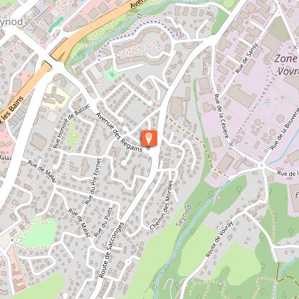
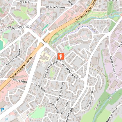
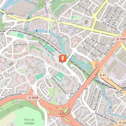
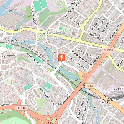
Steps


Additional information
Updated by
Conseil Départemental de la Haute-Savoie - 29/11/2025
www.hautesavoiexperience.fr
Report a problem
Open period
All year round.
Subject to favorable snow and weather conditions.
Contact
Phone : 04 50 45 00 33
Email : info@lac-annecy.com
Website : https://www.lac-annecy.com
Facebook : https://www.facebook.com/lacannecy.tourisme
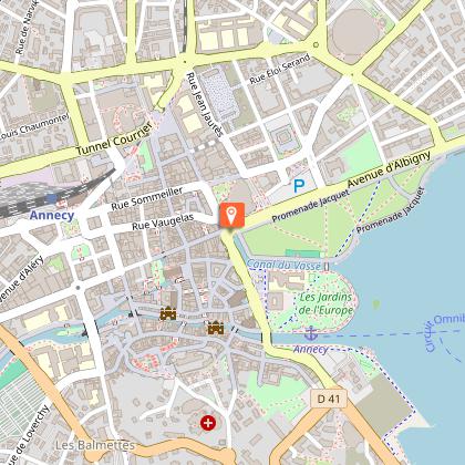
Location complements
Car Park: Préfecture
Data author
