Alert
Alerts
Circuit vtt n°2 noir - la croisette

IGN cards


Description
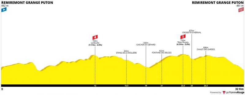
MTB track n°4 Black - 32 km - Difference in altitude 1000 m
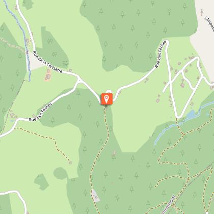
Start coordinates: N 48 00'19.3" E 006 35'01.3"
Very good physical and technical level.
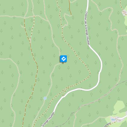
Loop circuit in the Hérival forest starting from the Grange Puton.
Start on the Chemin du Corroy. Then turn left to take two small technical paths.
Start the ascent towards La Beuille, between a track, a small road and finally a very steep path.
After the summit, cross the Tête des Sarazins by beautiful forest paths, pass by the Étang de la Mollière, then by the road to the Cascade du Géhard, jewel of the Hérival massif. Connection by road and track to the Fontaine des Belges. Arrival at the summit at the Tête des Mozets (732 m) and its small paths lined with bilberry trees. Quick descent to the Croisette d'Hérival. Passage through the Chalet des Gardes. Connection by the Crête path, then a quick and fun descent by the Conservateur path and beautiful small paths.
Technical Information
Altimetric profile
Starting point
Points of interest


Additional information
Producteur de la donnée
Ces informations sont issues de la plateforme SITLOR - Système d’Information Touristique - Lorraine
Elles sont synchronisées dans le cadre du partenariat entre Cirkwi, l’Agence régionale du Tourisme Grand Est et les membres du comité technique de Sitlor.
Contact
Email : webremiremontvtt@gmail.com
Data author
