Alert
Alerts
Type of practice
Racing biking
Medium
4h
Cycling
Medium
4h
Presentation
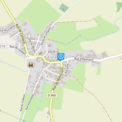
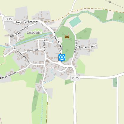
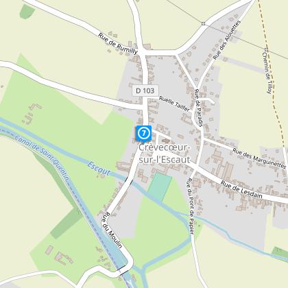
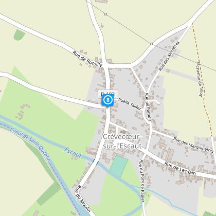
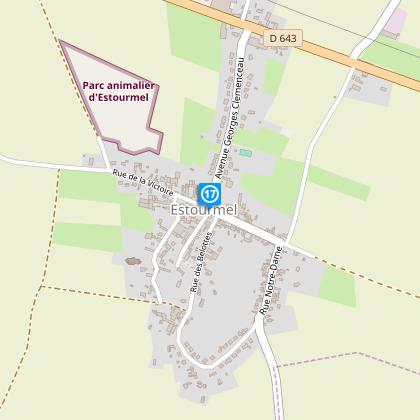
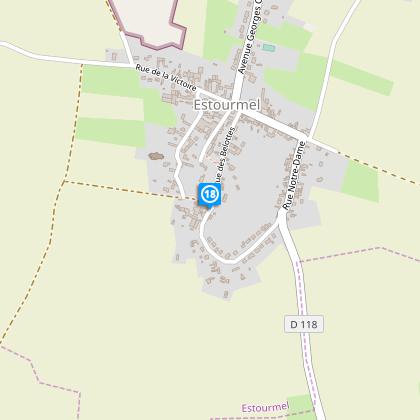
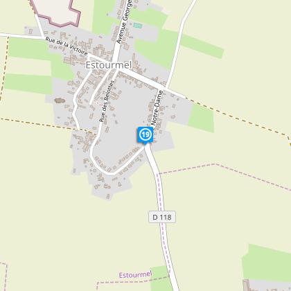
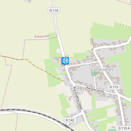
Map
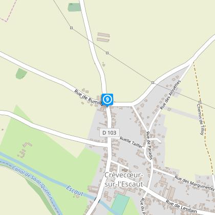
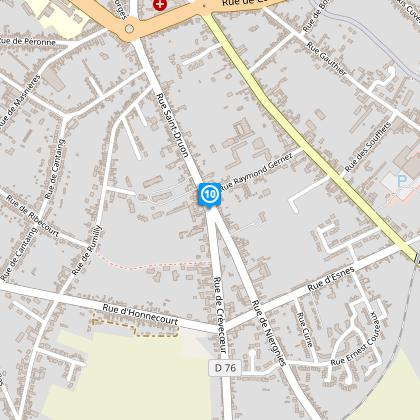
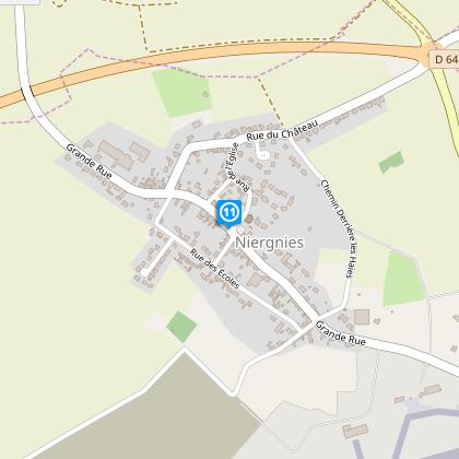
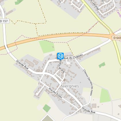
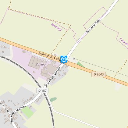
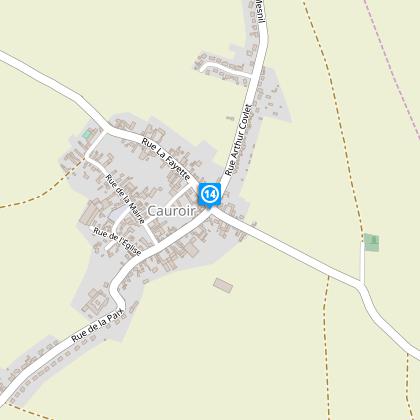
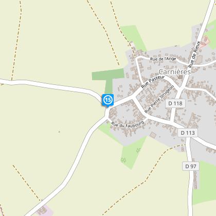
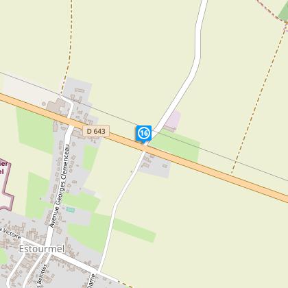
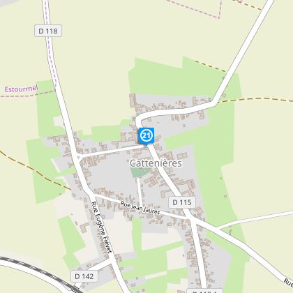
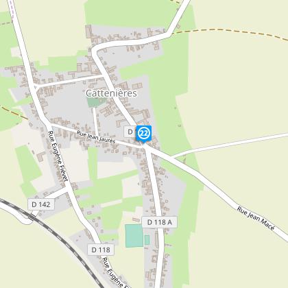
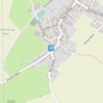
Steps
Cirkwi brief's
Ratings and reviews
See around
THE MULQUINIERS: PANORAMAS OF CAMBRESIS


Credit : Nord Tourisme
The Cirkwi brief
Discover Cambrésis: Epic Cycling Through History and Textiles
Embark on a journey where the pedals under your feet rhythmically trace the rich tapestry of Cambrésis' past and present. Offered by Nord Tourisme, this cycling adventure is not just a route, but a narrative woven through lush agricultural landscapes, punctuated by historical villages and grand farmsteads where chalk and clay have shaped the habitats. As you cycle, the essence of the textile industry, once thriving under the skilled hands of Mulquiniers, entwines with the realm of chateaus and the echoes of wars past, inviting you to not just ride but to immerse in a tale of resilience and transformation. A vibe of adventure and nostalgia guides you through Cambrésis – an itinerary for those seeking to pedal through layers of time.
Tech Ride Insights
Spanning approximately 38.95 kilometers, with elevation points oscillating between 54 meters at its lowest and peaking at 126 meters, the route challenges with a cumulative positive elevation gain tightly ranged between 335-334 meters. This indicates a varied terrain, requiring good physical condition and offering seasoned cyclists an engaging mix of climbs and descents. Noteworthy is the pathway's composition, largely based on departmental roads, hinting at a journey both scenic and demanding. Technical preparation and an adept bike are prerequisites for embracing this ride fully.
Seasonal Tips for Riders
Cycling through Cambrésis is a year-round possibility, but with considerations. Spring brings vivid landscapes but also unpredictable weather; carry layers and waterproof gear. Summer promises the best light for enjoying the architectural and natural sights, yet hydration becomes paramount. Autumn's palette is spectacular, though shorter days mean lights are essential. Winter challenges with cold and possibly slick roads; high-visibility attire and caution in shaded, potentially icy areas are crucial. Always plan for local weather updates and ensure your bike is season-ready to enjoy this journey safely.
Cultural Tapestry of Cambrésis
Cambrésis, framed by its historical significance and cultural heritage, stands as a testament to human resilience and ingenuity. It's a land where the architectural blend from medieval fortresses to seventeenth-century manors narrates stories of feudal times, while the scars and memorials of the Great War whisper tales of sorrow and valor. This territory, once a thriving textile hub powered by the Mulquiniers, encapsulates over centuries of evolution in rural living, warfare, and economic shifts, thus offering cyclists not just a scenic route but a passage through time.
Climate Guide for Cyclists
Cambrésis: Weather Patterns for the Ideal Cycle
Cambrésis enjoys a temperate maritime climate, marked by moderate rainfall throughout the year. Winters can be cool, with average temperatures hovering around 3°C, making layered clothing a necessity for those braving the routes in colder months. The summer months, especially between June and August, offer the most conducive conditions for cycling, with average temperatures around 20°C. Despite this, riders should always be prepared for rain, a common guest in this region. Optimal cycling conditions are typically found in late spring and early fall, where pleasant temperatures and fewer rain showers make for a delightful biking experience.
Automatically generated.
Technical Information
Racing biking
Difficulty
Medium
Duration
4h
Dist.
39 km
Type of practice
Racing biking
Medium
4h
Cycling
Medium
4h
Show more
Altimetric profile
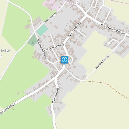
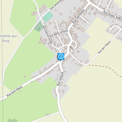
Starting point
8
Place de l'Eglise
,
59157
FONTAINE-AU-PIRE
Lat : 50.1283942Lng : 3.37477
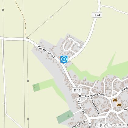
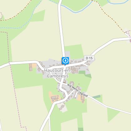
Steps
Data author

Ratings and reviews
To see around