Alert
Alerts
Type of practice
Racing biking
Easy
3h
Cycling
Easy
3h
Presentation
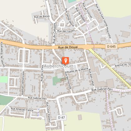
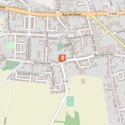
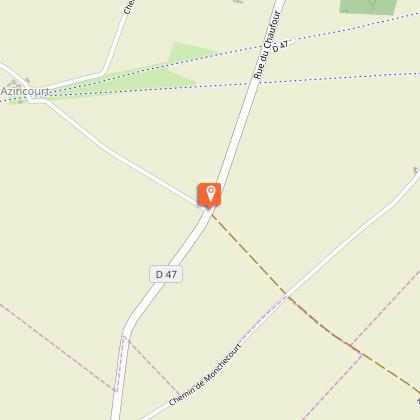
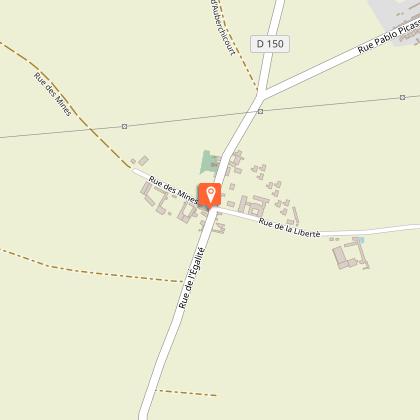
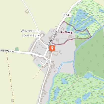
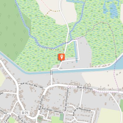
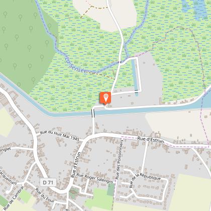
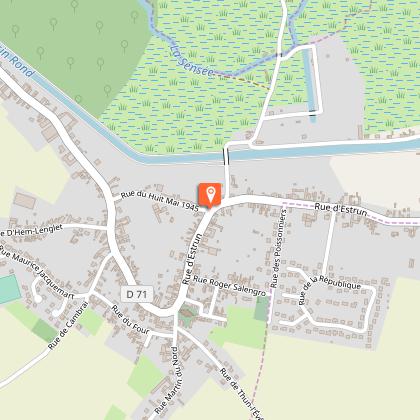
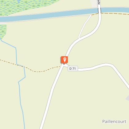
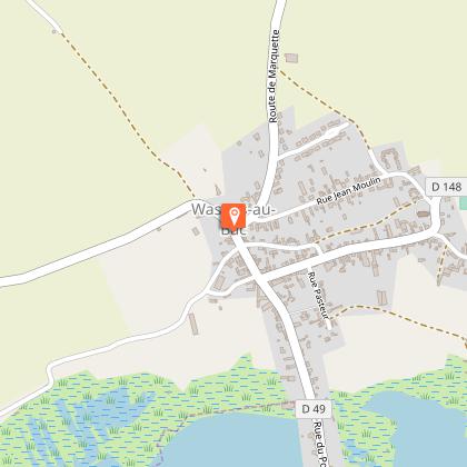
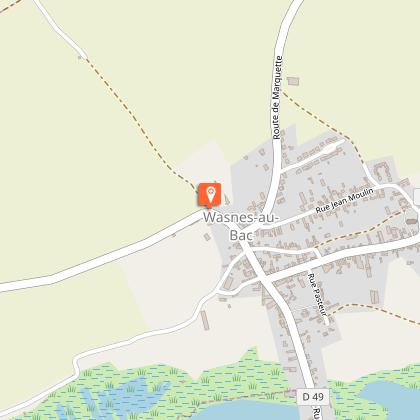
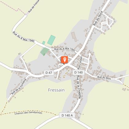
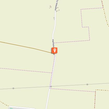
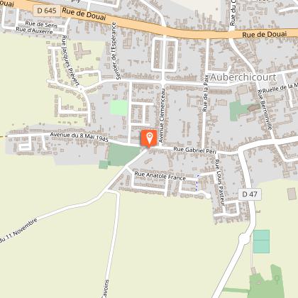
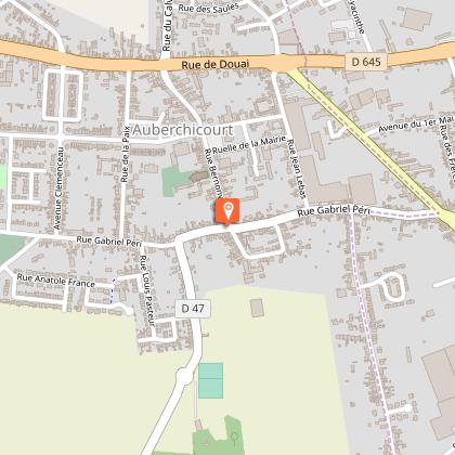
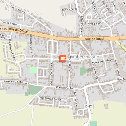
Map
Steps
Points of interest
Cirkwi brief's
Ratings and reviews
See around
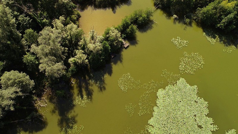
OSTREVANT - Land of marshes and lakes


Credit : Nord Tourisme
The Cirkwi brief
Discover The Heart of Auberrchicourt on Two Wheels
Nord Tourisme has curated a splendid journey that beckons bicycle enthusiasts and leisure cyclists alike. Traversing the lush valley of the Sensée and the expansive agricultural plains, the itinerary promises a ride full of captivating landscapes and serene routes. While designed with the casual cyclist in mind, it offers moments of tranquility and adventure alike. Imagine pedaling through an idyllic setting, where every turn unveils a new vista or a quaint village, making each moment on this route a cherished memory.
Brief Technical Snapshot
The journey spans approximatively 36.5 kilometers, with an elevation ranging between 30 to 82 meters. Cyclists should anticipate a total positive elevation change close to 230 meters, representing a fairly relaxed incline over the course of the route. This undemanding gradient makes the trip suitable for most fitness levels, offering an inviting challenge to beginners without overwhelming them. The minimal elevation gain and loss are conducive for a pleasant ride, allowing cyclists to focus more on enjoying the scenery than on exerting themselves.
Seasonal Tips and Safety Advice
As a local guide, I recommend embarking on this journey during spring or early fall to fully appreciate the verdant landscapes and comfortable temperatures. Ensure your bicycle is in good condition, especially when cycling along the RD 47, where traffic awareness is crucial. Always wear a helmet, carry water, and apply sunscreen. If visiting during summer, start early to evade the midday heat. Winter rides are possible; however, be prepared for colder temperatures and shorter days by dressing warmly and using lights.
Cultural Riches and Historical Heritage
Auberrchicourt, nestled within the Nord department, stands as a testament to the rich tapestry that is French history and culture. This itinerary not only offers a physical journey but also a voyage through time. The region's agricultural roots permeate the landscape, telling tales of generations that have cultivated these lands. The presence of the Sensée valley adds a layer of natural beauty and history, illustrating the harmonious relationship between man and nature that has evolved over centuries. This route is more than just a path; it's a narrative of resilience, tradition, and beauty.
Weather Patterns and Optimal Visit Times
The region enjoys a temperate climate, with mild summers and cool winters. Precipitation is fairly evenly distributed throughout the year, making it possible to bike this route in most seasons. However, the best period for cycling is between late spring and early autumn, when the weather is generally warm and sunny, maximizing the enjoyment of the scenic landscapes. Be mindful of the occasional rainy day and always prepare accordingly, to ensure a comfortable and pleasant ride.
Automatically generated.
Technical Information
Racing biking
Difficulty
Easy
Duration
3h
Dist.
37 km
Type of practice
Racing biking
Easy
3h
Cycling
Easy
3h
Show more
Altimetric profile
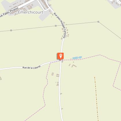
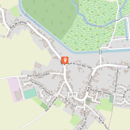
Starting point
44
Place de la Mairie
,
59165
AUBERCHICOURT
Lat : 50.331978Lng : 3.234007
Steps
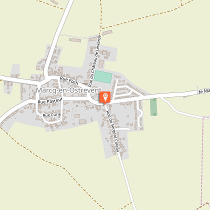
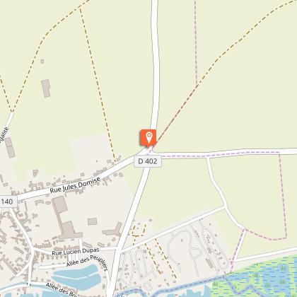
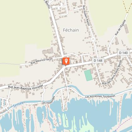
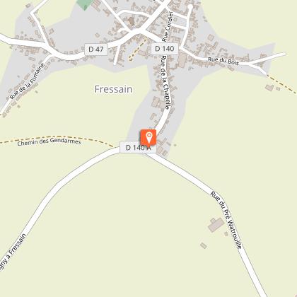
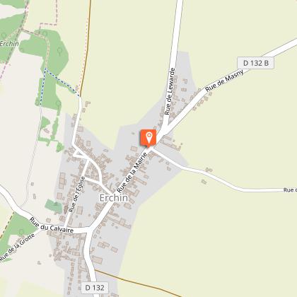
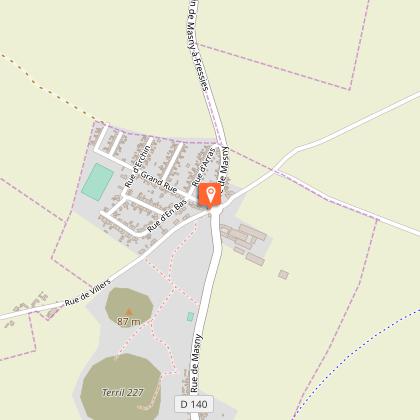
Points of interest

Data author

Ratings and reviews
To see around