Alert
Alerts
Randonnée - la vallée de la semouse


Description
Access: From Remiremont, go to Plombières-les-Bains. Take direction Xertigny/Bellefontaine to get to Ruaux.
Parking: Park opposite the campsite in the centre.
Distance: 12 km / Duration: 3 h 30 / Difference in height: 200m / Marking: red ring.
1) Start opposite the camp site in the centre of Ruaux. Go up the main street and turn left at rue de la poste.
2) After the last houses, go down a grassy path surrounded by meadows.
3) Cross the hamlet of Côte Levée on a tarmac road.
4) Leave the road by a dirt track on the right just at the edge of a small beech wood. Go down to a crossroads and continue along Rue du Crime, which is in fact a peaceful forest track covered in humus (ruins with cellars testify to an ancient habitat).
5) At the hamlet of Clairefontaine, go into the forest on the left by a logging track which takes opposite house n°405. A sign indicates a shortcut back to Ruaux by the road. Continue straight on to the modest remains of the Château des Fées (the fairies would never have finished the job). The track can be very muddy in bad weather. Reach the left bank of the Semouse by a path that leads to a ford. A narrow, little-used track leads up this left bank.
6) A round trip to the left offers a view of the hamlet of Semouse with the Château des maîtres de forges and its chapel. Continue up the hill by the old tacot railway replaced by a forest track (a narrow-gauge tacot linked the factories of Plombières and Semouse). After a series of bends, follow a path parallel to the tacot track. Take the D20 for a moment in the direction of Plombières.
7) 400m after the crossroads with the D20 bis, take the first path on the right. Cross a tarmac road, walk another 500m before turning right towards the village of Ruaux.
Technical Information
Altimetric profile
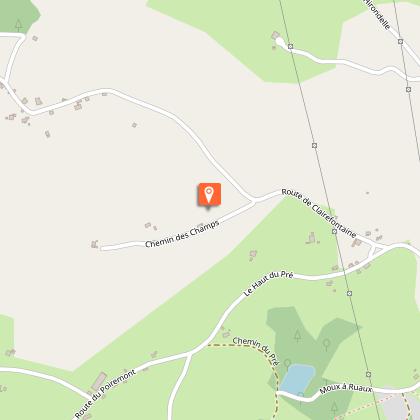
Starting point
Points of interest

Additional information
Producteur de la donnée
Ces informations sont issues de la plateforme SITLOR - Système d’Information Touristique - Lorraine
Elles sont synchronisées dans le cadre du partenariat entre Cirkwi, l’Agence régionale du Tourisme Grand Est et les membres du comité technique de Sitlor.
Contact
Tel : 03 29 66 01 30
Email : plombieres@otrp.fr
Data author
