Alert
Alerts
Randonnée - le dropt par le haut-de-l'a


IGN cards


Description
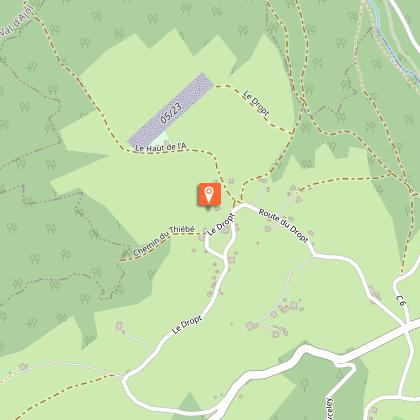
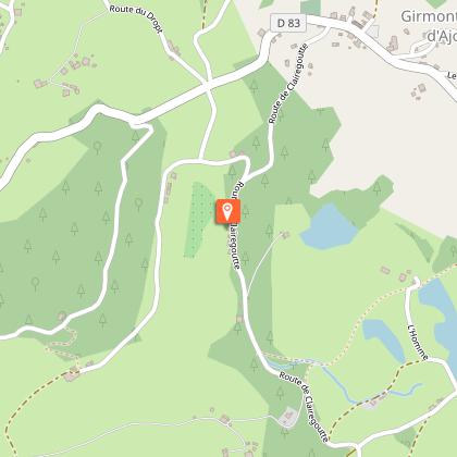
Access: From Remiremont, take the Val-d'Ajol road and after 2 km, turn left towards Girmont-Val-d'Ajol. Parking: Park in the car park opposite the Chalot.
Distance: 5 km / Duration: 2 h / Difference in height: 150 m / Marking: blue ring.
1) Start from the tourist information point in the Chalot. Walk along the wall of the cemetery downstream to the next crossroads called the Croix de Mission.
2) Just before the Mission Cross (which dates from 1875) go down the small road leading to the right to the Cascade du Géhard. Turn left well before the wood by a path lined with vines and willows. Leave the first path and its various variants which lead to the bottom of the valley (if in doubt, always turn left). The path progresses slightly uphill.
3) Cross a large gravel path and go up through a narrower passage towards the Haut de l'A, the highest point of this forest. Follow the ridge path for a while before changing course and veering sharply to the left towards the microlight runway.
4) Descend below the microlight hangar on a path that soon leads to a small tarmac road. By the right-hand road, it is possible to make a small unmarked loop which goes round the hamlet (local products) with typical farms in the region and a beautiful calvary (allow 15 minutes).
5) Cross the crossroads for a road that leads back to the village by the right-hand road and the mission cross (another cross exists just before the farm above a slope).
Technical Information
Altimetric profile
Starting point
Points of interest

Additional information
Producteur de la donnée
Ces informations sont issues de la plateforme SITLOR - Système d’Information Touristique - Lorraine
Elles sont synchronisées dans le cadre du partenariat entre Cirkwi, l’Agence régionale du Tourisme Grand Est et les membres du comité technique de Sitlor.
Contact
Tel : 03 29 62 23 70
Email : remiremont@otrp.fr
Data author
