Alert
Alerts
Randonnée - l'étang de huchère et montiroche

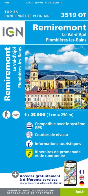
IGN cards


Description
Access: On the Remiremont bypass, exit at Moulin, then follow the signs for Raon-aux-Bois. In Ranfaing, turn right before the old school.
Parking: Park on the left along the path after the tarmac road.
Distance: 4.5 km / Duration: 1 hour 45 minutes / Difference in height: 200 m / Marking: green ring.
From the carriage road in the continuation of the rue de Montiroche, park and head in the direction of the pond. Go through the barrier and at the sign, start to go around the Huchère pond on the right, following the green ring.
Pass the small bridge at the end of the pond, walk half way across and from there turn right onto a forest track which climbs. Stay on the path, keep going up until you reach the road.
At the top, on the road, turn left. Go along the car park, past the Rond Caillou, and take the signposted carriageway on the left.
Continue on this path until you reach an intersection of three paths. Take the one in the middle which is signposted "Montiroche - Site d'escalade" on a wooden sign. Follow the signs to the next signpost at Montiroche. It is possible to go there and back for a viewpoint (be careful, the climb is not easy) and a picnic table.
Then, start the descent from the post on the right, still following the green ring markings. The descent starts on a path, then becomes a track.
A little further down the path, a left turn for a path that is not very visible: look out for the markings! Continue on this path which leads back to the carriage road at the starting point. Be careful on the descent, however, as some places are quite steep and rocky.
Technical Information
Altimetric profile
Starting point
Points of interest


Additional information
Producteur de la donnée
Ces informations sont issues de la plateforme SITLOR - Système d’Information Touristique - Lorraine
Elles sont synchronisées dans le cadre du partenariat entre Cirkwi, l’Agence régionale du Tourisme Grand Est et les membres du comité technique de Sitlor.
Contact
Tel : 03 29 62 23 70
Email : remiremont@otrp.fr
Site web : www.tourisme-remiremont-plombieres.com
Data author
