Alert
Alerts
Aigoual gravel
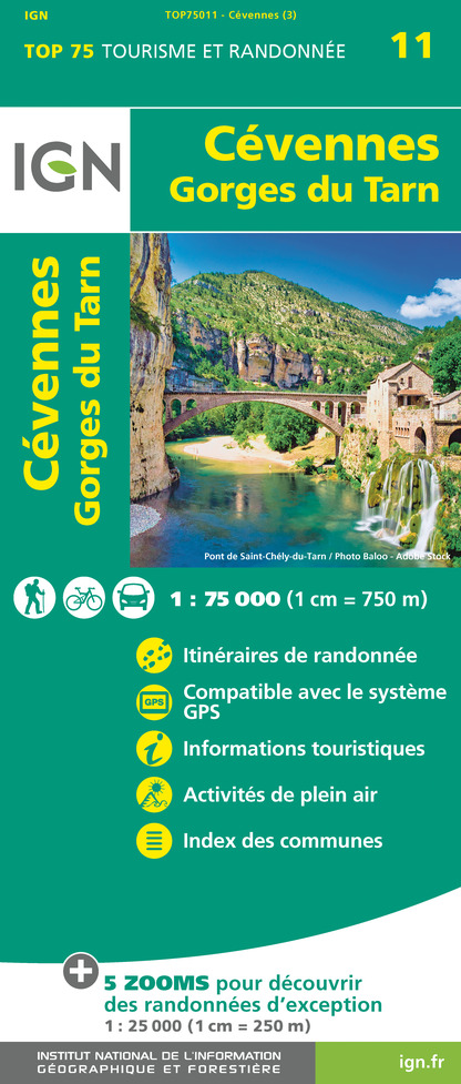
IGN cards


Description
Le Vigan - Serres - Salagosse - Cascades d'Orgon - L'Espérou - col de Faubel - St Sauveur Camprieu - col des Rhodes - Dourbies - Caucalan - col de l'homme mort - col du Minier l'Espérou - Col de la Luzette - Mandagout
Col des Mourèzes - Le Vigan
A tough Gravel route with several passes above 1000m and magnificent views.
From Le Vigan head for Col du Minier on the D48, then follow signs for Aulas as far as Les Plans, then turn left towards Mars and continue on the D272b to Salagosse. Before the hamlet, take the winding forest road to the Col de la Broue (altitude 1102m), which you will cross to take the route des cascades d'orgon (D548) - you are entering the heart of the Cévennes National Park - towards the Col de Montals and l'Espérou. At the roundabout, head for Dourbies for 300m and turn right towards Montlau and Col de Faubel (D986a), then Camprieu. As you enter Camprieu, turn left onto the D710 (towards Le Térondel campsite) as far as Col des Rhodes - you'll enjoy a fine view of Trèves - then onto the D151 towards Dourbies - continue as far as Mazet and take the D151c towards Prunaret and Col de l'Homme Mort (1345 m). This road becomes a forest road and takes you to the Col du Minier. Follow the D48n to l'Espérou, which you cross to find the D548a on your right, then the D329 to the Col de la Luzette and Mandagout. A magnificent view of the Pic St Loup and the Mediterranean awaits you in the distance, as the D329 twists and turns. Return to Le Vigan via the Col des Mourèzes (D170).
ATTENTION the D548 (route des cascades d'Orgon) and the D329 (route du col de la Luzette) are closed in winter!
Technical Information
Altimetric profile
Starting point
Additional information
Updated by
Office de Tourisme Sud Cévennes - 29/11/2025
sudcevennes.com/
Report a problem
Type of land
Hard coating (tar, cement, flooring)
Data author
