Alert
Alerts
The Pont de Téloncin loop
Description
This loop going up the small valley dug by the Thiers river leads you to the nice stone bridge of Téloncin. Most of the path is in a fresh atmosphere during summer.
Technical Information
Altimetric profile
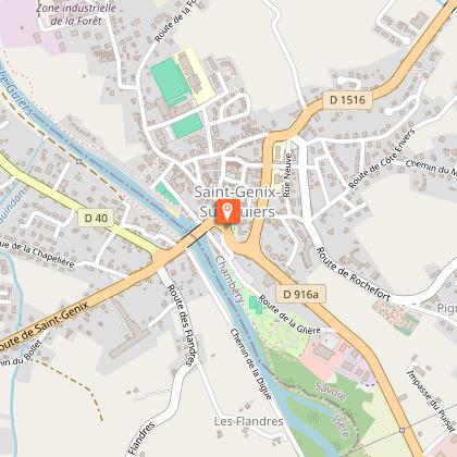
Starting point
Points of interest

Additional information
Updated by
Communauté de Communes Val Guiers - 17/02/2026
Report a problem
Environments
Village centre
Village 2 km away
Open period
All year round daily.
Contact
Phone : 04 76 31 63 16
Topo guides and map references
Topo guides references :
A map collecting hiking treks in Val guiers (10 rambles) and a folder composed of 38 treks in l'Avant Pays Savoyard are available in tourist offices for 2 euros and 14.50 euros.
Type of land
Ground
Tricky passages
Be careful when hiking since the path crosses private properties. Please respect fences and keep your dogs on a lead.
Animals
Yes
Data author
