Alert
Alerts
7-day Tour du Taillefer


Description
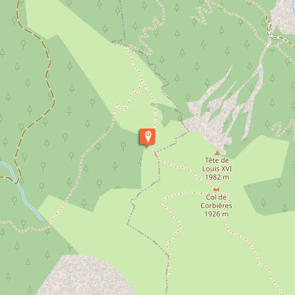
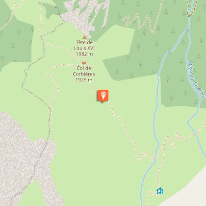
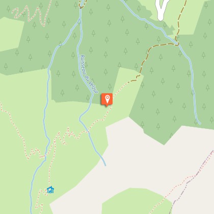
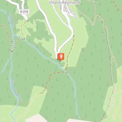
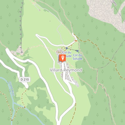
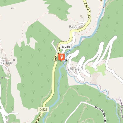
The Tour du Taillefer is a large-scale, accessible Alpine trail. A trip outside time, winding through rural valleys and mountain villages, from waterfalls to lakes, from cols to high plateaux.The tour du Taillefer has 7 stages (with the option of just 6).It starts from Alpe du Grand Serre (a departure from the village of Valbonnais is also possible). You start off by following the Roizonne valley to the charming little Alpine village of Rif Bruyant. On the second day, you explore the Roizonne valley and its villages, but also cross the first col of the trip, the Col de Plan Collet (1,356 m), which opens up a view over the Dévoluy and Les Ecrins, and takes you to the Valbonnais valley.On the 3rd and 4th days, you walk along the Bonne and Malsanne valleys, through villages, hamlets, fields and woods, and rise slowly up to Col d'Ornon (1,360 m).From stage 5, you leave the bottom of the valley for the high mountains, via the Col de Corbières (1,926 m), and the small mountain village of Villard-Reymond (second highest village in France).The next day, you go down towards the Lignarre torrent, which you cross at the village of La Palud, before going up towards the hamlet of Ornon and tackling the ascent leading to the Taillefer refuge (2,056 m). You begin to explore these magnificent landscapes and the special atmosphere of the lake plateau, which you will fully experience the next day for your last stage, which takes you back to the resort of Alpe du Grand Serre.
Technical Information
Altimetric profile
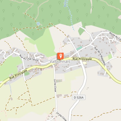
Starting point
Steps
Additional information
Departure
Alpe du Grand Serre
Arrival
Alpe du Grand Serre
Ambiance
A very unusual summit in the Massif des Ecrins, the Taillefer provides whoever comes close to it with the memory of a very special atmosphere. To get there, you follow ancestral paths, moving between charming villages and exceptional panoramas. And we arrive at last: right in the middle of the lakes and peat bogs, the high Taillefer plateau is unveiled and stands out as the high point of the trip.
Access
From Grenoble, head for Gap-Sisteron along the A480 motorway. Take exit n°8 "Stations de l'Oisans" and follow the D1091 to Bourg d'Oisans. Take the Alpe du Grand Serre exit and follow the D114. From Bourg d'Oisans, follow the D1091 towards Grenoble. In Séchilienne, take the D113, then the D114 to the station.Traffic news: 08 92 69 19 77
Advised parking
Lake car park
Public transport
En train, gare SNCF de Grenoble à 40 kilomètreswww.voyages-sncf.comen bus, ligne régulière l'Alpe du Grand Serre - La Mure n°4310Renseignements Transisère au 0820 08 38 38 ou www.transisère.fr
Advice
Some sections of the route, especially on the Taillefer Plateau, may be snowed under early in the season - ask for information before setting off.Some parts of the route are on the road, so be careful.Consult the specific recommendations for each stage.
Herd protection dogs
In mountain pastures, protection dogs are there to protect the herds from predators (wolves, etc.).When I hike I adapt my behavior by going around the herd and pausing for the dog to identify me.Find out more about the actions to adopt with the article "Protection dogs: a context and actions to adopt".Tell us about your meeting by answering this survey.
