Alert
Alerts
4-day Tour du Taillefer
IGN cards


Description
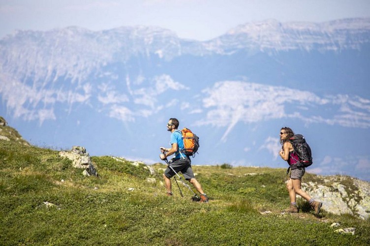
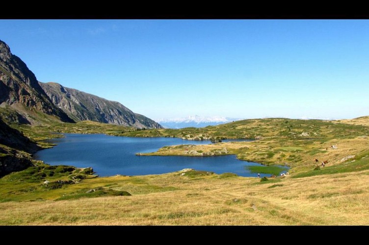
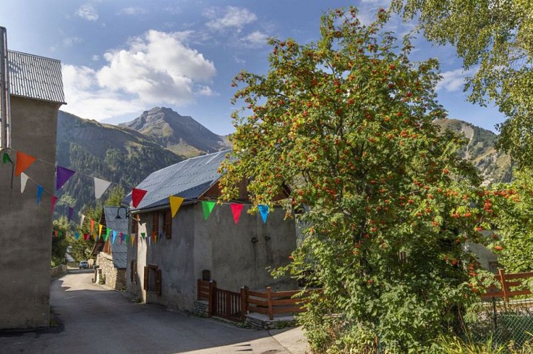
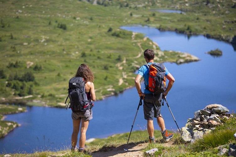
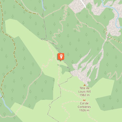
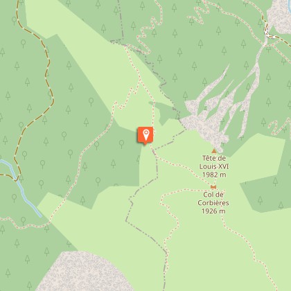
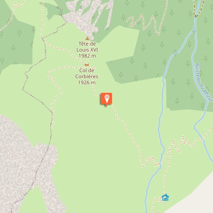
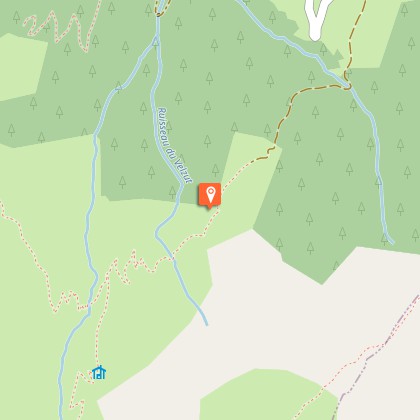
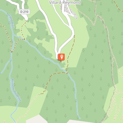
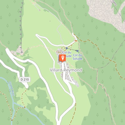
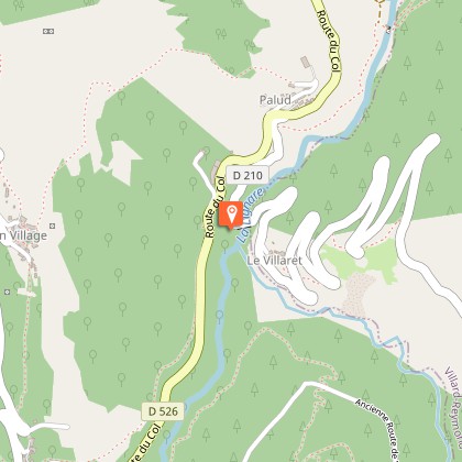
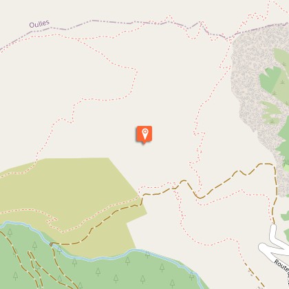
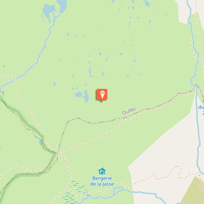
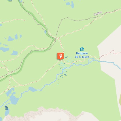
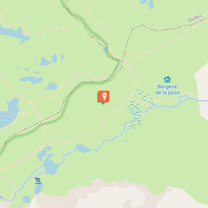
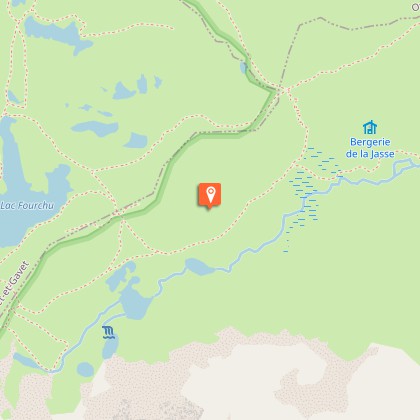
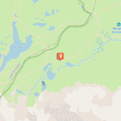
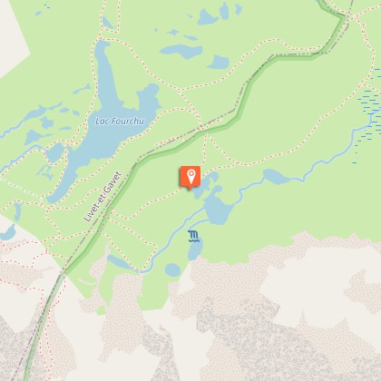
This Alpine trail is an invitation to experience the summits, to daydream in the streets of high-altitude villages, to ascend the high mountain passes and to walk across the Taillefer plateau, with its unique and untamed atmosphere. The trip last four days. A real change of scenery!We begin by going upwards and savouring the high mountains, via the Col de Corbières (1926 m), and the little mountain village of Villard-Reymond (the second highest village in France).The next day, you go down towards the Lignarre torrent, crossing it near the village of La Palud, before going up towards the hamlet of Ornon and tackling the ascent that will take you to the Taillefer refuge (2056 m).You now begin to explore the magnificent landscapes and the special atmosphere of the lake plateau, which you will fully experience the next day for your last stage, taking you back to the resort of Alpe du Grand Serre.And it’s not finished! From Alpe du Grand Serre, you still need to go up to Plancol, to admire the view over the Ecrins and Le Grand Armet. Then, during the descent, you pass through a few dizzying sections and return to the starting point: the Col d'Ornon.
Technical Information
Altimetric profile
Starting point
Steps
Additional information
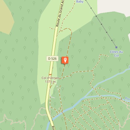
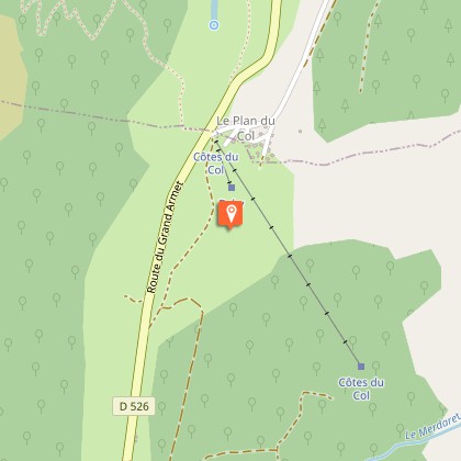
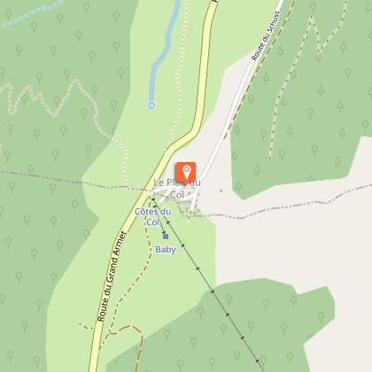
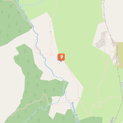
Departure
Col d'Ornon
Arrival
Col d'Ornon
Ambiance
You leave one civilisation for another: the civilisation of the mountain dwellers. Meet people, share daily lives that are very different from our own, and explore wild nooks and crannies with exceptional natural riches. It’s all there.
Access
- From Bourg d'Oisans, head for Grenoble along the D1091, then turn left onto the D526 as far as Col d'Ornon- From Grenoble, head for Bourg d'Oisans along the D1091, passing Vizille and Rioupéroux, then, a few hundred metres before Bourg d'Oisans, turn right into the D526 and go as far as Col d'Ornon.- From Entraigues, head for Le Périer along the D526 and go up to Col d'Ornon, towards Bourg d'Oisans
Advised parking
Col d'Ornon car park
Public transport
Gare routière de Grenoble : 04 76 87 90 31Transisère : 0820 08 38 38 / www.transisere.fr/les lignes 3000 & 3030 circulent entre Grenoble et Bourg d'Oisans.
Advice
Ask about the opening dates for accommodation.Ask about snow conditions on the mountain passes early in the season.Be careful in the descent from Plancol to Col d’Ornon - some very high sections and sections with cables.
Herd protection dogs
In mountain pastures, protection dogs are there to protect the herds from predators (wolves, etc.).When I hike I adapt my behavior by going around the herd and pausing for the dog to identify me.Find out more about the actions to adopt with the article "Protection dogs: a context and actions to adopt".Tell us about your meeting by answering this survey.
