Alert
Alerts
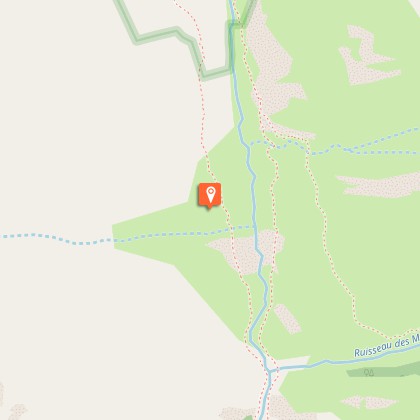
Lavey Refuge, Muande Valley


Description
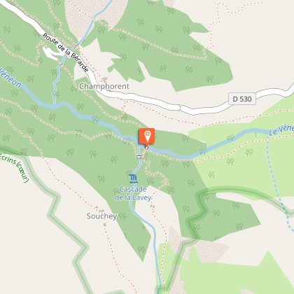
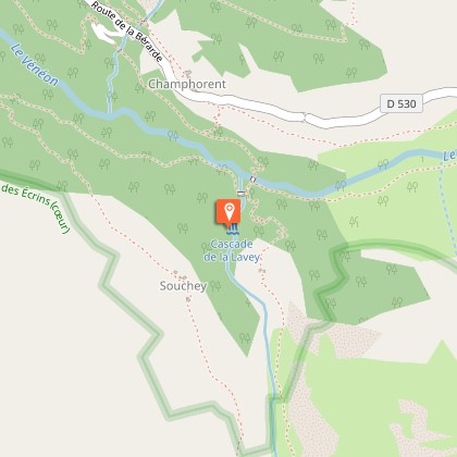
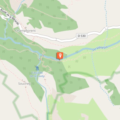
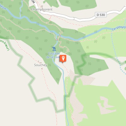
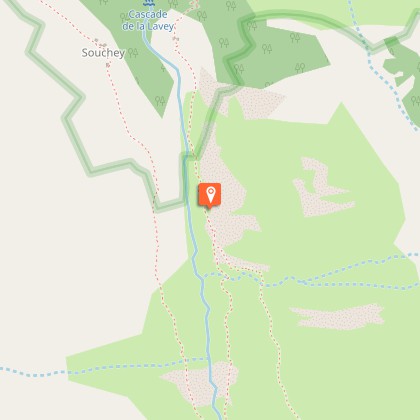
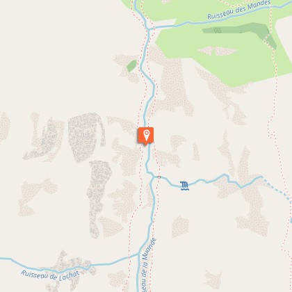
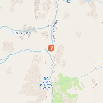
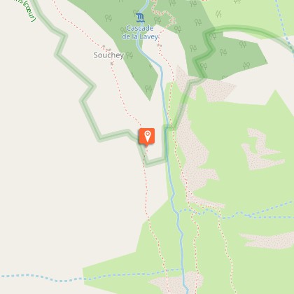
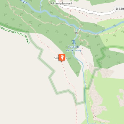
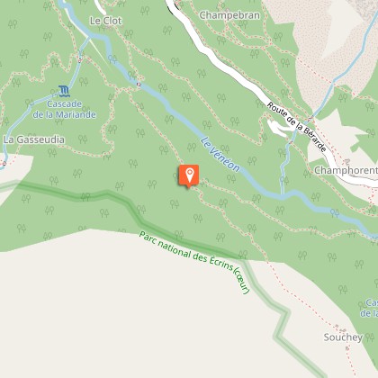
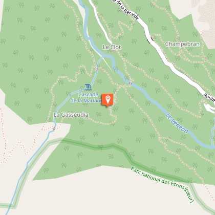
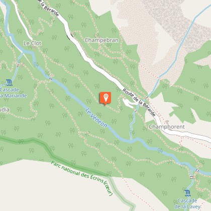
An accessible hike along La Muande. The path leads to the Lavey refuge, the starting point up to the glaciers.From the car park, take the path marked "Vallon de la Lavey" near the signs marking the Ecrins National Park entrance.Walk below the village as far as the River Vénéon, then cross the magnificent stone bridge over the torrent (remember to close the barrier behind you). With the Lavey waterfall to your left, take the winding path leading up to the Raya chalets.Continue along the right bank of the Muande torrent as far as the new arched stone bridge. The route continues along the left bank as far as the Lavey refuge. The way back is through the villages of Le Souchey and Le Clot (in dry weather): 50 m before the stone bridge as you come down from the refuge, stay on the left bank of the Muande torrent. The path rises slightly before arriving at the village of Le Souchey. Then go down towards the Vénéon and Le Clot, and then cross a large wooden footbridge over the Vénéon. Go up the path and, just before the village of Le Clot, take the path leading to the Champhorent car park.
Technical Information
Altimetric profile
Starting point
Steps
Additional information
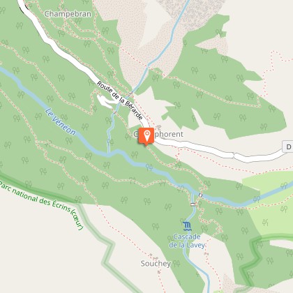
Departure
Champhorent car park
Arrival
Lavey refuge
Ambiance
The Vénéon valley contains several smaller valleys, such as the Lavey valley, which is one of the most prestigious. It opens the way towards such famous summits as Les Rouies, La Tête des Fétoules, L’Aiguille de l'Olan and the Pointe Maximin corridor.
Access
From the RD 1091 Bourg d'Oisans-Col du Lautaret take the RD530 towards Venosc, Saint Christophe en Oisans, La Bérarde. Pass St Christophe (church, cemetery), continue for another 2.5km as far as Champhorent. Park at the car park marked "départ de la Lavey".
Advised parking
Just before the village of Champhorent, car park on the right,marked “Départ de la Lavey”
Public transport
Itinisère bus line 3040 stops at Champhorent.
Advice
The circuit has some steep sections and is slippery in wet weather. Keep an eye on children in the exposed sections.
Herd protection dogs
In mountain pastures, protection dogs are there to protect the herds from predators (wolves, etc.).When I hike I adapt my behavior by going around the herd and pausing for the dog to identify me.Find out more about the actions to adopt with the article "Protection dogs: a context and actions to adopt".Tell us about your meeting by answering this survey.
Is in the midst of the park
The national park is an unrestricted natural area but subjected to regulations which must be known by all visitors.
