Alert
Alerts
3-day Tour of the Emparis Plateau

IGN cards


Description
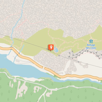
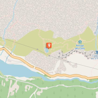
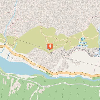
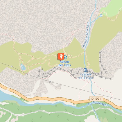
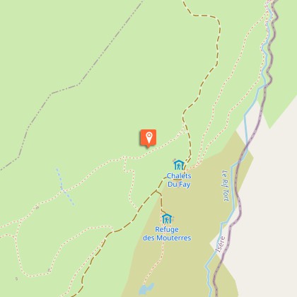
During this 3-day circuit, you can see and admire in the distance the summits of Les Ecrins. A unique part of the mountain range, the Emparis plateau boasts one of the finest views you can enjoy in these mountains. La Meije, the Girose glacier, Le Râteau - names that are the stuff of dreams. But that's not all - such a great panorama is not enough. Mountain pastures, high-altitude villages and panoramas bring diversity to the journey.The first, fairly short stage invites hikers to stroll from villages to hamlets, to go up towards the schist paths around the mountains, and leads them to two areas where peace and quiet hold sway. First of all, Lake Lovitel with its discovery trail, then the hamlet of Les Clots, with, above, one of the most beautiful petrified waterfalls in IsèreOn the 2nd day, you follow a magnificent path along the Pisse torrent, leading you above the waterfall of the same name and the famous petrified fountain. You soon arrive at the Fay and Mouterres refuges along a pastoral path. The path joins up with the GR54 before taking hikers upwards to a unique view over the Emparis plateau and its two landmark lakes: Lake Lerié and Lake Noir. Here the Ecrins glaciers and La Meije are revealed, in one of the finest views over the high mountain summits in the range.The 3rd stage, gently sloping downwards, goes through mountain pastures and leads through schist paths to Mizoën. We return to civilisation with a glimpse of the life of yesteryear in the ruins of Alpine chalets and farming terraces.
Technical Information
Altimetric profile
Starting point
Steps
Additional information
Departure
Mizoen
Arrival
Mizoen
Ambiance
Welcome to the land between Isère and Hautes-Alpes. Here, high up in the mountains, the aroma of wild lavender mingles with the freshness of the glaciers. On the way up to the Emparis plateau, each glimpse adds its share of beauty. Below, Lake Chambon; above the majestic summits of Les Ecrins. Tradition, nature and high mountains come together to offer hikers an excursion that will delight both contemplative visitors and fans of mountain heritage.
Access
From Bourg d'Oisans, take the D1091 to Lac du Chambon. After the bridge, leave the departmental road and turn left onto the road to Mizoen.From Briançon, take the D1091 to Lac du Chambon. After the bridge, leave the departmental road and turn right towards the road leading to Mizoen.
Advised parking
Car park below the Mizoen church
Public transport
Depuis Grenoble ou Bourg d'Oisans, emprunter la ligne 3030 jusqu'au barrage du Chambon, puis traverser le pont et emprunter le GR50 jusqu'à Mizoen. www.itinisere.frdepuis Briançon, prendre la ligne LER35, jusqu'au barrage du Chambon, puis traverser le pont et emprunter le GR50 jusqu'à Mizoen. www.autocars-resalp.com
Advice
Mountain biking is forbidden on the GR 50 due to the fragility of the natural environment (decree to protect the biotope).
