Alert
Alerts
Tour of the Pays des Ecrins in 3 days


Description
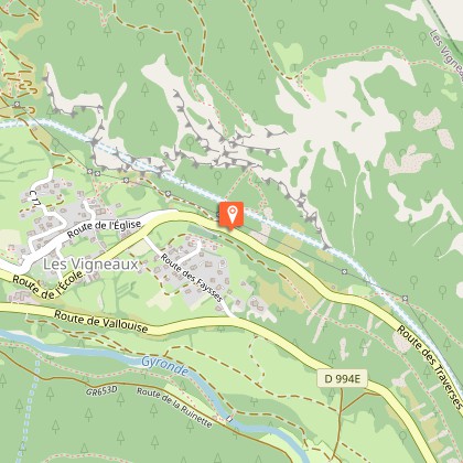
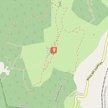
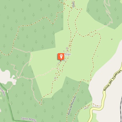
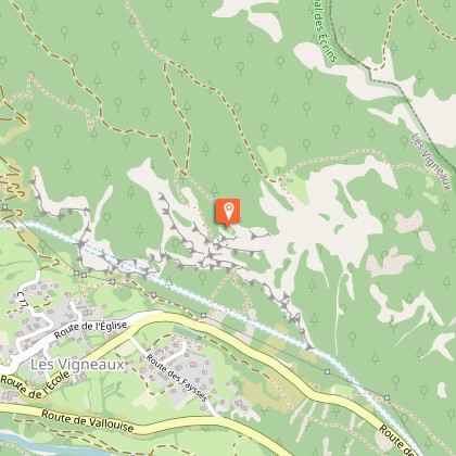
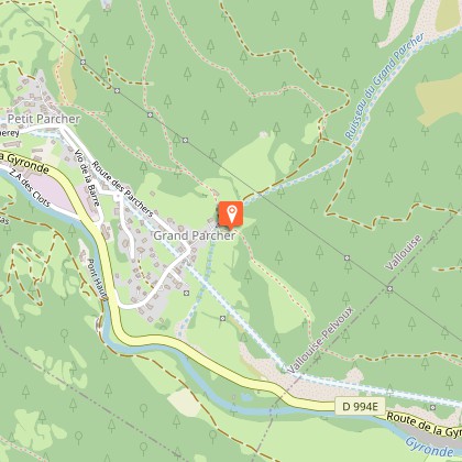
Roaming between Vallouise and Durance for three days, hikers are gently drawn into the history of this mountain territory, at the turn of every path discovering the iconic landscapes and peaks of Les Écrins.The starting point of the trek, Vallouise, is a small tourist town featuring traditional architecture. Here, you can visit the Park Centre (“Maison du Parc”), explore the gardens and alleyways and make your final purchases before setting off on your tour.Following a forest track, the first stage takes you to Puy-Saint-Vincent, a mountain village and ski resort. Then, passing through a number of hamlets of this community, you come to the Col de la Pousterle and its vast grassy stretches surrounded by larches. Here, you gain a remarkable panoramic view over Pelvoux and the Glacier Blanc. As you head down towards the Durance, the forest ambience that predominates for most of the descent gives way to more urban surroundings: L’Argentière la Bessée, a small town with a rich industrial past, has not only preserved its economic and social dynamism but also offers an attractive living environment and lifestyle!The second stage leads to the charming mountain pasture hamlet of Bouchier. After following the Gyronde mountain stream and passing through the village of Les Vigneaux, you climb uphill towards this hamlet enjoying superb views over the Queyras valley and the Briançon area. This slope faces due south and it can be very hot here despite the forest cover.During your overnight stay in Bouchier, make the most of the pure skies and the absence of light pollution to gaze at the stars, either directly or from the astronomical observatory established there, if it is open.The final stage takes you back to Vallouise. The balcony pathway above the Gyronde hugs the Montbrison massif and its famous ridge formations ("Dentelles", meaning lace in French). After Les Vigneaux, the view opens up onto the glacial valleys of Ailefroide and the Glacier Blanc, and also onto your first-stage route, Puy-Saint-Vincent and the Col de la Pousterle.
Technical Information
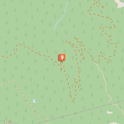
Altimetric profile
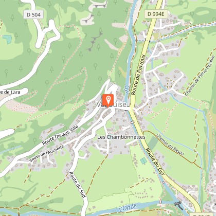
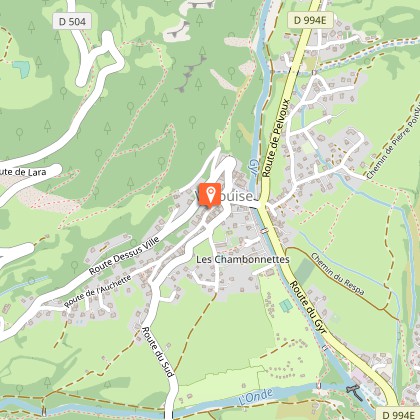
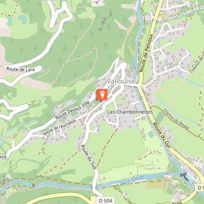
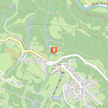
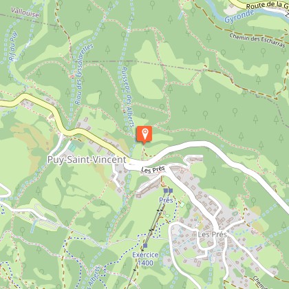
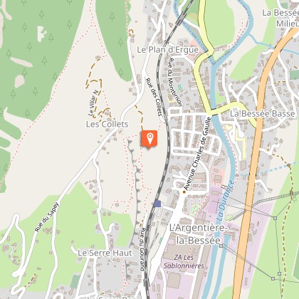
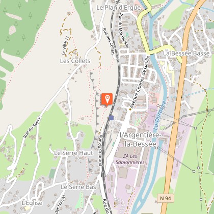
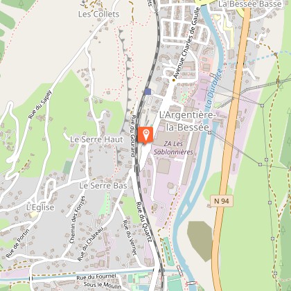
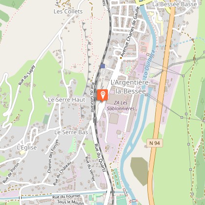
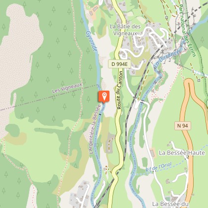
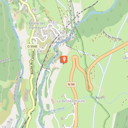
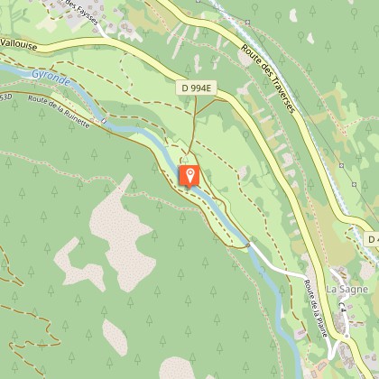
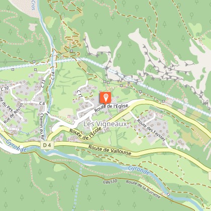
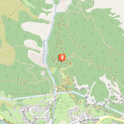
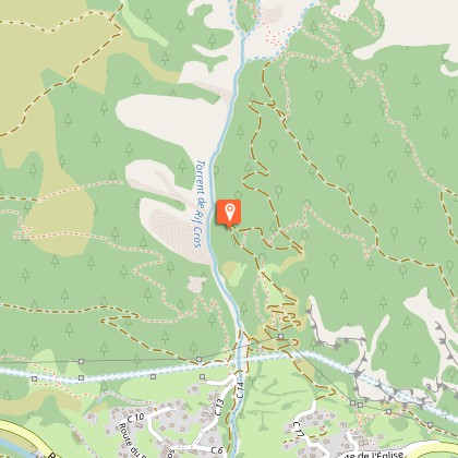
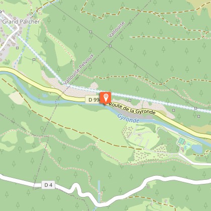
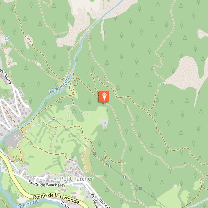
Starting point
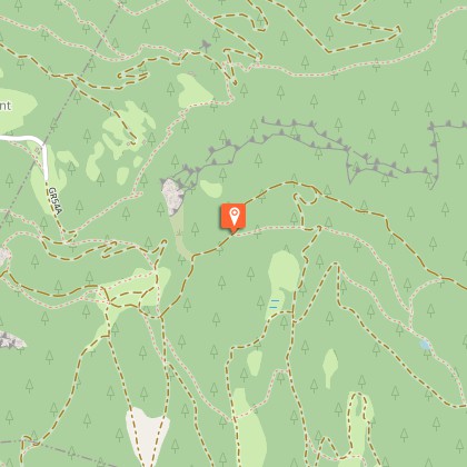
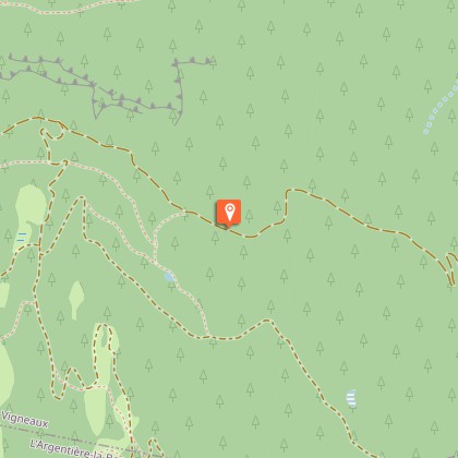
Steps

Additional information
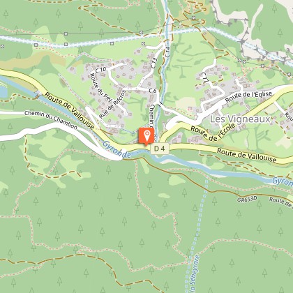
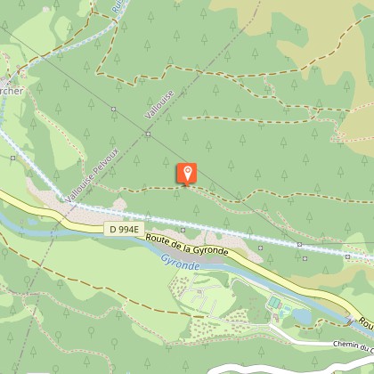
Departure
Vallouise
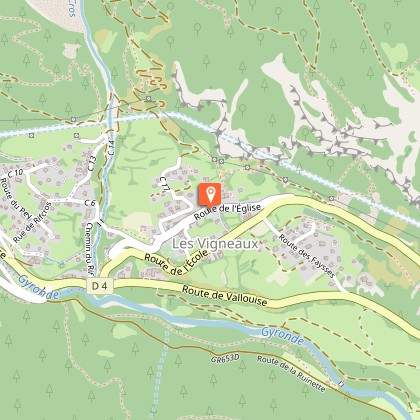
Arrival
Vallouise
Ambiance
This 3-day trek allows time to take in the landscape, be it natural or built. It tells the unique and iconic story of this major gateway to Les Écrins and its many resources.
Access
9 kms away from L'Argentière La Bessée by road D994E
Advised parking
Vallouise Park House car park
Public transport
Informations : paysdesecrins.com/transports
Herd protection dogs
In mountain pastures, protection dogs are there to protect the herds from predators (wolves, etc.).When I hike I adapt my behavior by going around the herd and pausing for the dog to identify me.Find out more about the actions to adopt with the article "Protection dogs: a context and actions to adopt".Tell us about your meeting by answering this survey.
