Alert
Alerts
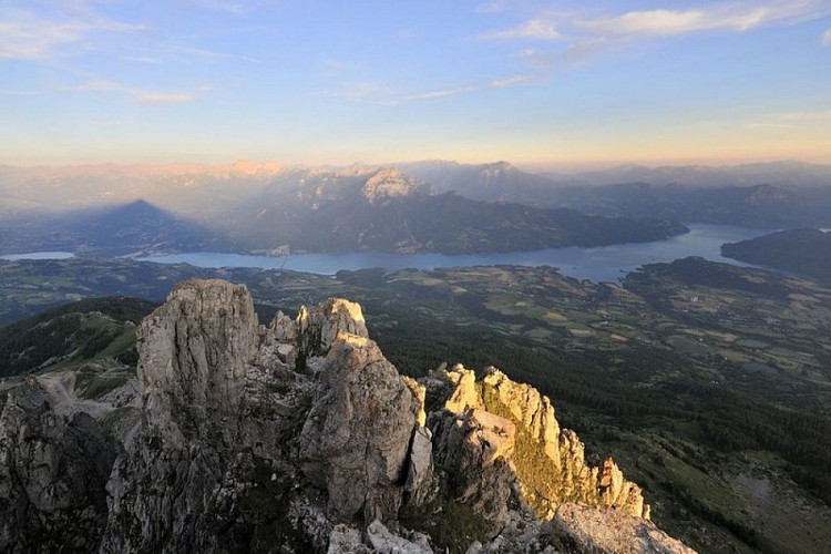
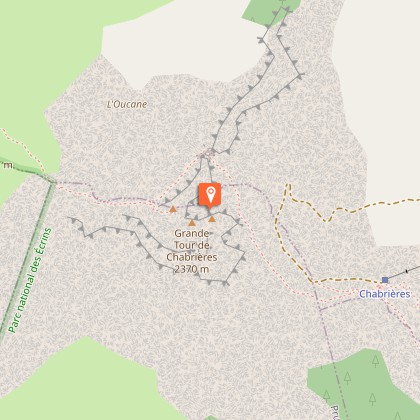
Les Aiguilles de Chabrières

Description
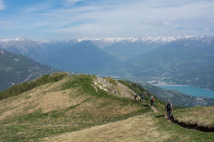
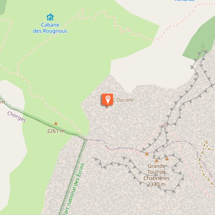
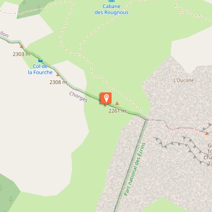
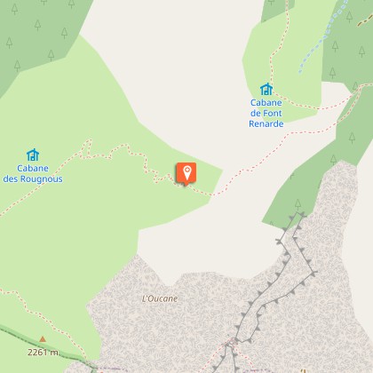
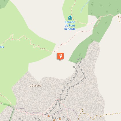
A varied walk through forests, cattle and sheep pastures and rock with a beautiful view of the Serre Ponçon lake, Les Oucanes and Les Aiguilles de Chabrières. From the car park, take the Joubelle forestry track. After a bend left, follow it for 500 m. Then take a footpath that leads right and climbs rapidly into the forest, it is way tracked with an orange and a blue spot. Cross the Serre du Mouton pastures (caution, the arrows on the signs are not always correct). After a flat terrain, the route climbs again to an unobstructed hillcrest from where it is possible to see the Serre Ponçon lake. The route follows the crest that leads to the top of the Chabrières chairlift and an observation point. Continue on the visible footpath (which is now ondicated by a blue spot alone) that descends slightly and continues on a ledge to link up to the foot of the corridor before climbing up again to the Chabrières gap. The footpath continues up and across until it reaches the summit that overlooks the Gap basin. From there it is possible to go to the summit of Chabrières, which takes 15 minutes (steep, non-sign-posted route. Not recommended with children) The footpath skirts the Oucanes and continues down towards the Rougnous plateau that it then crosses. It then winds into a valley and joins up with a footpath coming from the Font-Renarde mountain hut that is visible below. Continue on the footpath and link up with the ski slopes that lead to the car park.
Technical Information
Altimetric profile
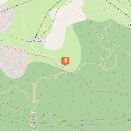
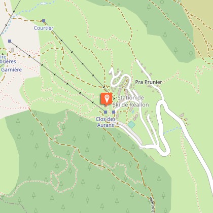
Starting point
Steps
Additional information
Departure
Stazione di Réallon
Ambiance
This hike has a wonderful belvedere over Réallon and the Gap area. It will be a delight for geology enthusiasts as they go over the Oucanes or come close to the Aiguilles de Chabrières.
Access
Several possible routes: from Chorges via Saint Appolinaire (D9), from Savines-le-Lac via Chérines (D41) and from Embrun by the Route des Puys (D9)
Advised parking
Réallon ski resort (1550)
Public transport
Shuttle possible from the Chorges train station to Réallon. Be sure to reserve 36 hours in advance at 05voyageurs or by calling 04 92 502 505.
Advice
In June, the late névé can sometimes hide the footpath and the signs. A flock is present on the pastures and "Patou" dogs ensure their protection Avoid passing through the flock.
Herd protection dogs
In mountain pastures, protection dogs are there to protect the herds from predators (wolves, etc.).When I hike I adapt my behavior by going around the herd and pausing for the dog to identify me.Find out more about the actions to adopt with the article "Protection dogs: a context and actions to adopt".Tell us about your meeting by answering this survey.
