Alert
Alerts
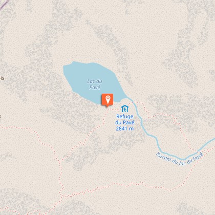
Pavé lake and mountain refuge


Description
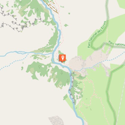
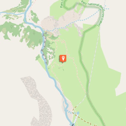
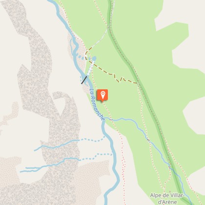
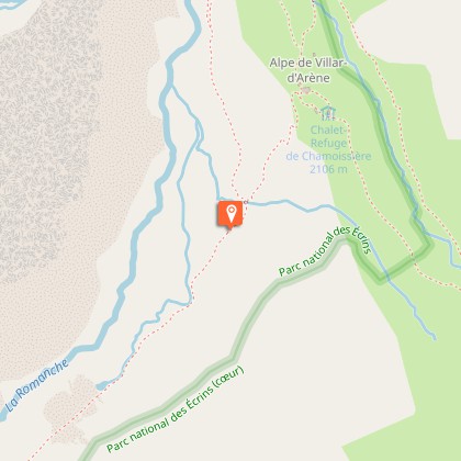
A hike for immersion in incredible alpine landscapes, where the goal is to discover the Pavé lake. Life, zooplancton and phytoplancton, already exists in this recent lake, at an altitude of 2800 m.From the start, at the car park at the bottom of the La Gravière, beyond the Arsine bridge, the footpath to the Pavé mountain refuge first follows the very popular footpath to the Alpe de Villar d'Arène refuge (GR54). It leaves this path at the summit of the glacial cross-cliff that the locals call "Les voûtes". It then goes alongside the Romanche on the right bank for 2 km of the Plan de l'Alpe, which was previously of interest for the construction of a hydroelectric dam. At the Valfourche bridge that marks the entrance to the heart of the Parc National des Ecrins, the route then crosses to the left bank. It leaves the Romanche valley to go up to the Cavales valley, along the edge of the stream of the same name, until it reaches Les Pichettes, where the alpine meadows end. The valley is then purely mineral. The footpath follows the ridge of the remarkable moraine, up to just below the Clot des Cavales pass in order to circumvent a series of rocky ledges and leads to the Pavé lake and refuge.
Technical Information
Altimetric profile
Starting point
Steps
Additional information
Departure
Villar-d'Arêne
Arrival
Col du Lautaret
Ambiance
"Recent studies indicate that the Pavé lake is the deepest of the massif with a depth of 58 m. The mountain refuge is exceptional by its history. At first, it was a "site hut" during construction of the mountain refuge that was destroyed in an avalanche in its first winter. The sheet metal shelter, untouched, was enlarged and became THE mountain huté. Eric Vannard, warden Parc national des Ecrins
Access
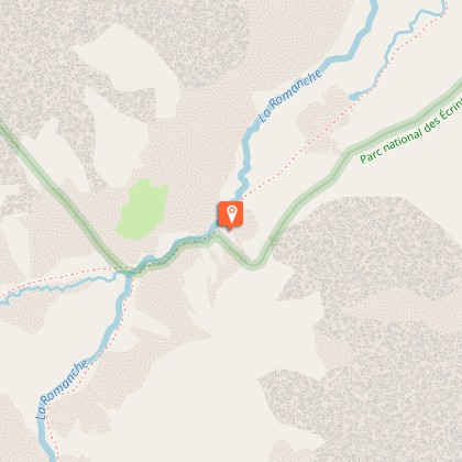
From La Grave, take the D1091 towards Villar d'Arène. Turn right onto the D207. At the crossing, turn right towards the Alpe mountain refuge. Cross the bridge and take the track to the right that leads to the car park 1 km away.
Advised parking
Car park at the bottom of La Gravière, Arsine
Public transport
Bus route Grenoble - Briançon, via le col du Lautaret (ligne express régionale : LER 35).
Advice
Make sure you have everything in your bag for this hike, as weather conditions can change quickly at this altitude.
Herd protection dogs
In mountain pastures, protection dogs are there to protect the herds from predators (wolves, etc.).When I hike I adapt my behavior by going around the herd and pausing for the dog to identify me.Find out more about the actions to adopt with the article "Protection dogs: a context and actions to adopt".Tell us about your meeting by answering this survey.
Is in the midst of the park
The national park is an unrestricted natural area but subjected to regulations which must be known by all visitors.
