Alert
Alerts
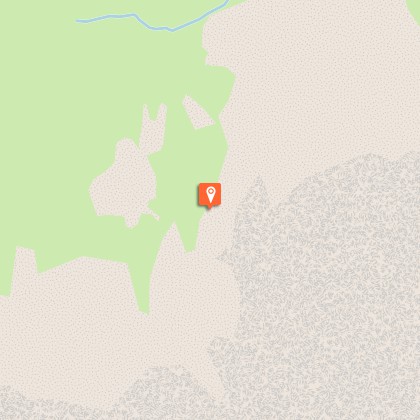
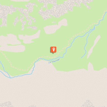
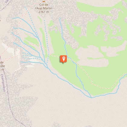
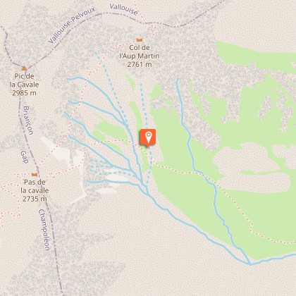
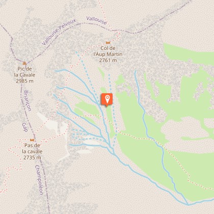
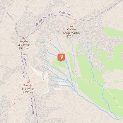
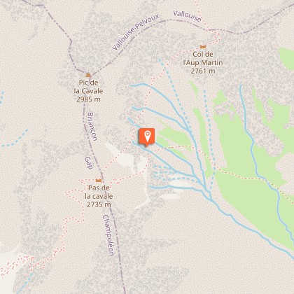
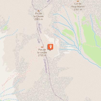
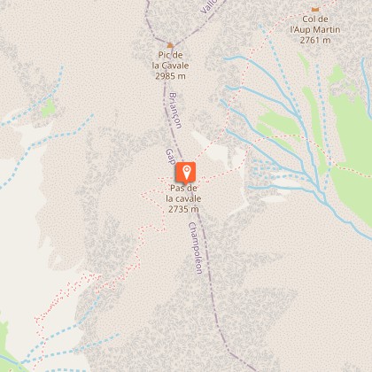
Le Pas de Cavale


IGN cards


Description
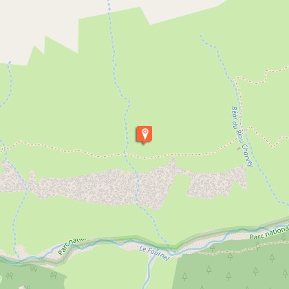
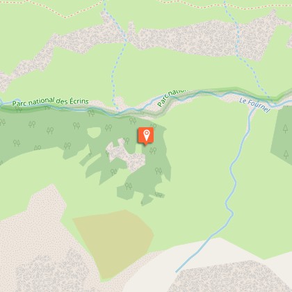
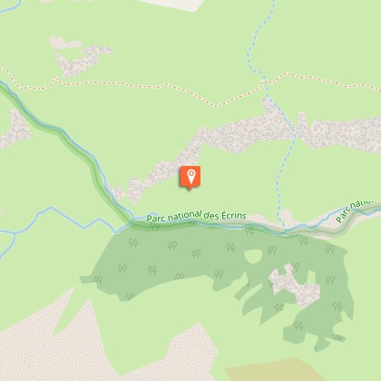
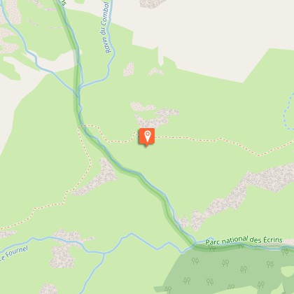
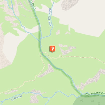
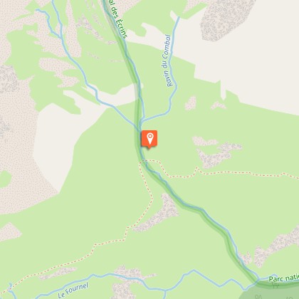
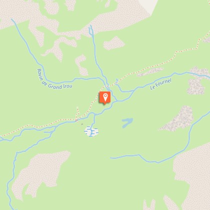
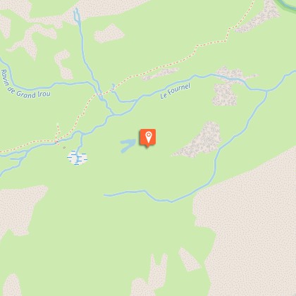
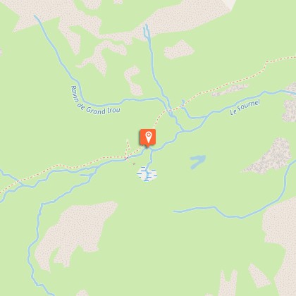
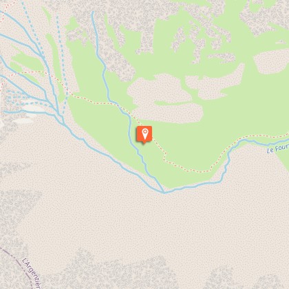
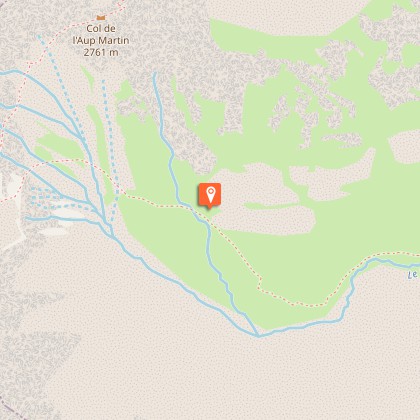
To get to the Champsaur via Le Pas de la Cavale, a gentle footpath runs the length of the Fournel valley. This is a long hike in some of the wildest scenery. From the Deslioures Car Park, at the end of the trail that follows the Fournel stream, take the footpath to the right, which is an alternative itinerary to the GR54 trail (Tour of Oisans). After the first few bends, you will arrive at a plateau from which a trail through the shale leads to La Balme pastoral hut. Follow this trail to the Clausis stream and enter the National Park. Then continue until you reach the Grande Cabane, which is situated above the Fournel glacial cross-cliff.From here, the footpath continues up into the valley alongside beautiful wetlands, crossing scree and shale before reaching the pass.Three possibilities for the return trip: back the way you came, via the Pré de la Chaumette to get to the Champsaur or by l’Aup Martin pass in order to reach Vallouise.
Technical Information
Altimetric profile
Starting point
Steps

Additional information
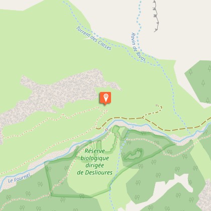
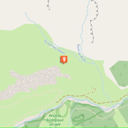
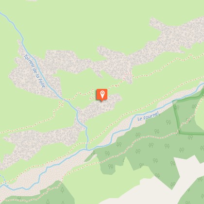
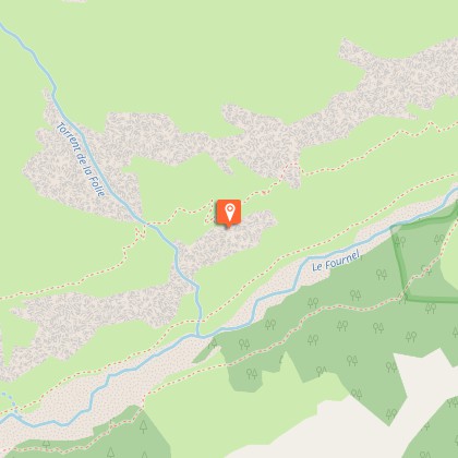
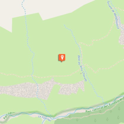
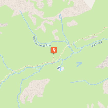
Departure
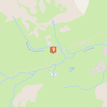
Deslioures Car Park, La Salce, l'Argentière-La-Bessée
Ambiance
"Freezing and enclosed, the Fournel valley? Not as much as you would think as even the pig that the shepherd took to the Grand Cabane got sunburnt!" Jean-Philippe Telmon, warden.
Access
From the roundabout, with the wagon on it, in l'Argentière-La-Bessée, head towards the Fournel valley. The road climbs up above the village and continues into the Fournel valley. A track then leads up to the Deslioures Car Park (1560 m).CAUTION: this small road is generally closed in winter 200 m before the hamlet of l'Eychaillon (1250 m).
Advised parking
Deslioures Car Park
Public transport
Nearest SNCF train station : L'Argentière-les-Ecrins (www.voyages-sncf.com) L'Argentière-les-Ecrins / La Salce: taxi (Taxi Pellegrin 06 98 88 17 78 / Taxi Billau 06 08 03 45 90)
Advice
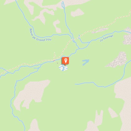
The car park is a stone's throw away from the Deslioures ecological reserve, which is the largest European site for the Queen of the Alps. This is a protected plant and it is strictly forbidden to pick it. It blossoms from July to August.
Herd protection dogs
In mountain pastures, protection dogs are there to protect the herds from predators (wolves, etc.).When I hike I adapt my behavior by going around the herd and pausing for the dog to identify me.Find out more about the actions to adopt with the article "Protection dogs: a context and actions to adopt".Tell us about your meeting by answering this survey.
Is in the midst of the park
The national park is an unrestricted natural area but subjected to regulations which must be known by all visitors.
